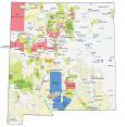
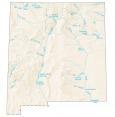
New Mexico Lakes and Rivers Map
About the map
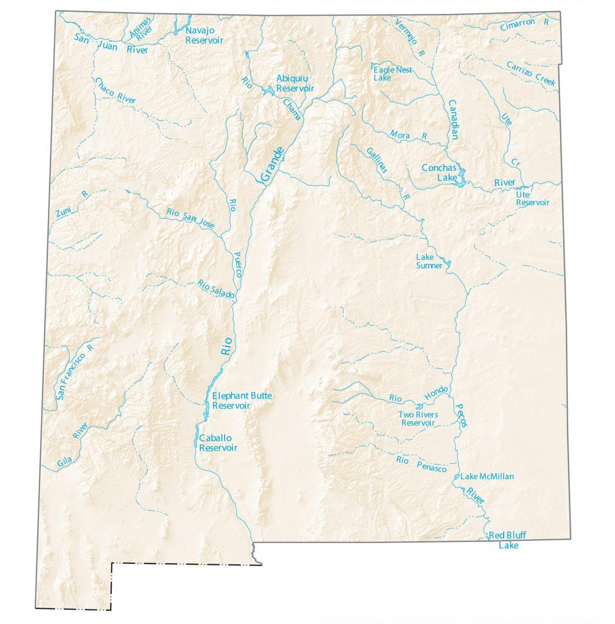
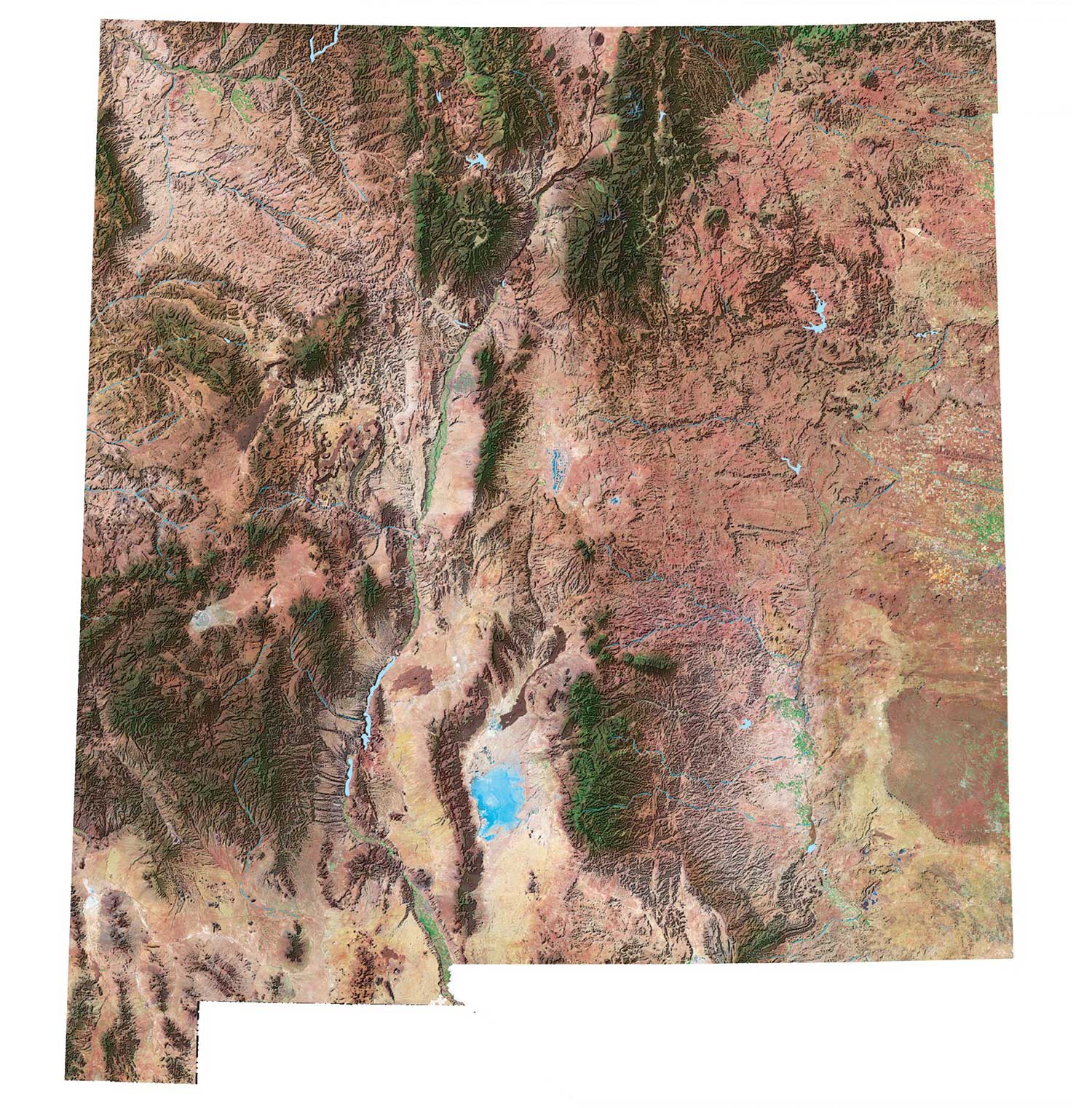
This map shows major rivers, reservoirs, and lakes of New Mexico like the Rio Grande and Pecos River. The Rio Grande Basin spans the largest area in the state and includes important cities situated along the waterway.
The Rio Grande is one of the major rivers in New Mexico. In fact, it starts all the way north in Colorado. Then, it flows completely through New Mexico, including the west of Albuquerque.
By far, the largest lake in New Mexico is the Elephant Butte Lake at 36,500 acres. In fact, it’s so large that it more than doubles the second largest lake, Navajo Lake at 15,610 acres.
New Mexico map collection
You are free to use our lakes and rivers map of New Mexico for educational and commercial uses. Attribution is required. How to attribute?
New Mexico lakes, rivers and reservoirs
Lakes and reservoirs
Elephant Butte Reservoir
Conchas Lake
Caballo Reservoir
Navajo Reservoir
Abiquiu Reservoir
Canadian River
Red Bluff Lake
Two Rivers Reservoir
Lake Sumner
Eagle Nest Lake
Ute Reservoir
Lake McMillan
Rivers and streams
Pecos River
Rio Grande
San Juan River
Rio Chama
Rio Puerco
Gila River
Rio Hondo
Chaco River
Animas River
Vermejo River
Mora River
Cimarron River
Carrizo Creek
Ute Creek
Gallinas River
Penasco Rio
San Francisco River
Rio Salado River
Rio San Jose River
Zuni River