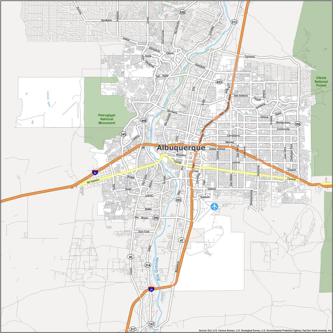
Albuquerque Map, New Mexico
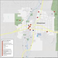
10 Things To Do in Albuquerque
The city of Albuquerque is the home of Breaking Bad, blue skies, and sunshine. Albuquerque, often called the “Duke City,” is known for hosting the International Balloon Fiesta. This event is one of the largest hot air balloon festivals in the world.
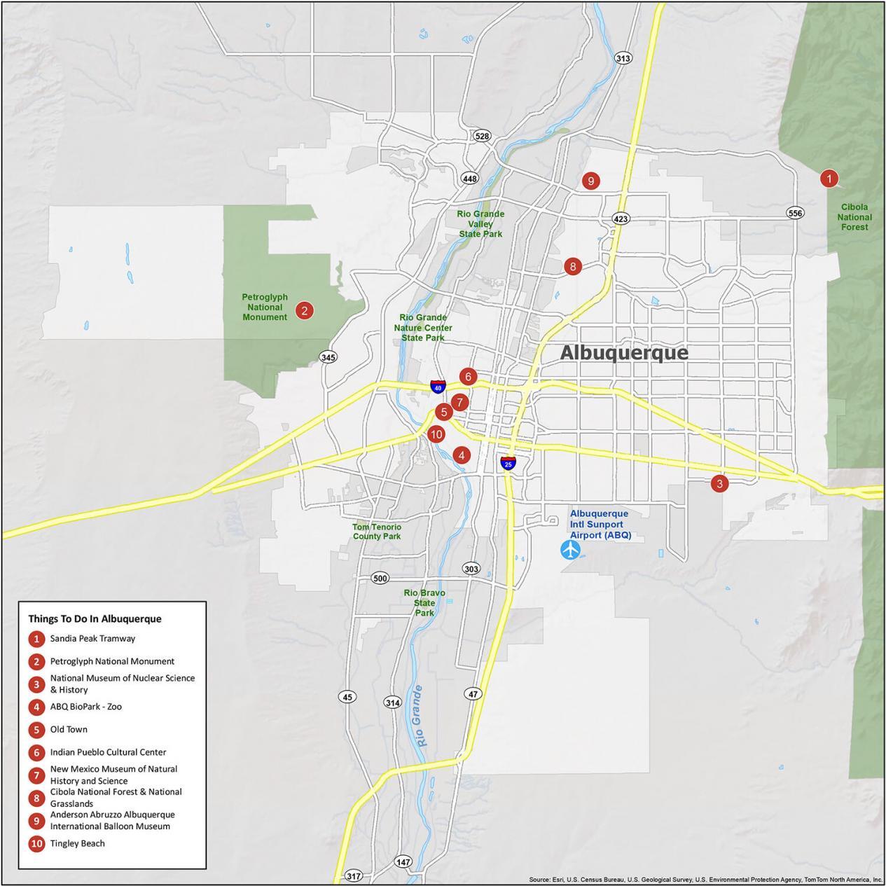
Some of the top sites in Albuquerque include the Old Town, the National Museum of Nuclear Science & History, and the ABQ BioPark.
1. Sandia Peak Tramway
2. Petroglyph National Monument
3. National Museum of Nuclear Science & History
4. ABQ BioPark – Zoo
5. Old Town
6. Indian Pueblo Cultural Center
7. New Mexico Museum of Natural History and Science
8. Cibola National Forest & National Grasslands
9. Anderson Abruzzo Albuquerque International Balloon Museum
10. Tingley Beach
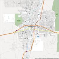
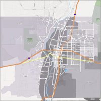
Albuquerque Map with Villages and Places
Albuquerque is the largest city in New Mexico. But it’s not the capital city. Albuquerque is located between the Sandia Mountains to the east and just south of the Jemez Mountains. With a mix of arid desert and mountain views, it has over 300 sunny days each year.
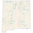
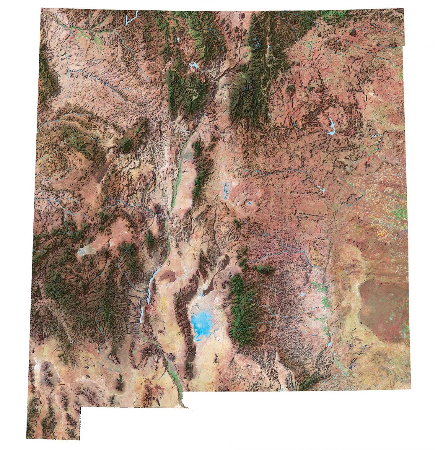
If you’re looking for more, you can also find our New Mexico lakes and rivers map at a state level.
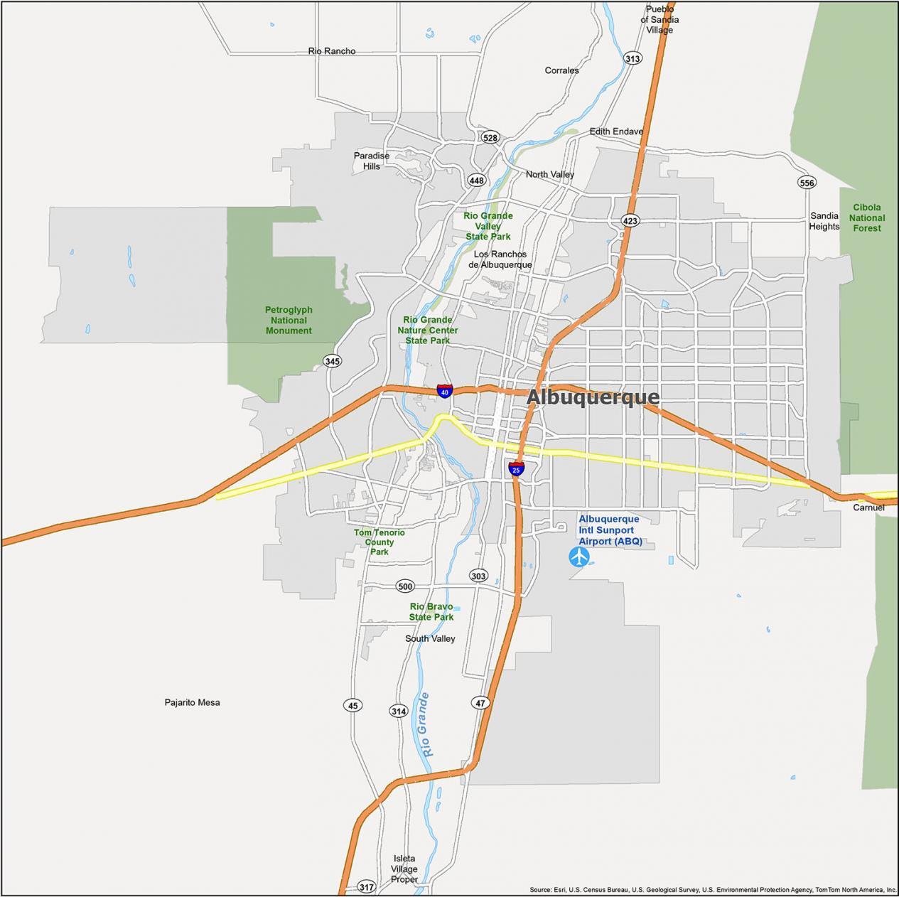
Villages: Corrales, Los Ranchos de Albuquerque
Census Designated Place (CDP): Carnuel, Edith Endave, Isleta Village Proper, North Valley, Pajarito Mesa, Paradise Hills, Pueblo of Sandia Village, Sandia Heights, South Valley
City: Rio Rancho
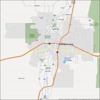
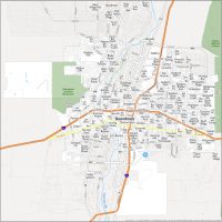
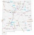
Albuquerque Highways and Roads
What we like about Albuquerque is the people, food, and laid-back lifestyle. It’s also easy to get out for a road trip. Make sure to check out our New Mexico road map if you’re looking for highways and interstates of the entire state.

Interstate Highways: 25, 40
State Highways: 45, 47, 303, 313, 314, 345, 448, 423, 500, 528, 556
Major Roads: Alameda Blvd, Candelaria Rd, Central Ave, Comanche Rd, Del Norte, Indian School Rd, Lomas Blvd, Menaul Blvd, Montgomery Blvd, Pan American East Fwy, Pan American Fwy, Pan American West Fwy, Spain Rd, Tramway Blvd
Roads: Academy Rd, Candelaria Rd, Cesar Chavez, Coors Blvd, Del Norte, Eubank Blvd, Frontage Rd, Gibson Blvd, Juan Tabo Blvd, Locust St, Lomas Blvd, Menaul Blvd, Montano Rd, Montgomery Blvd, Mountain Rd, Oak St, Osuna Rd, Pan American Fwy, Rio Bravo Blvd, San Mateo Blvd, Stadium Blvd, Sunport Blvd, Taylor Ranch Rd, University Blvd, Unser Blvd, Wyoming Blvd, Yale Blvd
“the city different” refers to Santa Fe, not Albuquerque. Newish to the area, but what I’ve heard.
Yes, you’re right. I’ve updated the article.
Going to travel