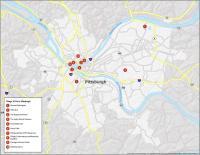
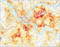
Pittsburgh Neighborhood Map
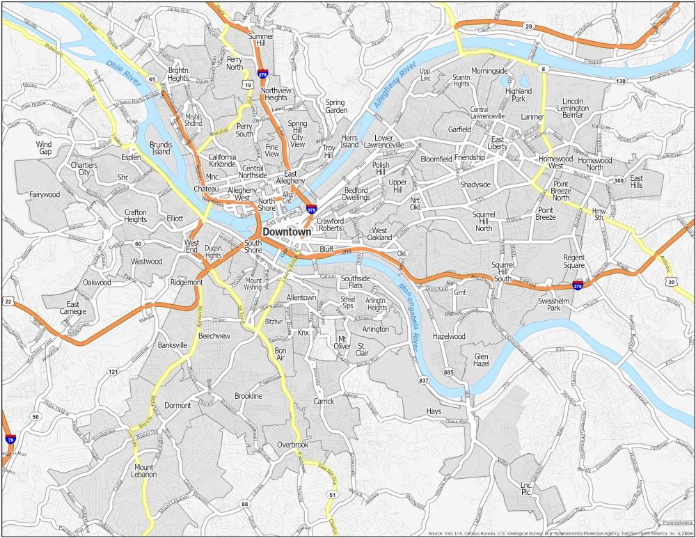
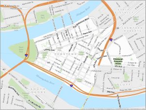
Downtown Pittsburgh
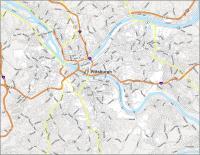
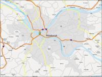
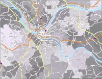
Downtown is the central business district of Pittsburgh. It’s also home to iconic landmarks like Point State Park, Market Square, and the Cultural District. The area is known for its glass façade including PPG Place.
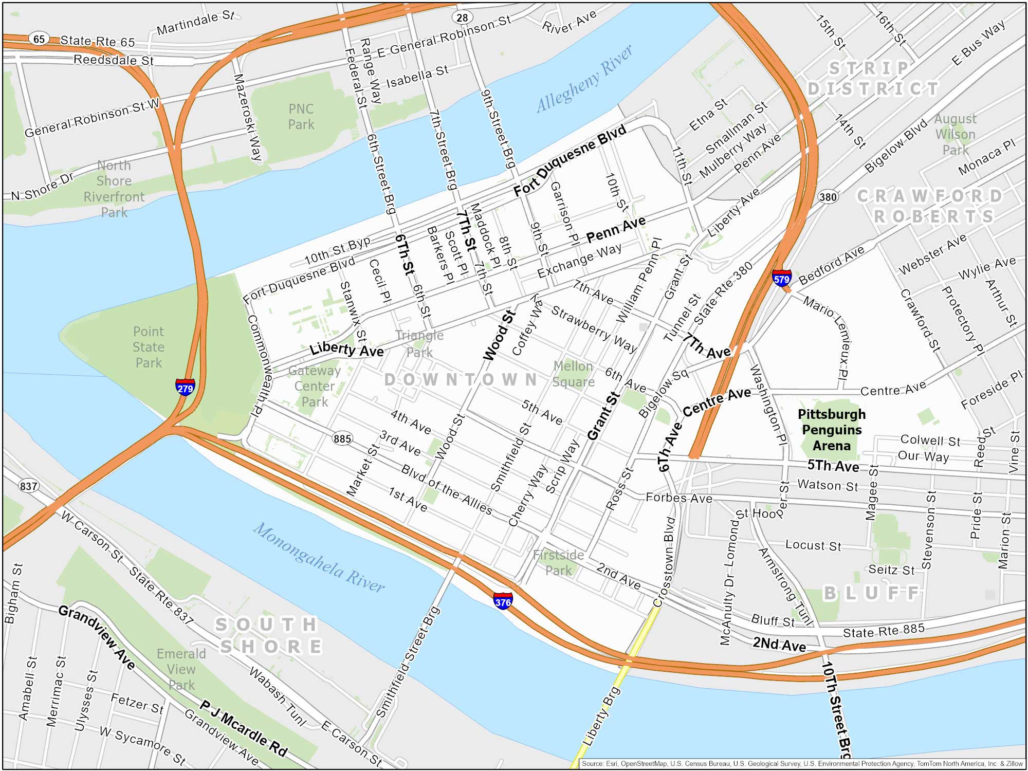
Downtown Pittsburgh is called the “Golden Triangle” because it’s where the Allegheny and Monongahela Rivers meet. At this point of convergence, it’s where it becomes the Ohio River.
Shadyside Map
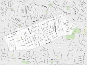
Shadyside is located in the East End. It’s an upscale neighborhood with a historic twist. It features a commercial district along Walnut Street and Ellsworth Avenue. One advantage is its close proximity to universities like Carnegie Mellon and the University of Pittsburgh.

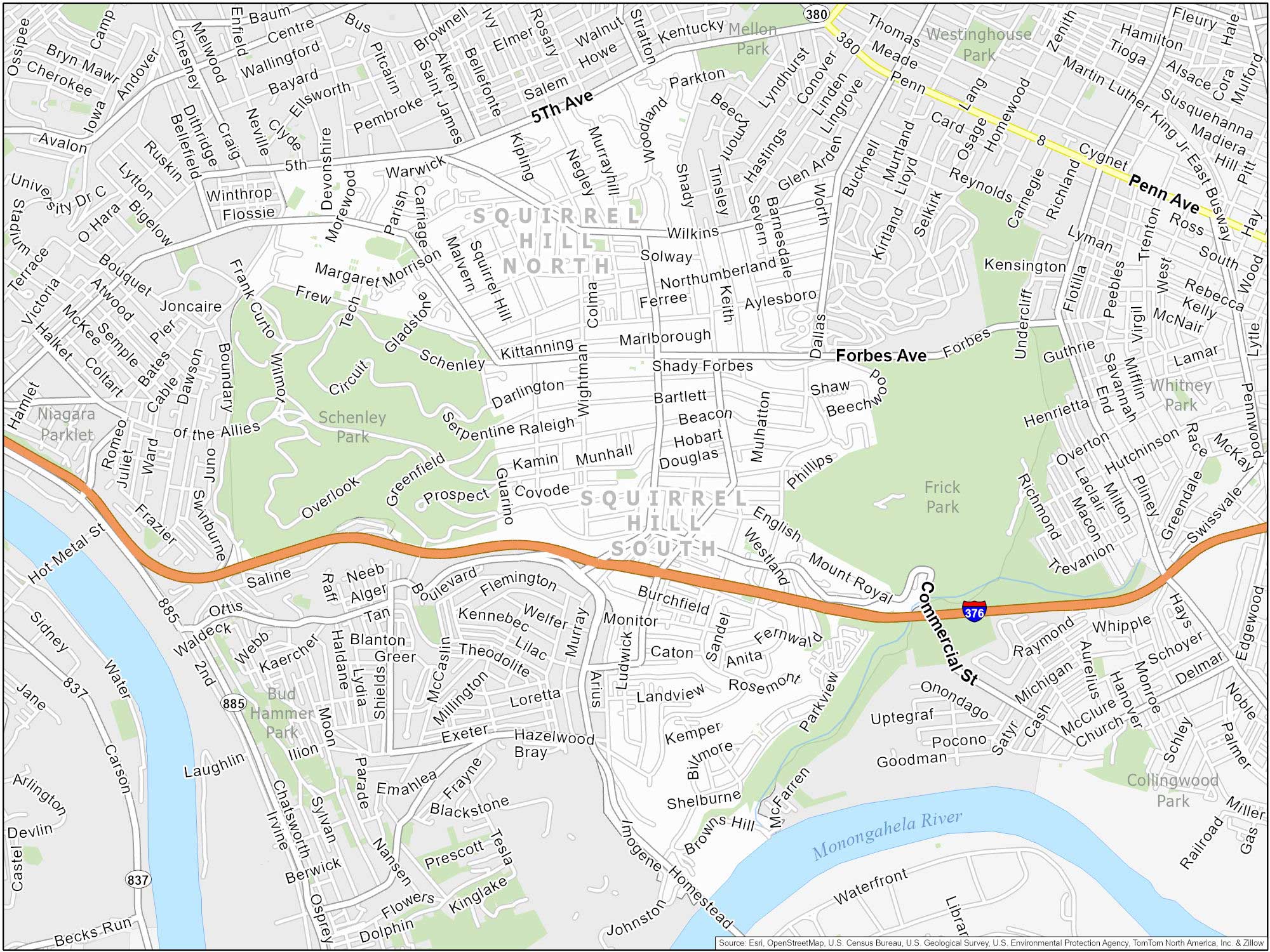
Squirrel Hill
Squirrel Hill is near Downtown Pittsburgh. We typically divide it into north and south sections (as shown on our map). Forbes and Murray Avenue are its commercial corridors. Squirrel Hill is also adjacent to some of Pittsburgh’s largest and most beautiful green spaces, such as Schenley Park and Frick Park.
South Side Flats
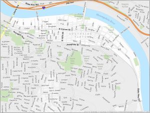
South Side is located south of the Monongahela River. We can split it into two distinct areas: South Side Flats and South Side Slopes. The Flats is known for its entertainment scene along East Carson Street. Whereas the Slopes have nice views of the city.

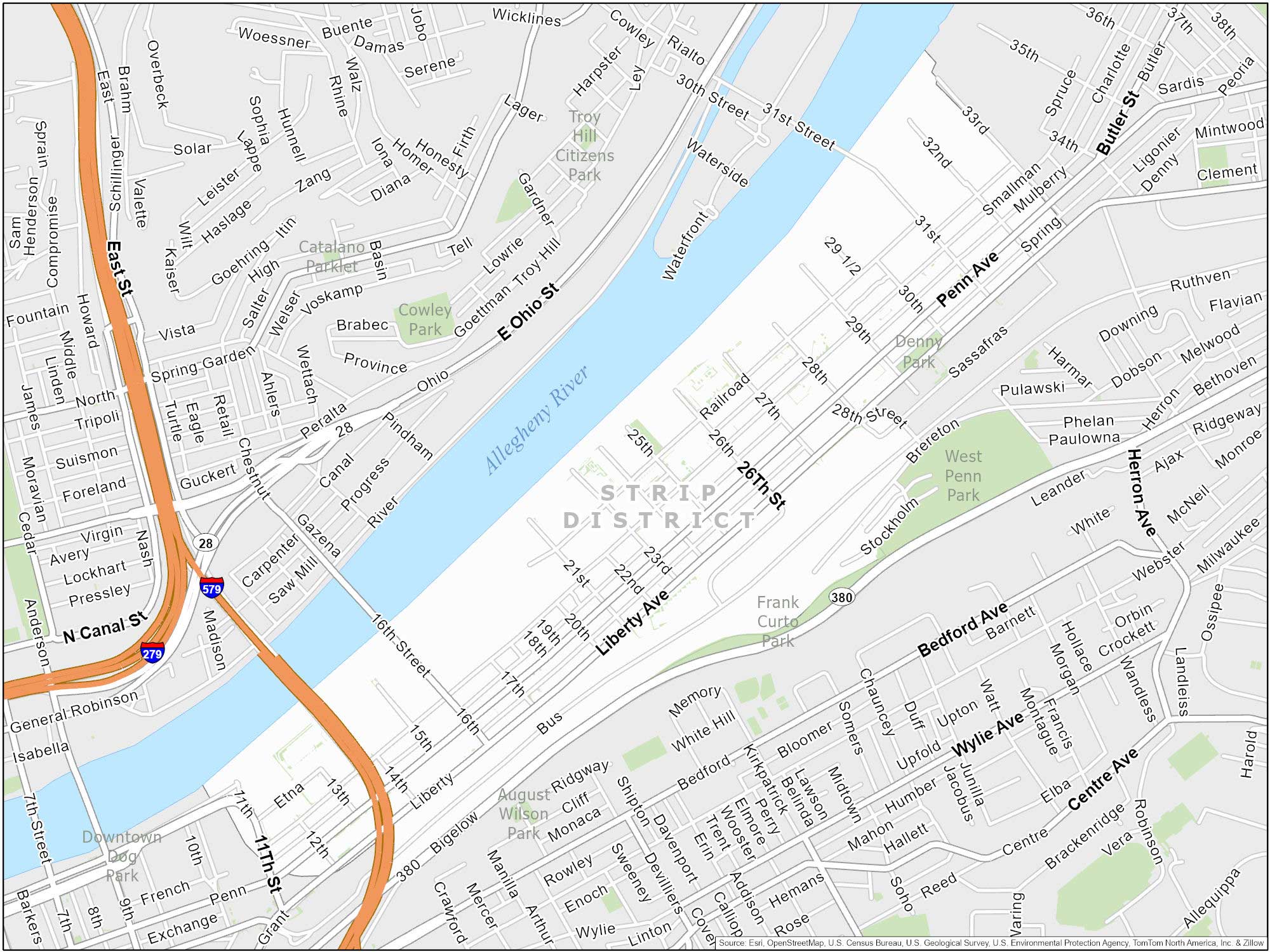
Strip District
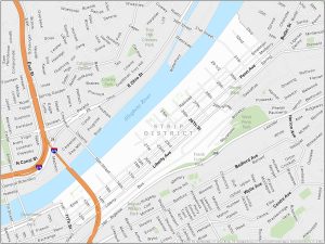
Strip District is adjacent to Downtown along the Allegheny River. It has a nice food scene to it. Weekends are especially popular here because of its weekend farmer’s market.
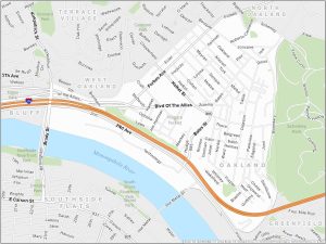
Oakland Neighborhood Map
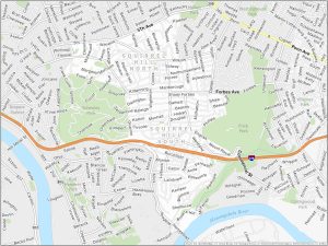
Situated east of Downtown, Oakland is a kind of a college town. It’s close to the University of Pittsburgh and Carnegie Mellon University. Green spaces are also a plus here like Schenley Park.

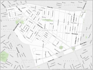
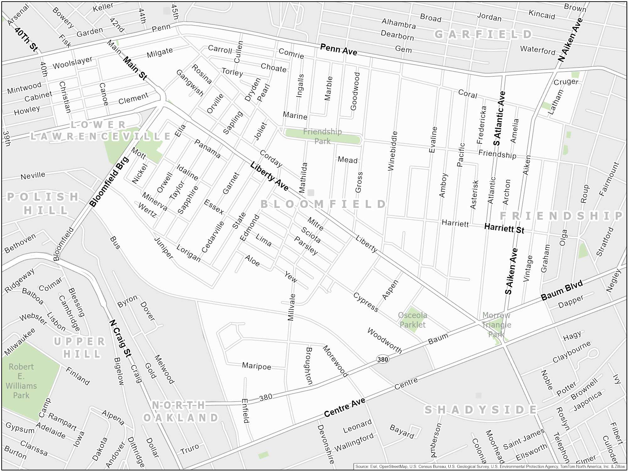
Bloomfield Map
Bloomfield is situated northeast of Downtown. It’s known as Pittsburgh’s “Little Italy”. One of the highlights is the annual Little Italy Days festival, which celebrates the neighborhood’s heritage. Liberty Avenue is the main commercial strip and is also home to West Penn Hospital.
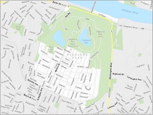
Highland Park
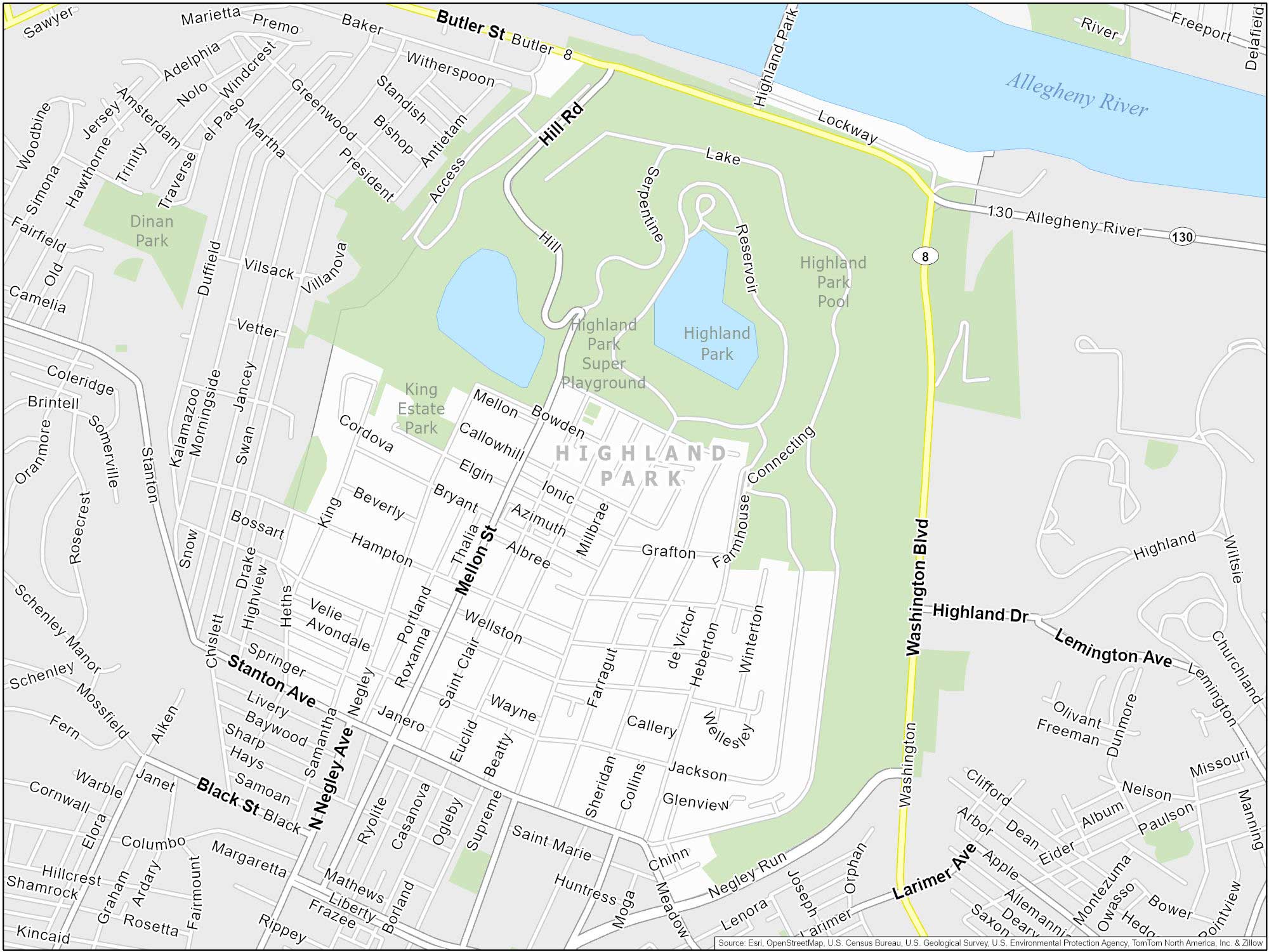
Highland Park is found in the East End of Pittsburgh. It’s a serene and picturesque neighborhood. It also has easy access to the Highland Park Reservoir and the Pittsburgh Zoo & PPG Aquarium.
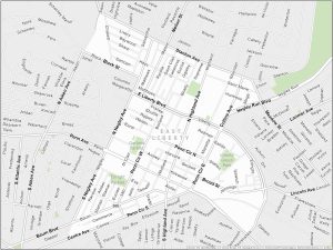
East Liberty
East Liberty is located in the eastern part of Pittsburgh. It’s bordered by Shadyside, Highland Park, Larimer, and Point Breeze. Its central location makes it a key area within the city.