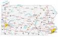
Map of Pennsylvania – Cities and Roads

About the map
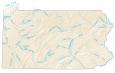
This Pennsylvania map contains cities, roads, rivers, and lakes. For example, Philadelphia, Pittsburgh, and Allentown are some of the major cities shown in this map of Pennsylvania.
Pennsylvania is like America’s history state. First, it was one of the original 13 colonies, which declared independence in 1776 and formed the United States of America. It was also the site of the American Civil War (1861-1865), specifically during the Battle of Gettysburg.
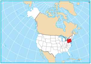
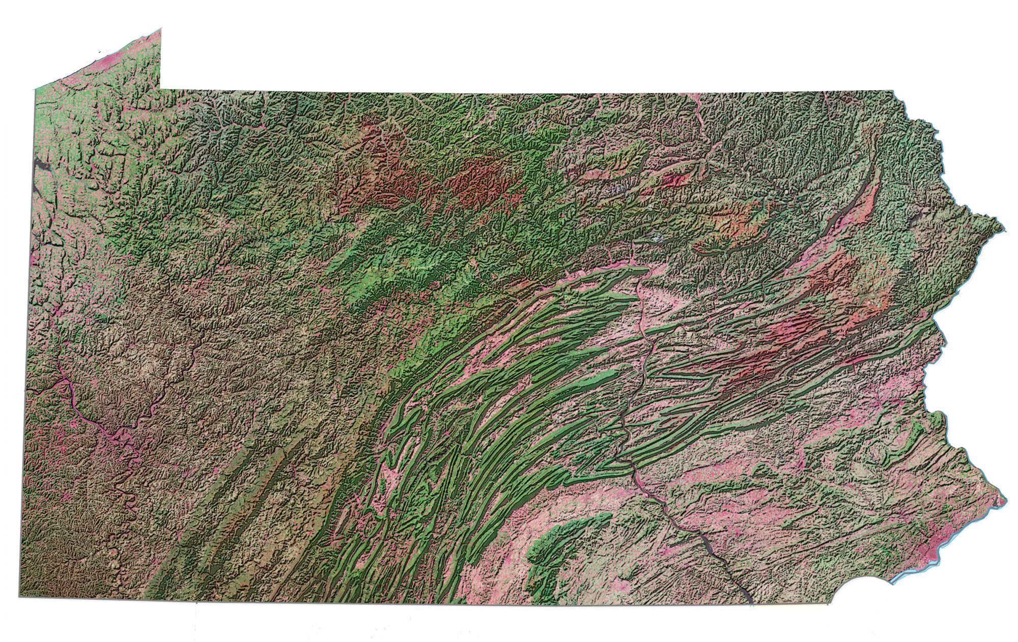
Pennsylvania is a middle Atlantic State and is located in the northeast of the United States. It borders Ohio, West Virginia, Maryland, Delaware, New York, and New Jersey. It’s important to note that the Appalachian Mountains stretch through Pennsylvania with sixty summits that are over 2,500 feet (800 m) in elevation.
Pennsylvania map collection
You are free to use our map of Pennsylvania for educational and commercial uses. Attribution is required. How to attribute?
State capital
Harrisburg
Major cities and towns
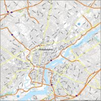
Philadelphia
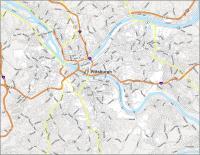
Pittsburgh
Allentown
Harrisburg
Erie
Altoona
Bethel Park
Bethlehem
Chester
Easton
Lancaster
New Castle
Norristown
Reading
Scranton
State College
Wilkes-Barre
Williamsport
York
Levittown
Mt Lebanon
Monroeville
Aliquippa
Beaver Falls
Bellefonte
Berwick
Bradford
Butler
Carbondale
Carlisle
Chambersburg
Clearfield
Columbia
Connellsville
Corry
Coudersport
Du Bois
Emporium
Franklin
Gettysburg
Greenville
Hazleton
Honesdale
Huntingdon
Indiana
Jersey Shore
Kane
Lebanon
Lewistown
Lock Haven
Mansfield
Meadville
Oil City
Pottsville
Sharon
Shenandoah
Somerset
Sunbury
Titusville
Towanda
Uniontown
Warren
Washington
Waynesburg
Wellsboro
Punxsutawney
Hanover
Johnstown
Edinboro
Grove City
Clarion
St Marys
Kittanning
New Kensington
Greensburg
Bedford
Tyrone
Sayre
Pittston
Stroudsburg
Bloomsburg
Pottstown
Doylestown
West Chester
Interstate highways
Interstate-70 (I-70)
Interstate-76 (I-76)
Interstate-78 (I-78)
Interstate-79 (I-79)
Interstate-80 (I-80)
Interstate-81 (I-81)
Interstate-83 (I-83)
Interstate-84 (I-84)
Interstate-90 (I-90)
Interstate-99 (I-99)
Interstate-476 (I-476)
Lakes, rivers and creeks
Allegheny River
Delaware River
Susquehanna River
Allegheny Reservoir
Raystown Lake
Ohio River
Chesapeake Bay
Delaware Bay
Landmarks in Pennsylvania
Lake Erie
Appalachian Mountains
Mount Davis
How do I fined out how a road got its name.”Sugar run road”
Blair county
Altoona PA. 16602
Not too sure, Raymond. Maybe, send an inquiry to your county administration? I am not too sure if GIS will help you with that answer.