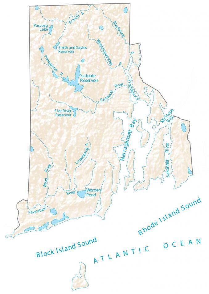
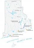
Rhode Island Lakes and Rivers Map
About the map
In this Rhode Island map, you will find major rivers, reservoirs, bays, sounds, and lakes like the Rhode Island Sound. In general, the rivers and streams of Rhode Island flow into the Atlantic Ocean.
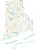
The Rhode Island Sound and Block Island Sound are ocean inlets off the coast of Rhode Island. Then, Narragansett Bay and Mount Hope Bay are estuaries on the north side of the Rhode Island Sound.
Blackstone River is the longest river in the state of Rhode Island. This is followed by the Pawcatuck River and Wood River.
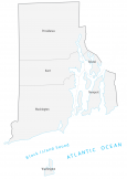
Rhode Island map collection
You are free to use our lakes and rivers map of Rhode Island for educational and commercial uses. Attribution is required. How to attribute?
Rhode Island lakes, rivers and reservoirs
Lakes, bays and reservoirs
Block Island Sound
Rhode Island Sound
Narragansett Bay
Scituate Reservoir
Mt Hope Bay
Worden Pond
Flat River Reservoir
Pascoag Lake
Smith and Sayles Reservoir
Atlantic Ocean
Rivers and streams
Sakonnet River
Pawtuxet River
Blackstone River
Branch River
Pawcatuck River
Usquepaug River
Providence River
Woonasquatucket River
Ponaganset River