San Diego Crime Map
San Diego Crime Map Neighborhoods
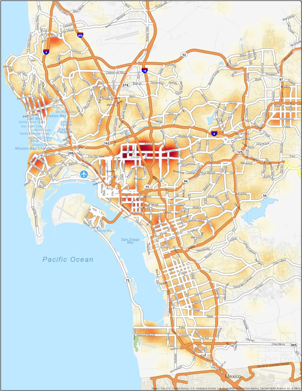
Our San Diego crime map is your guide to understanding safety of this sunny coastal city. While San Diego is a “classy” city in itself (shout out to Ron Burgundy), it’s also important to stay informed about crime statistics in neighborhoods.
| Neighborhood | Location | Types of Crimes |
|---|---|---|
| City Heights | Central San Diego, east of Balboa Park | One of the worst neighborhoods in the United States. Property crimes, thefts, burglaries, and occasional assaults. |
| Southeastern San Diego | South of Downtown, encompassing several smaller neighborhoods | High rates of property crimes, violent incidents, and drug-related offenses. |
| Logan Heights | Southeast of Downtown San Diego, near Chicano Park | Theft, burglaries, assaults, and occasional shootings. |
| Barrio Logan | South of Downtown, adjacent to the waterfront | Property crimes, vandalism, drug-related offenses, and occasional violence. |
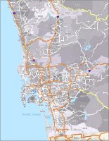
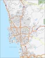


Please include a legend with a coloring scheme that matches the rates of crime denoted by the colors on the map.
Thank you