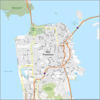
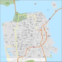
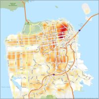
San Francisco Crime Map

The Tenderloin District
Located in the downtown area, Tenderloin faces higher crime rates. This includes drug-related offenses, property crime, and homelessness issues. As a tourist, I recommend you to not wonder off into the Tenderloin District.
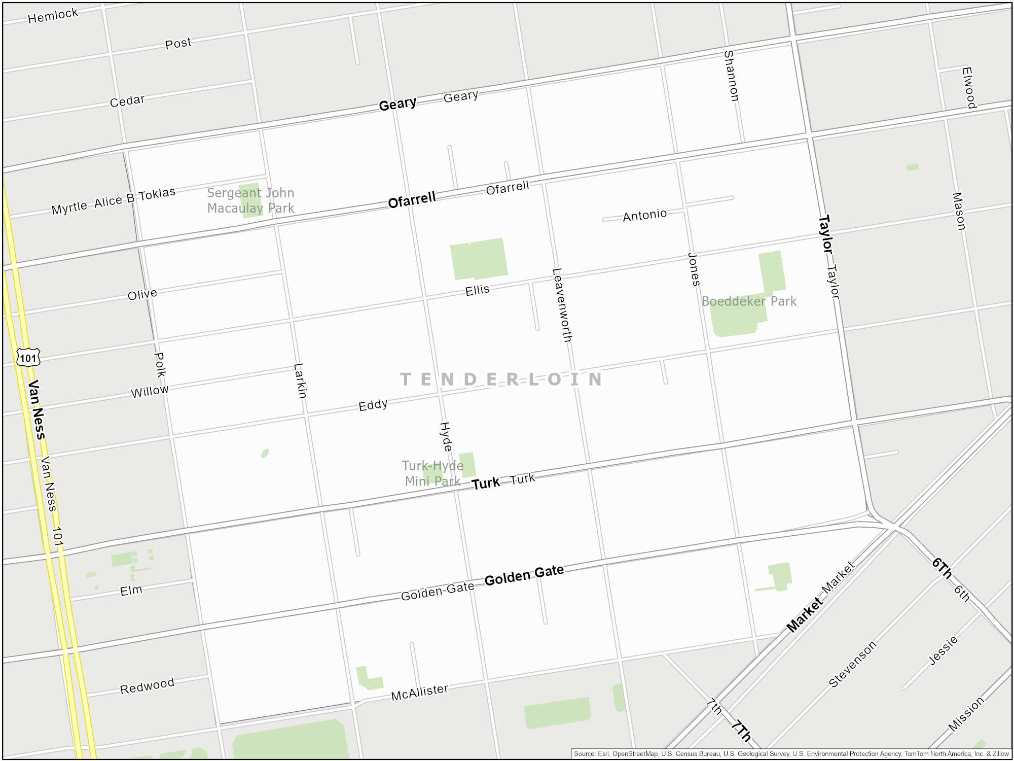
I’ve walked along Van Ness along the west side and it was safe. I remember my kids finding a lot of pennies on the ground. But keep a safe distance from the homeless camps and encampments in Tenderloin, especially along Eddy and Taylor streets.
Bayview-Hunters Point
Situated in the southeastern part of San Francisco, Bayview-Hunters Point has experienced crime issues. Poverty, gang activity, and violent incidents are some of the big ones.
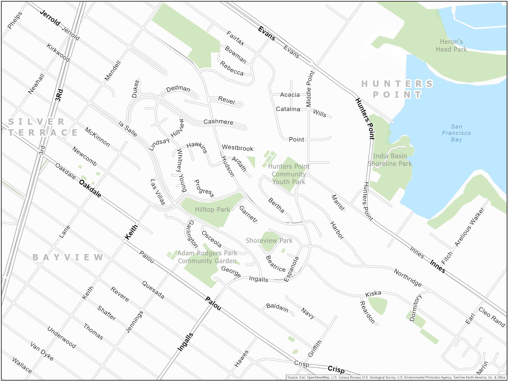
Crime and poverty remain elevated in Bayview-Hunters Point. Visitors and residents should be cautious of this area especially at night. I especially don’t recommend going for a casual stroll here.
Western Addition
Most of the Western Addition is safe. However, this neighborhood is encountering higher crime rates. This includes property crime and drug-related offenses.
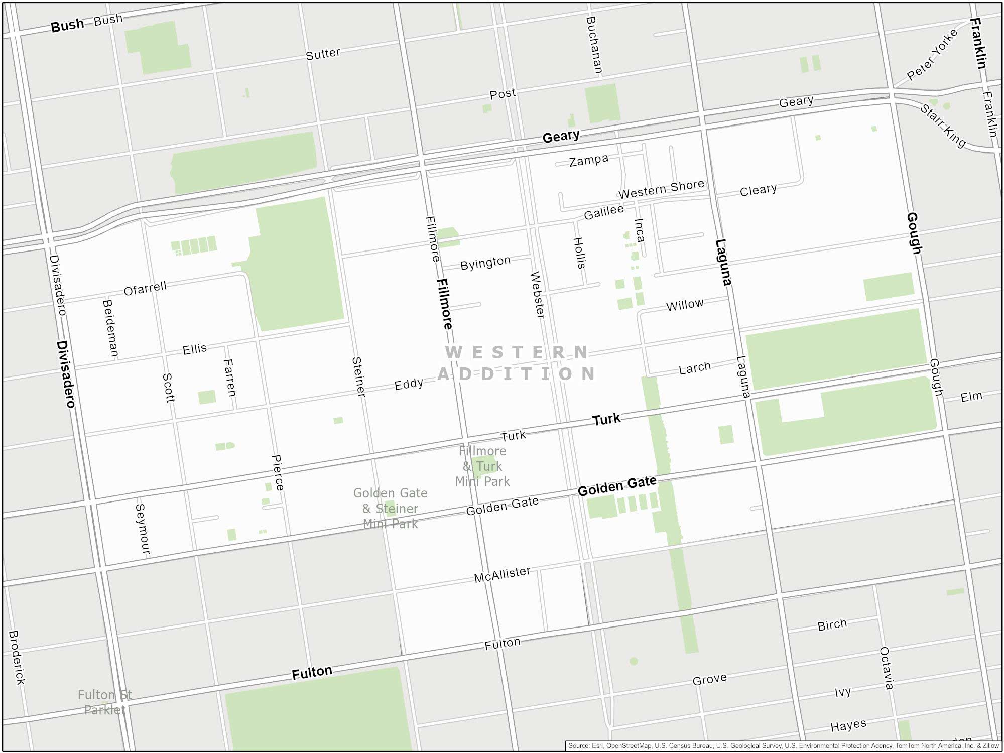
Homelessness has increased specifically on Fillmore and Geary (north section of the neighborhood). Some areas historically facing challenges related to safety.
Mission District
While it’s a popular spot for tourists, the Mission District has faced crime issues. For instance, there has been increased reports of property crime, assault, and gang-related activities.
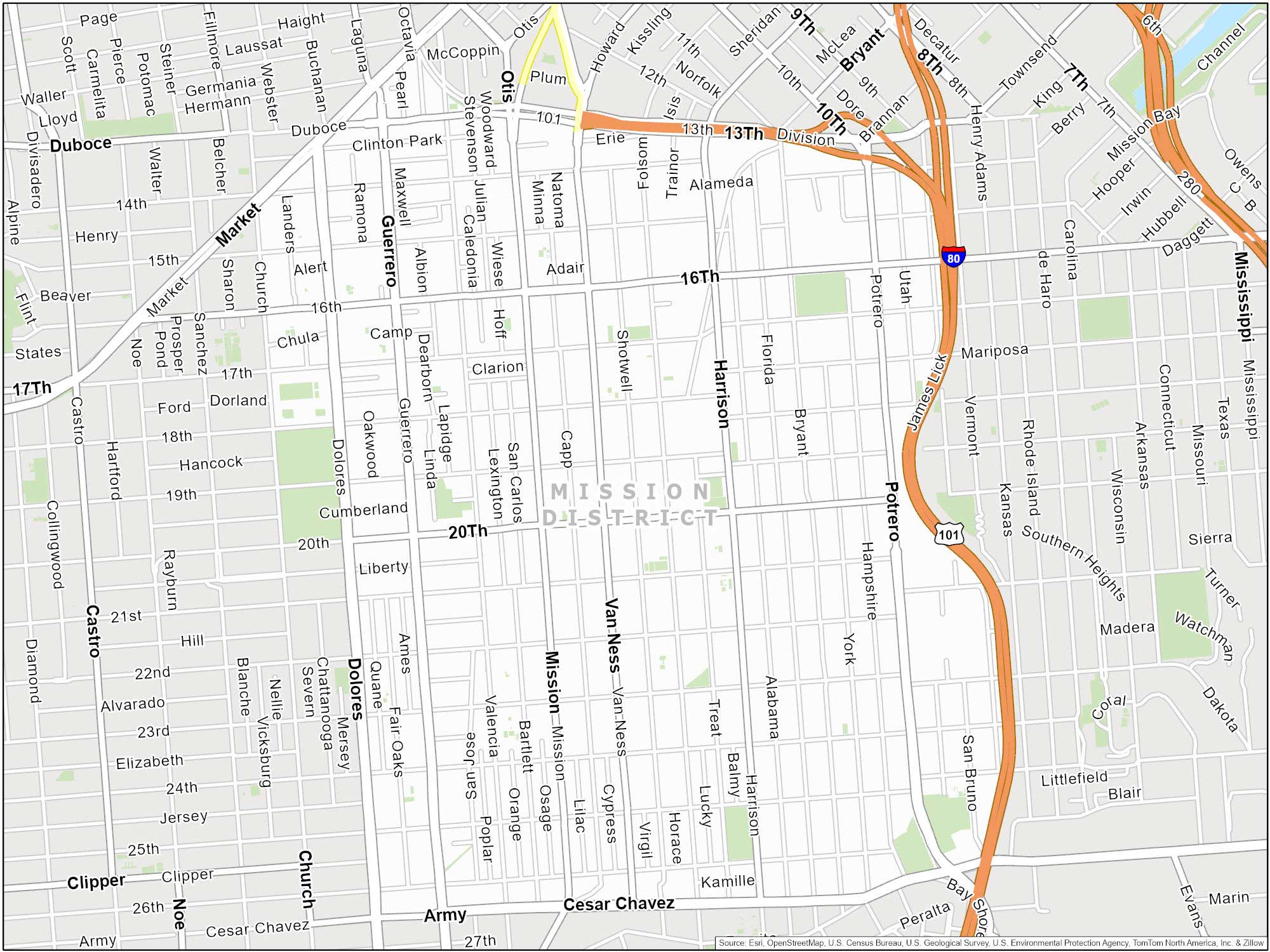
Keep in mind that the Mission District is a large neighborhood. So, this means that most are isolated in certain parts of the neighborhood. Especially, to the south of 24th Street, which is considered “Outer Mission”.
South of Market (SoMa)
During the day, South of Market (SoMa) is a very safe neighborhoods. It’s actually a popular tourist destination with sites like the San Francisco Museum of Modern Art and Oracle Park to the east.
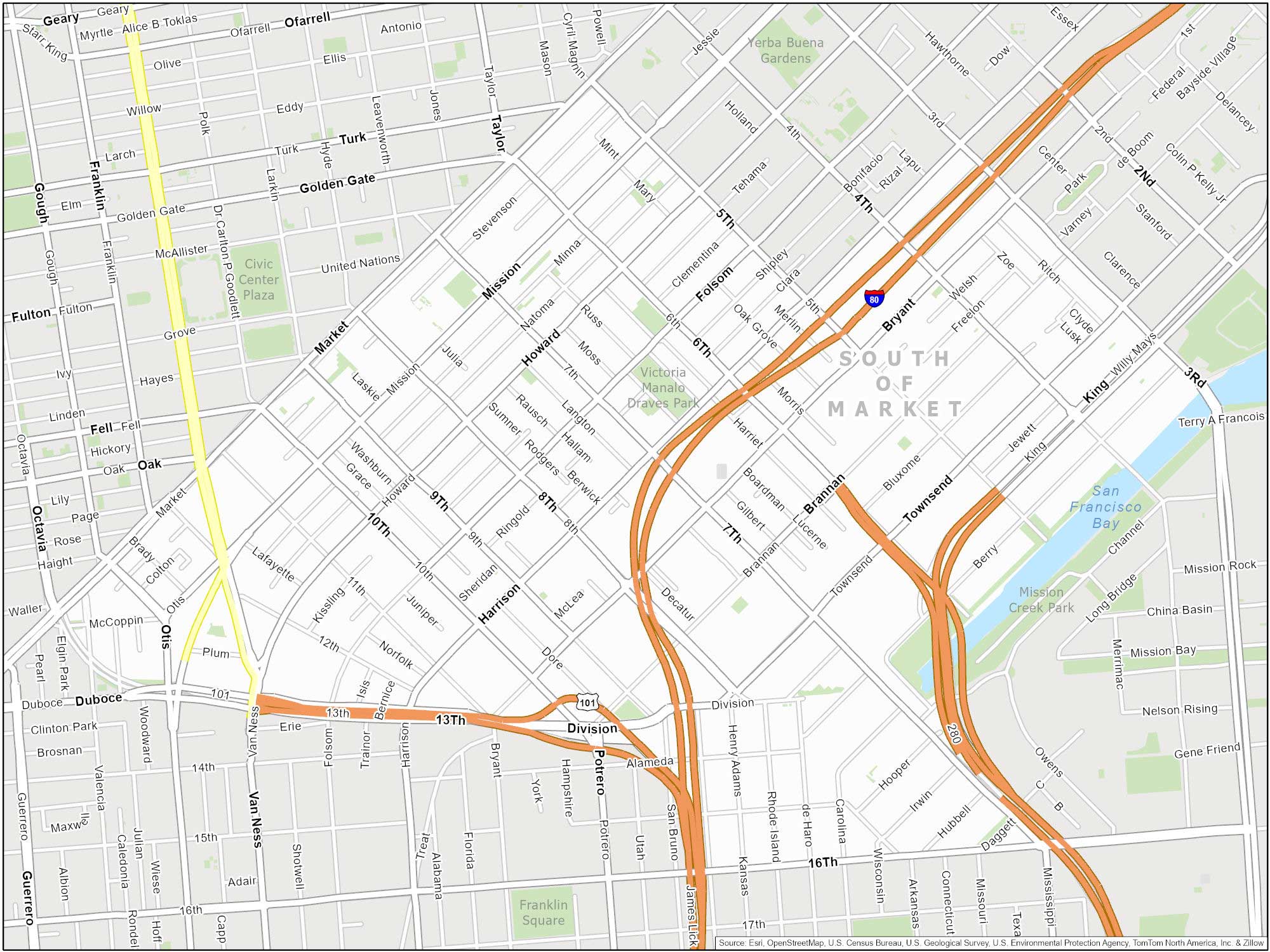
I am not going to tell you to avoid this area. But SoMa has dealt with higher incidents of theft, due to its mix of commercial and residential areas. Although homelessness is growing in this neighborhood, it has a mixed reputation when it comes to safety.
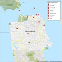
Dangerous Neighborhoods in San Francisco
Become more safety aware and learn about areas of high crime in San Francisco. You’ll also find crime trends and hotspots.
| Neighborhood | Description |
|---|---|
| Tenderloin District | Higher crime rates and homelessness. |
| Bayview-Hunters Point | Has experienced higher rates of violent crime. |
| Western Addition | Property crime and drug-related offenses |
| Outer Mission District | Has experienced crime, but there are also safer sections. |
| South of Market (SoMa) | Mostly safe during the day with a mixed reputation of safety (especially theft) |
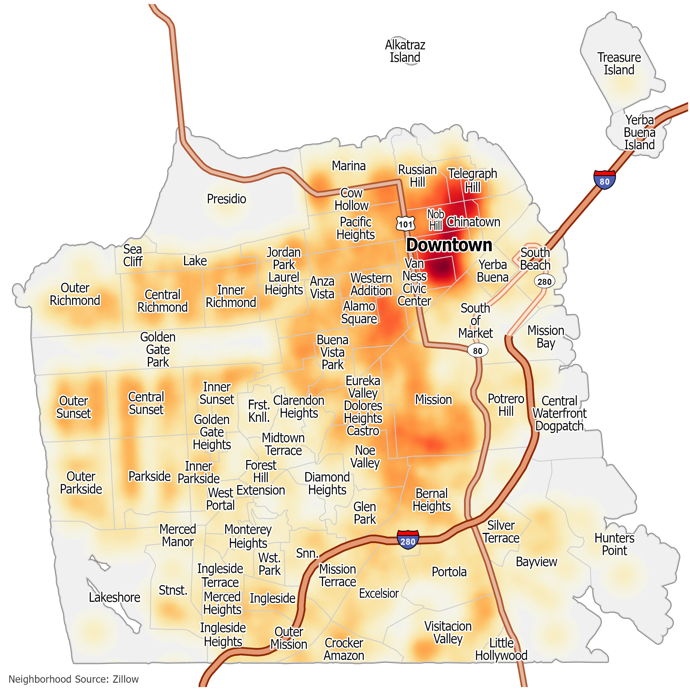
San Francisco Crime Map
Click on the image to see our original crime map of San Francisco with neighborhoods and major highways.