XYZ Coordinates – Latitude, Longitude, Elevation
XYZ coordinates represent a point’s location in three-dimensional space. X and Y are its position on the earth’s surface. Z is elevation.
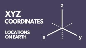
XYZ coordinates represent a point’s location in three-dimensional space. X and Y are its position on the earth’s surface. Z is elevation.
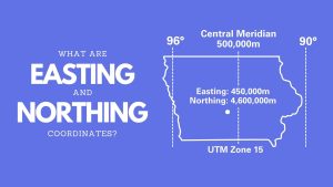
Northing and easting coordinates work together for positioning on maps. They create a grid system on maps, allowing us to pinpoint locations.
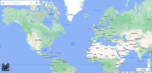
The Web Mercator projection uses a modified version of the Mercator projection and has become a default map projection for web mapping.
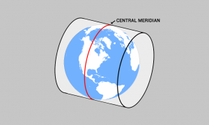
The central meridian is the center line of longitude for projection systems. Projected coordinate systems often use it as a reference point for a x-origin.
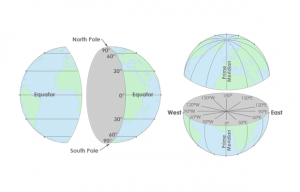
Latitude lines run east-west, are parallel and go from -90 to +90. Longitude lines run north-south, converge at the poles and are from -180 to +180.
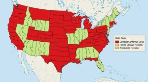
The State Plane Coordinate System divides the United States into 124 zones to locate any point with a high level of accuracy (one part in 10,000).
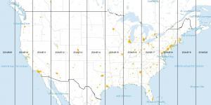
Universal Transverse Mercator (UTM) segments the Earth into 60 zones (each UTM zone is 6°) and projects each zone with an upright cylinder of its own.
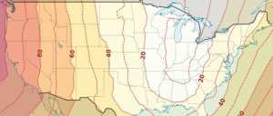
Ellipsoids, survey benchmarks and triangulation – these are the ingredients for geodetic datums. NAD27, NAD83 and WGS84 are common datums in North America.
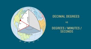
We can find any location on Earth using latitude and longitude coordinates. And we measure those coordinates with decimal degrees or degrees/minutes/seconds

The Greenwich Meridian (or Prime Meridian) is a zero degrees longitudinal It is the start-point which we measure 180 degrees east and west.