What Is the Web Mercator Projection?
Web Mercator Projection
The Web Mercator projection uses a modified version of the Mercator projection and has become a default map projection for web mapping.
The major difference between this projection is that it uses a spherical formula at all scales.
Whereas the Mercator projection uses a vertically-oriented cylinder projection tangent to the equator.
Here are some of the reasons why the Web Mercator projection is becoming the de facto standard for web and online mapping.
Which Web Maps Use Web Mercator?
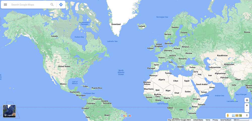
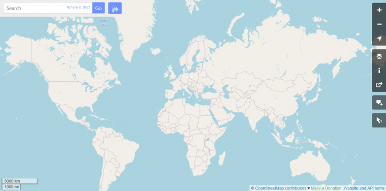
Web Mercator is everywhere. Virtually all major online map providers are using this projection, including Google Maps, CARTO, Mapbox, OpenStreetMap, Esri, and many others.
But why?
Other than the north being oriented upwards, Web Mercator is well-suited for interactive display in a web map.
Although there is obvious distortion in the polar regions at high latitudes, it has little distortion for local area viewing.
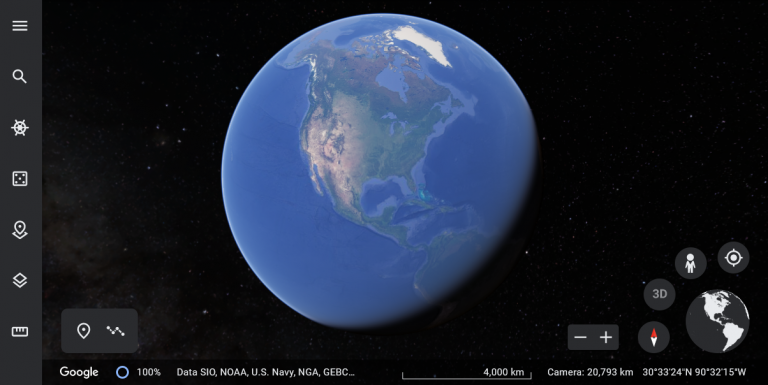
However, Google Maps and Google Earth now have a “global” projection, instead of using Web Mercator at small scales which resembles the true shape of the Earth.
Why Use Web Mercator?
The main reason is that the Mercator projection preserves direction. No matter where you are in the world using this projection, directions are true.
From a user standpoint, this is incredibly useful to know that north is up. Although areas get distorted, it’s distorted fairly evenly throughout. Plus, it does not preserve shape or local angles (not conformal).
As you move away from the equator, distortion increases. Similar to the Mercator projection, areas stretch out towards the poles. This means you should not use this projection to display the poles.
Due to the apparent distortions, the Web Mercator projection is also not appropriate for any spatial analysis or area calculations.
READ MORE: 50 Map Projections Types: A Visual Reference Guide
EPSG Identifier
The EPSG identifier for the Web Mercator projection is EPSG:3857. But EPSG:4326 and EPSG:900913 also refer to this projection as well.
What’s Next?
The Web Mercator projection is a variant of Mercator, “Mercator Auxiliary Sphere”.
Although it distorts areas in the polar regions, it’s become the de facto standard for web mapping of any type and is useful for large-scale (local) maps on the internet.
Despite its many advantages, this projection is not appropriate for any type of spatial analysis or area calculations
Most major online web maps use this type of map projection including Google, OpenStreetMap, and Mapbox.


EPSG is standard WGS84 and completely different from web Mercator and is in degrees rather than meters