Blank Map of Europe with Country Outlines
Our blank map of Europe and country outlines are free to use. Download them today and use them for commercial or educational needs.
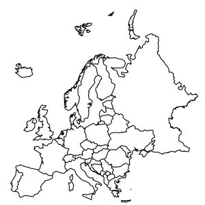
Our blank map of Europe and country outlines are free to use. Download them today and use them for commercial or educational needs.
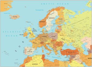
Download our high resolution map of Europe for any purpose. It features countries, capitals, major cities, highways, and more.
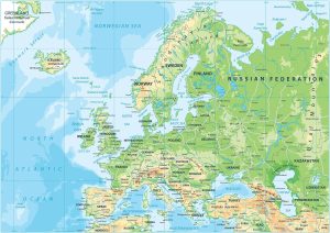
Europe is a mix of types of terrain. This Europe physical map displays its major mountain chains such as the Alps, Pyrenees, & Carpathians.
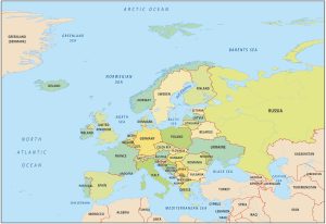
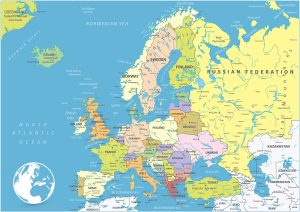
This Europe country map will help you learn more about the continent’s geography with country boundaries and labels within the continent.
A Europe Map featuring countries and labels. It includes western, northern, southern, and eastern Europe with outlines for each country.