The Geospatial Industry: Past, Present and Future
The geospatial industry is all about maps and location. It helps us know where things are and where to go. Learn all about it today.
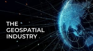
The geospatial industry is all about maps and location. It helps us know where things are and where to go. Learn all about it today.
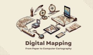
We used to draw maps by hand on paper. Now, we use digital mapping to make maps. Some call this process “computer cartography”.
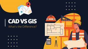
CAD (Computer-Aided Design) and GIS (Geographic Information Systems) are software tools used to create digital models of the physical world.
Many people think “geospatial” and “GIS” are interchangeable, but there’s actually a bit of nuance between them. Learn their differences.
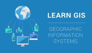
If you want to learn GIS, this is your guide to Geographic Information Systems. It covers analysis, cartography, remote sensing and software.

Spatial analysis solves location problems using math in maps. It blends geography with modern technology to better understand our world.
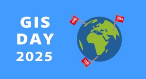
Are you excited about GIS Day? People from around the world celebrate GIS Day. In 2025, it’s scheduled for Wednesday, November 19, 2025.

While Geographic Information Systems answers “what” and “where”, Geographic Information Science (GIScience) is concerned with the “how” and its development.

From A to Z, we deliver stunning visualizations and meanings with the GIS Dictionary – Definition Glossary. Sharpen your skills with new GIS terminology.

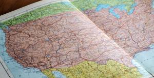
Maps help us get to places. They help us make decisions. Maps have changed how we think about location. But where did it begin? We study the history of GIS.