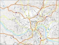
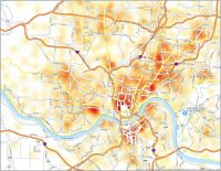
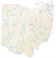
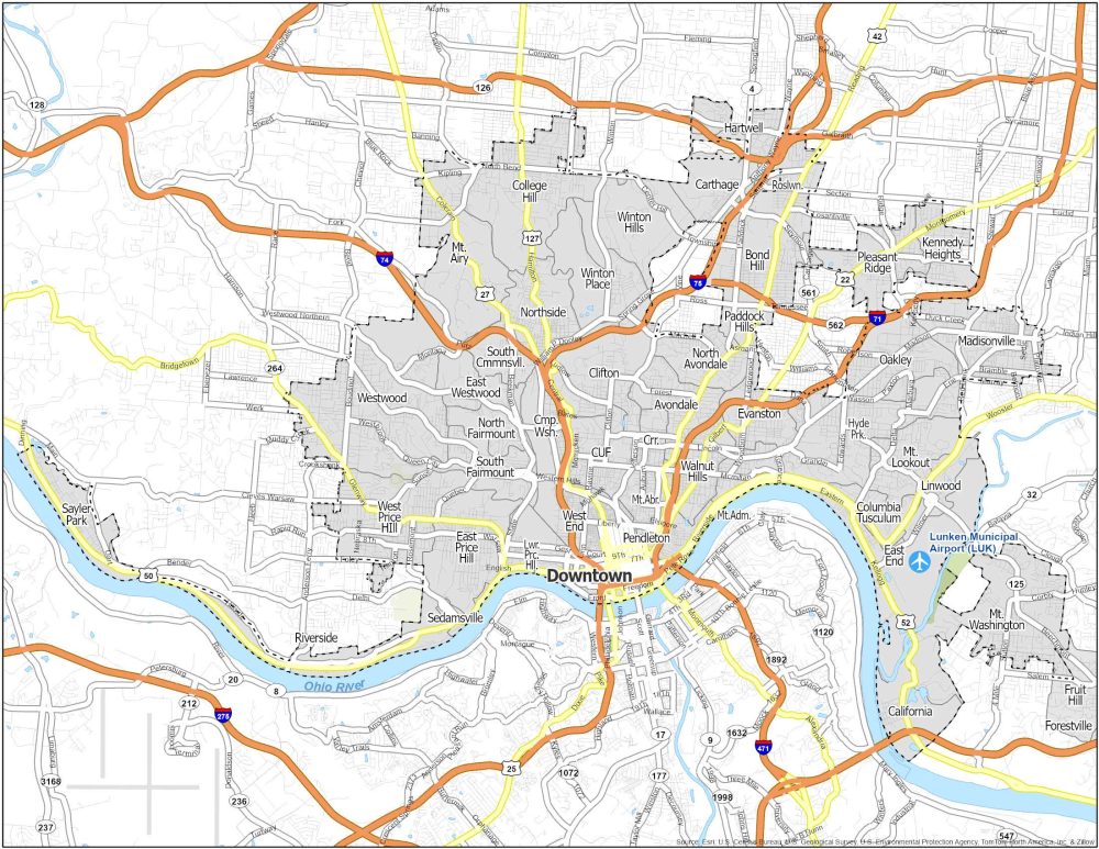
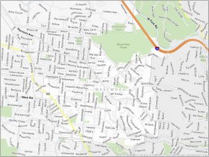
Cincinnati Neighborhood Map
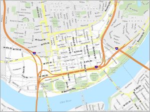

Downtown Cincinnati
Downtown Cincinnati is situated along the Ohio River and is the economic hub of the city. Downtown extends to I-71 and I-75 to the west. Fountain Square is the central gathering place for downtown with year-round events and ice skating in the winter. The square’s centerpiece is the Tyler Davidson Fountain.
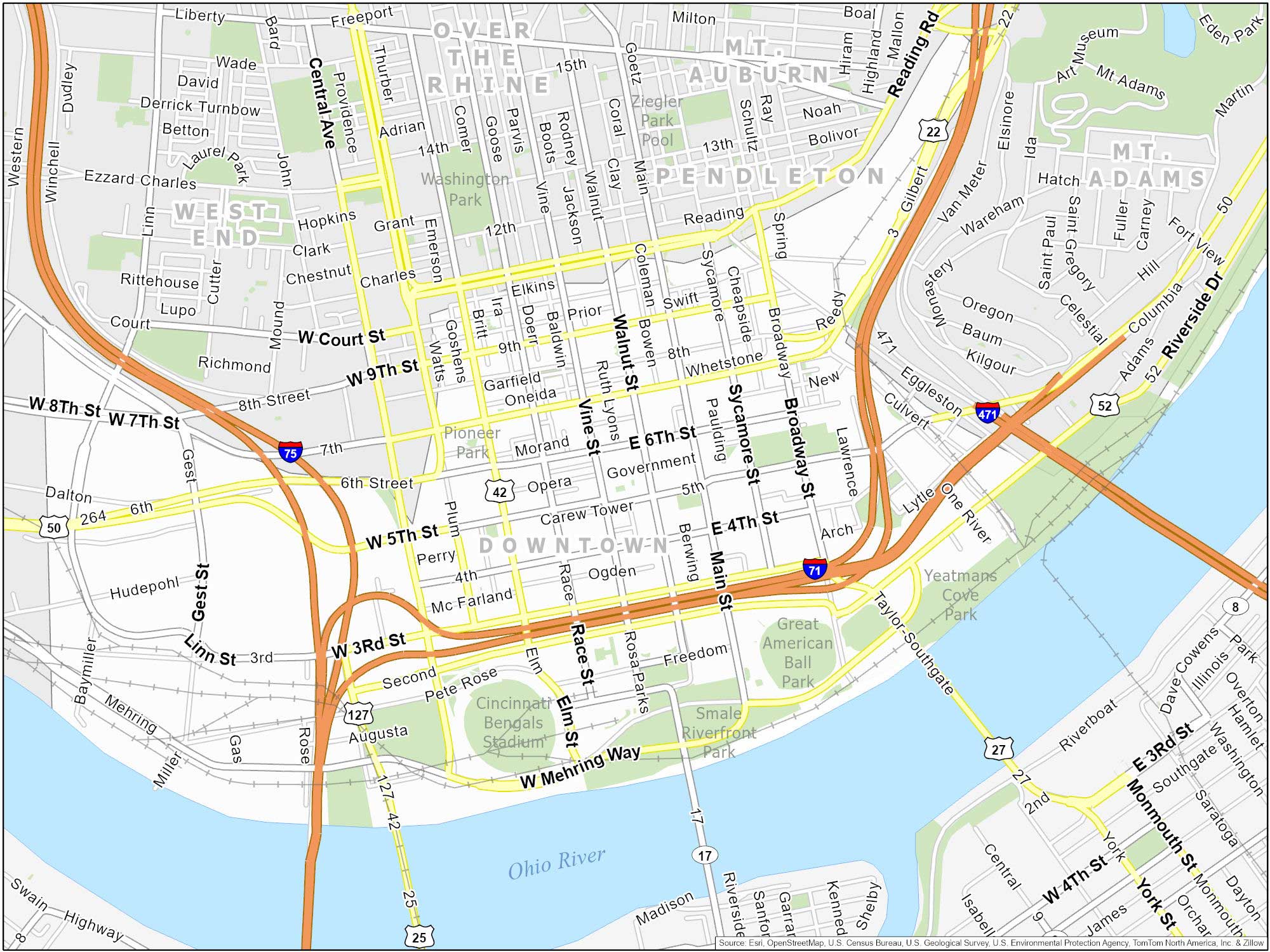
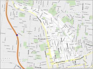
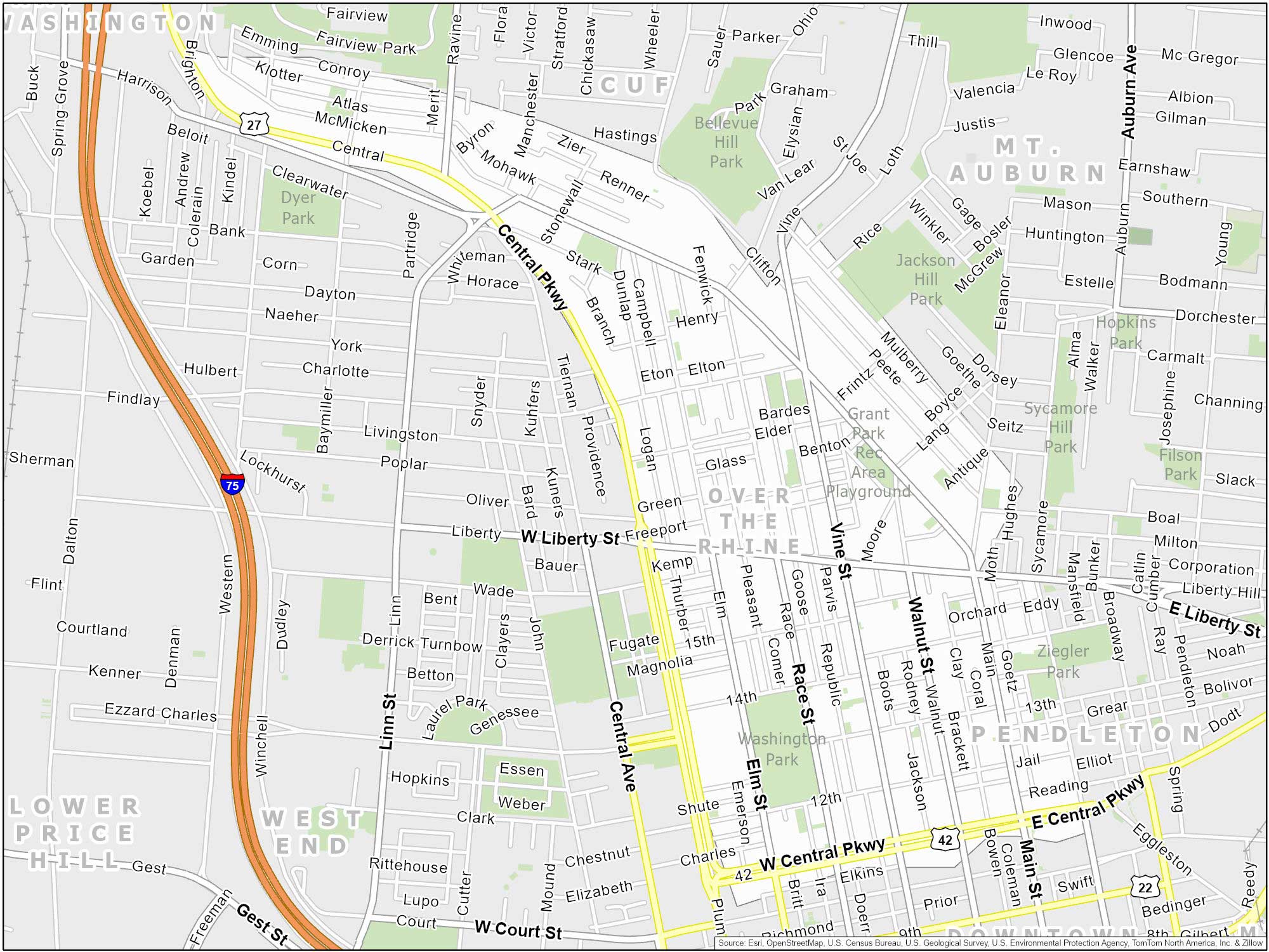
Over-the-Rhine
Over-the-Rhine is located north of downtown. Its name has German roots based on similarities to the “Rhine River” in Germany. OTR roughly borders Central Parkway to the south and Liberty Street to the north. This neighborhood also hosts the popular Findlay Market. This public market has fresh produce and local food.
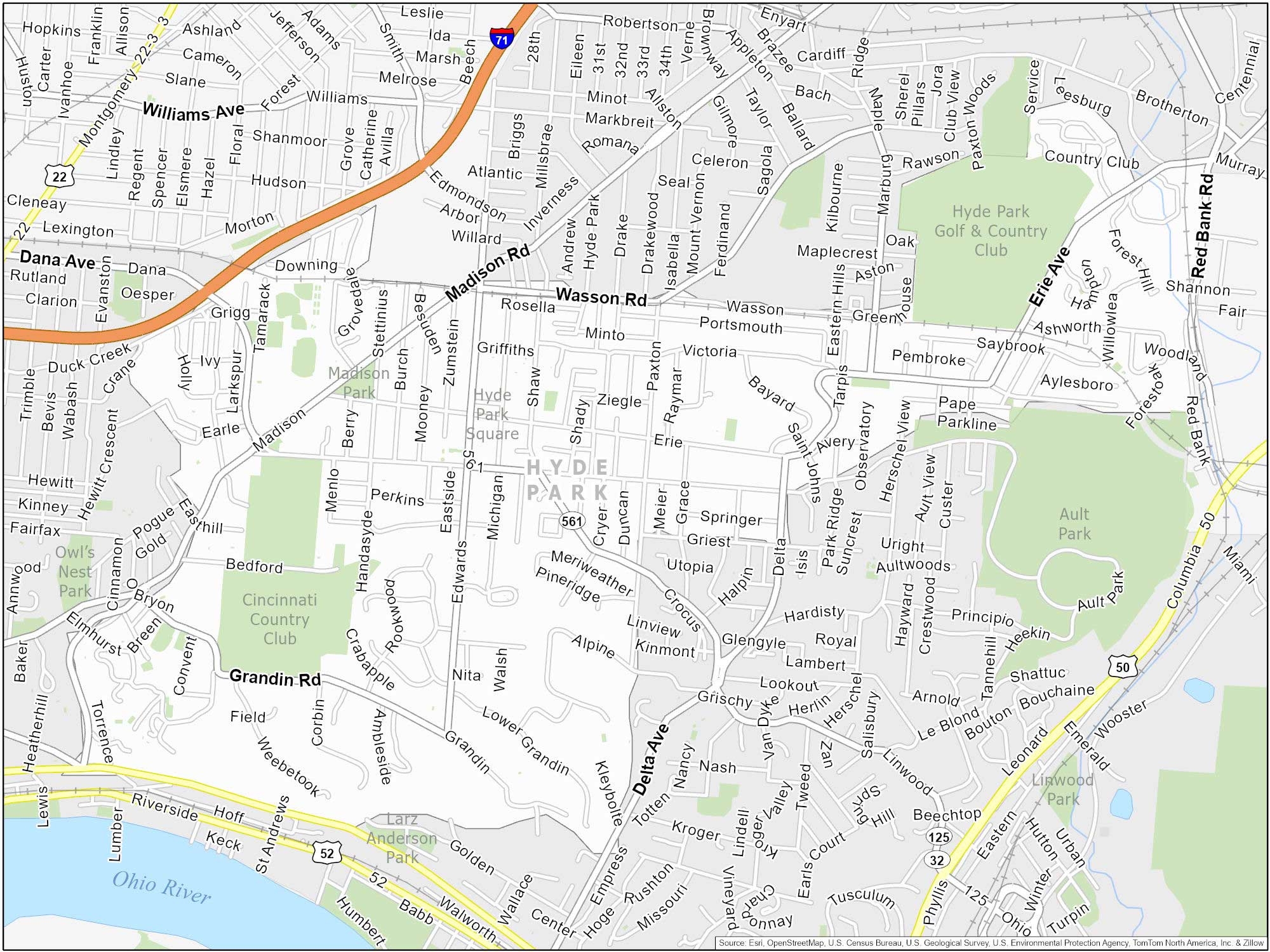
Hyde Park
This neighborhood is an affluent neighborhood. It’s located a few miles east of downtown Cincinnati. Hyde Park Square is the heart of the neighborhood. It has a cozy park-like setting with outdoor seating and cafes. An interesting fact is that Hyde Park Square is over 100 years old.
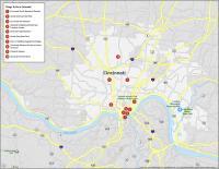
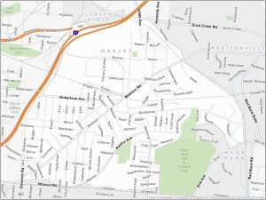
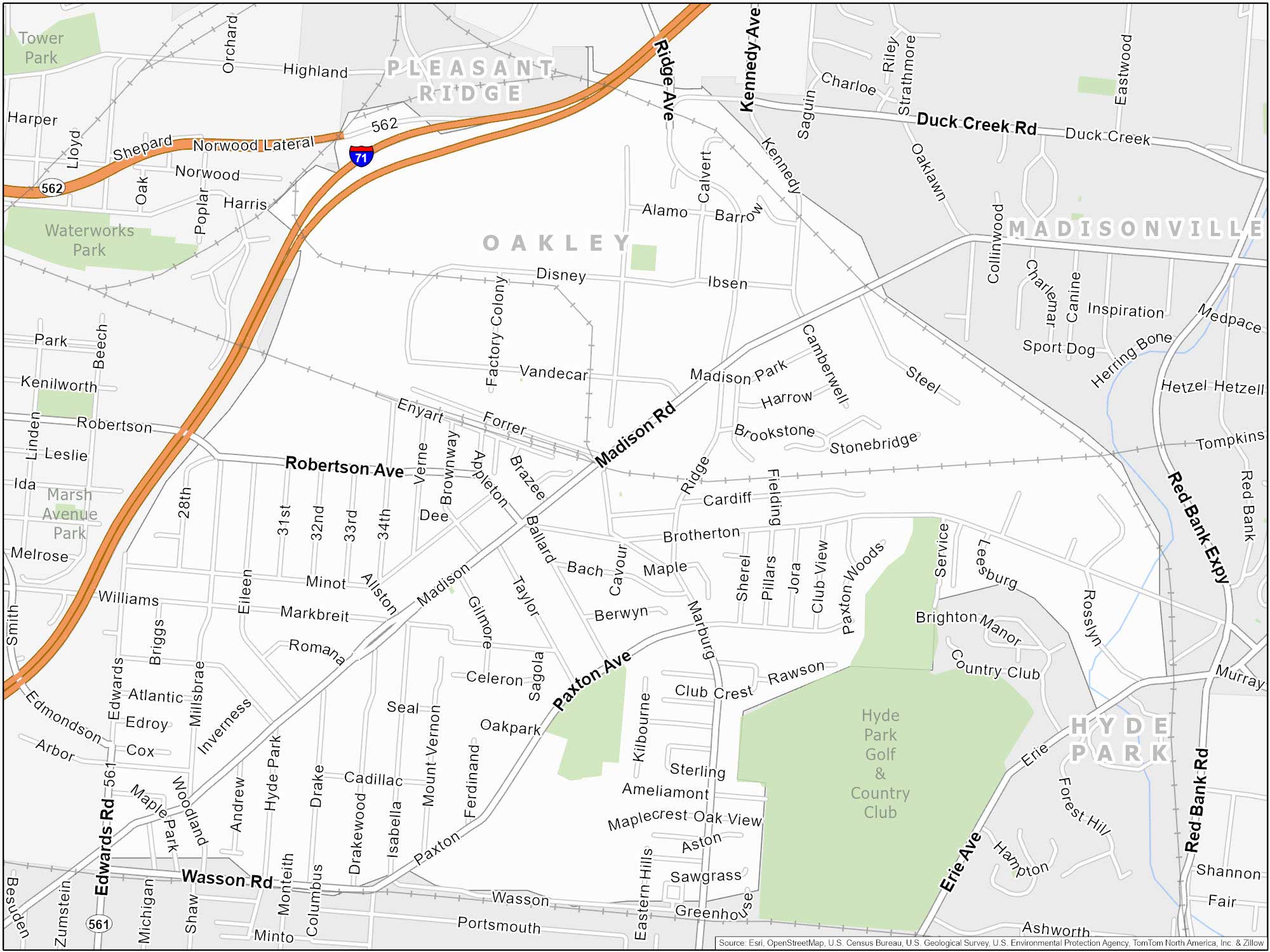
Oakley Map
You can find Oakley a few miles northeast of downtown Cincinnati. It’s a welcoming community with Oakley Square being a focal point. It hosts community events like an annual event called “Oakley After Hours”. While nearby Hyde Park Plaza provides shopping options, it also has live music and a farmers market.
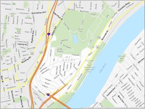
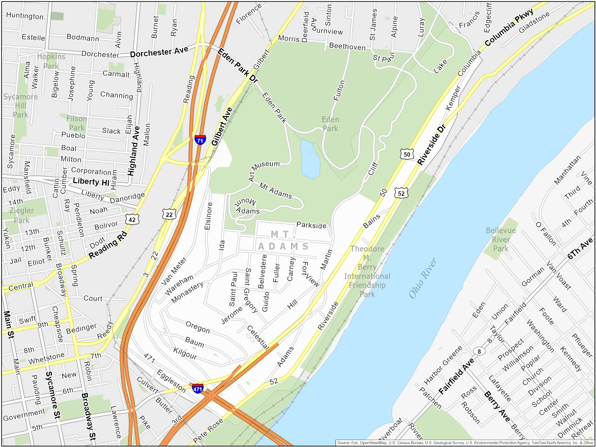
Mount Adams
Mount Adams is perched on a hill overlooking the city. This area of the city provides views of the Cincinnati skyline and the Ohio River. The Cincinnati Art Museum and Playhouse in the Park contribute to its cultural appeal.
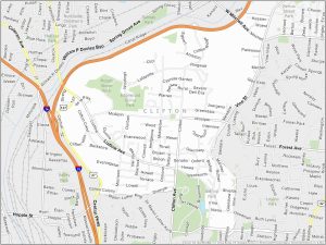
Clifton
Clifton is a neighborhood situated near the University of Cincinnati. Clifton features the historic Ludlow Avenue and is home to the Esquire Theatre. Gaslight District’s streets are still lit by gas lamps, which is a rare sight.

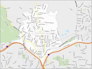
Northside
Northside is situated a few miles northwest of downtown Cincinnati. This area hosts several festivals and community events throughout the year. For example, its annual Fourth of July parade is a popular one.

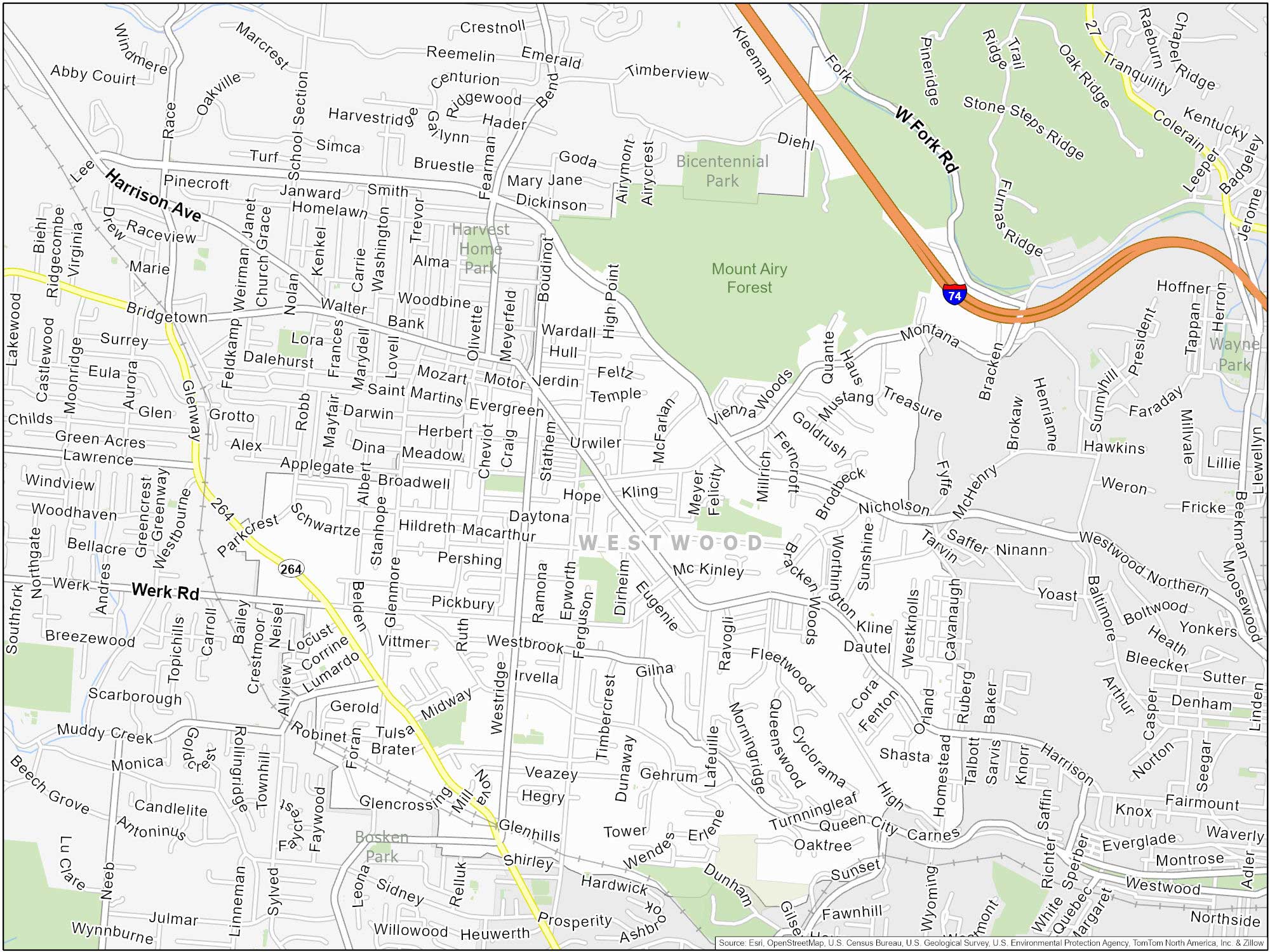
Westwood
Westwood is located on the city’s west side with a commercial district along Harrison Avenue. It contains several parks, including the popular Mount Airy Forest. This one provides ample opportunities for hiking and picnicking. Westwood has historic ties to Cincinnati’s pottery and tile industry.
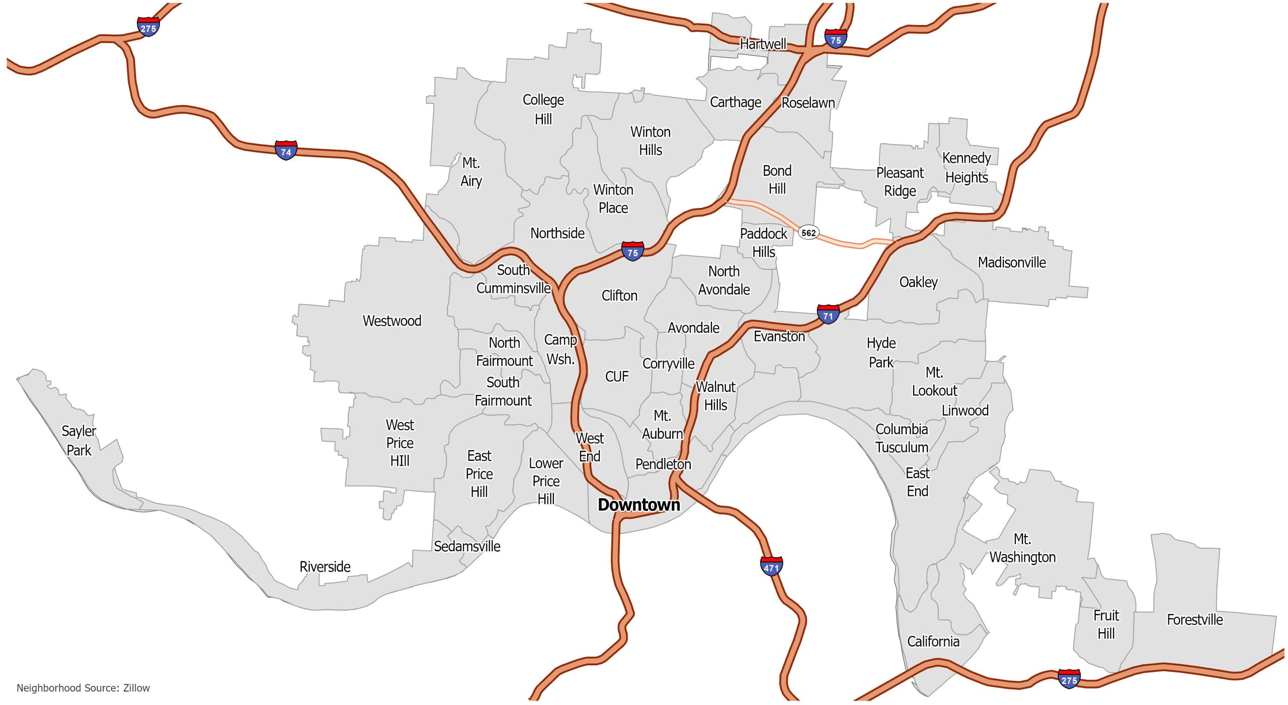
Cincinnati Neighborhood Map
Click on the image to see our original map with neighborhoods in Cincinnati with interstate highways.