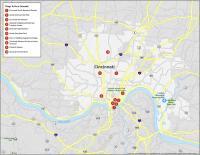
Cincinnati Crime Map
A Map of Crime in Cincinnati
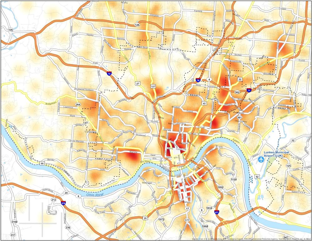
Our crime map of Cincinnati gives an overview of crime hotspots. You’ll see a clear hotspot of crimes in the north of Downtown Cincinnati.
Although crime can happen in any neighborhood, here are some of the most unsafe neighborhoods in Cincinnati.
| Neighborhood | Location | Types of Crimes |
|---|---|---|
| Avondale | Near the University of Cincinnati | Seen an uptick in violent crime and property crimes. |
| West End | West of Downtown, near the river | Incidents of thefts, burglaries, and assaults. |
| Walnut Hills | East of Downtown, residential and commercial mix | Occasional incidents of violence, homicides, and vandalism. |

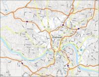
Cincinnati Crime Map
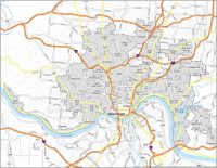
Click on the image to see our original crime map of Cincinnati with interstate highways.