Whatever Happened to Yahoo Maps?
The End of the Yahoo Maps Era
Why did Yahoo discontinue its online mapping platform? At the time of its closure, competition was at the forefront. Google Maps, Bing Maps, and other satellite maps offered more advanced features and up-to-date data.
These competitors not only provided more detailed maps but also integrated additional functionalities. They included street view, real-time traffic updates, and navigation options. All of which, Yahoo Maps lacked.
As Google and Bing optimized their mapping services for smartphones, they were able to gain a large portion of the mobile user base. Yahoo Maps struggled to keep up with these technological advancements. With user expectations high, this led to a decline in its user base.
The evolving digital landscape made it difficult for Yahoo Maps to remain relevant. Maintaining and updating an online mapping service requires significant resources. You also need a continuous investment in data collection.
Yahoo Maps Alternatives
Now, there are multiple players in the market. So, maybe it might have been the right choice for Yahoo to exit the mapping market. Here are some of the top Yahoo Maps alternatives that are available for free today.
1. Google Maps

Google Maps is the most popular mapping service today. This platform offers detailed maps, satellite imagery, street views, and real-time traffic conditions.
When you travel by foot, car, bicycle, or public transportation, Google Maps does the route planning for you.
2. Bing Maps

Microsoft’s answer to Google Maps is Bing Maps. This platform features road, aerial, and street-side imagery.
You also get route planning and live traffic conditions. It also integrates with Microsoft’s search engine for location-based searches.
3. OpenStreetMap
OpenStreetMap is an open project with over 1.5 million collaborators to this date. The goal is to create a free editable map of the world.
OSM provides detailed maps and is particularly strong in areas where commercial maps might lack detail. It’s a great option for those who value open-source solutions.
4. Apple Maps

Available on iOS devices, Apple Maps offers turn-by-turn navigation and public transit information. Apple Maps also has flyover modes for a 3D view of major cities.
It’s deeply integrated with Siri and the Apple ecosystem. If you own an Apple device, this platform is growing every day.
5. Waze
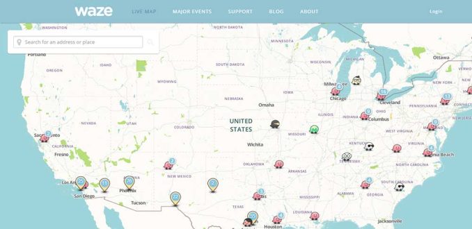
This is geared more towards driving. However, this community-driven map excels in real-time traffic information and alerts about road hazards.
The goal of Waze is to give you optimal routes to avoid congestion. Owned by Google, it’s particularly useful for drivers.
Does Yahoo Maps still exist?
No, Yahoo Maps doesn’t exist.
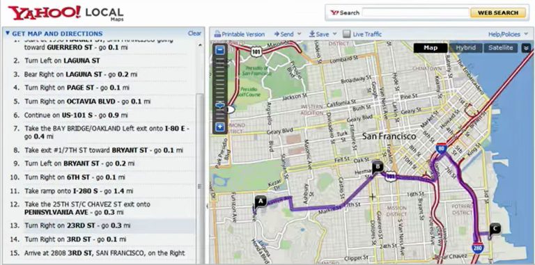
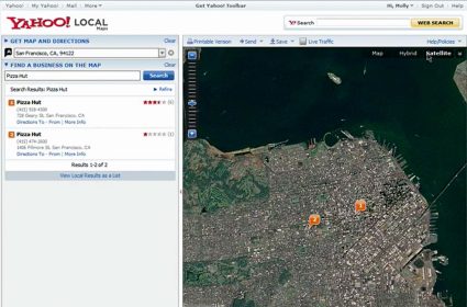
Yahoo Maps was an online mapping service provided by Yahoo. It offered detailed road maps, driving directions, and traffic reports. Yahoo launched it in the early 2000s for navigational help and location information.
Over the years, Yahoo Maps underwent several updates to improve its accuracy and user interface. Despite these efforts, it faced intense competition from Google Maps amongst others. Yahoo Maps struggled to keep pace and this eventually led to its downfall.


Is there a way to get a copy of a particular yahoo map from the past?
I don’t think this is possible, Martha. But you can try out the Internet Archive though