Thermal Infrared Sensor (TIRS) on Landsat

What Does Landsat’s Thermal Infrared Sensor Do?
Landsat’s Thermal Infrared Sensor (TIRS) measures the Earth’s surface temperature. It does this by focusing on the infrared part of the light spectrum, which is invisible to our eyes. Today, let’s learn about Landsat’s TIRS sensor.
How Does TIRS Work?
Everything on Earth, like land, water, and plants, gives off heat. TIRS detects this heat and turns it into imagery bands 10 and 11.

TIRS uses a special sensor called Quantum Well Infrared Photodetectors, or QWIPs. Unlike other types of sensors, QWIPs can detect these thermal wavelengths of light.
The warmer something is, the more infrared light it emits. TIRS captures this thermal energy from Earth and creates a digital image in orbit.
Which Band Is the Thermal Infrared Sensor on Landsat?
Landsat 1 to 3 didn’t include a thermal band. In 1982, this was the first satellite in the Landsat program that included a thermal band. But the resolution was significantly larger at 120 meters pixel size.
Below, you can find a table that displays all of the Landsat satellites equipped with a thermal sensor.
| Mission | Thermal Band(s) | Wavelength (μm) |
|---|---|---|
| Landsat-4 | Band 6 | 10.40-12.50 |
| Landsat-5 | Band 6 | 10.40-12.50 |
| Landsat-7 | Band 6 | 10.40-12.50 |
| Landsat-8 | Band 10, Band 11 | 10.60-11.19 (Band 10), 11.50-12.51 (Band 11) |
| Landsat-9 | Band 10, Band 11 | 10.60-11.19 (Band 10), 11.50-12.51 (Band 11) |
Landsat added TIRS-1 and TIRS-2 for more accurate measurements of the Earth’s surface temperature.
Uses and Applications of Thermal Infrared Sensor
The Thermal Infrared Sensor (TIRS) has a wide range of uses and applications:

- Permafrost Monitoring: TIRS monitoring permafrost, helping predict potential releases of methane.
- Active Volcanoes: By observing the heat patterns of active volcanoes, TIRS allows scientists to predict eruptions.
- Agriculture: Farmers use data from TIRS to manage irrigation and detect plant stress to protect crops.
- Climate Change: TIRS can track temperature changes on Earth’s surface and better understand global warming trends.
- Water Resources: The sensor is essential for managing water usage, identifying overuse, and planning for water conservation in arid regions.
By understanding surface temperature, TIRS provides us with strategies for detecting hazards and managing water resources.
Does Sentinel-2 Have a Thermal Infrared Sensor?
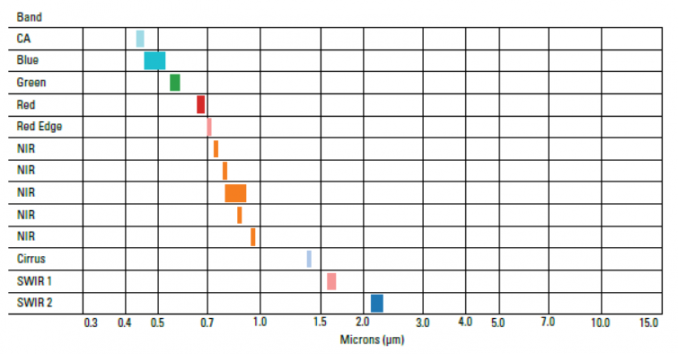
Unfortunately, Sentinel-2 does not have a Thermal Infrared Sensor. Instead, it’s equipped with multispectral instruments. It can capture images in visible, near-infrared, and shortwave infrared light.
For thermal infrared imaging, satellites like Landsat 8 use TIRS. Also, Terra is equipped with the Advanced Spaceborne Thermal Emission and Reflection Radiometer (ASTER) at 90m resolution.
Thermal Infrared Sensor (TIRS) on Landsat
Landsat’s Thermal Infrared Sensor (TIRS) helps us see Earth’s heat from space. Because of this, we can better understand our climate, help farmers, and protect water.
Want to see the TIRS in action? Try out the Landsat Explorer. In the bottom-right, select “surface temperature” and pan to your area of interest.
Have you ever used the thermal infrared band for remote sensing analysis? We’d love to hear from you. Please add your questions and comments below.


