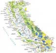
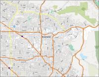
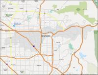
Anaheim Map, California
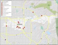
10 Things To Do in Anaheim
Anaheim is home to one of the most famous theme parks in the world – Disneyland! This is why it’s one of America’s most popular tourist destinations. Other landmarks are Downtown Disney, the Angel Stadium of Anaheim (and Ducks), and Knotts Berry Farm.
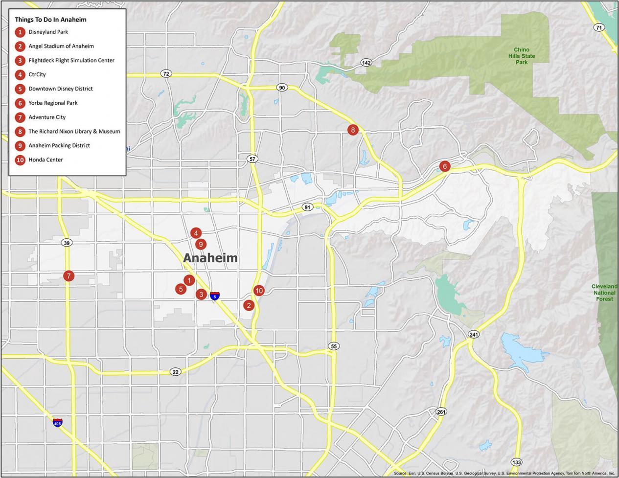
We love Anaheim as a top destination to travel to in California (if not all of the United States). If you plan to visit, here are recommended sites to visit:
2. Angel Stadium of Anaheim
3. Flightdeck Flight Simulation Center
4. CtrCity
5. Downtown Disney District
6. Yorba Regional Park
7. Adventure City
8. The Richard Nixon Library & Museum
9. Anaheim Packing District
10. Honda Center
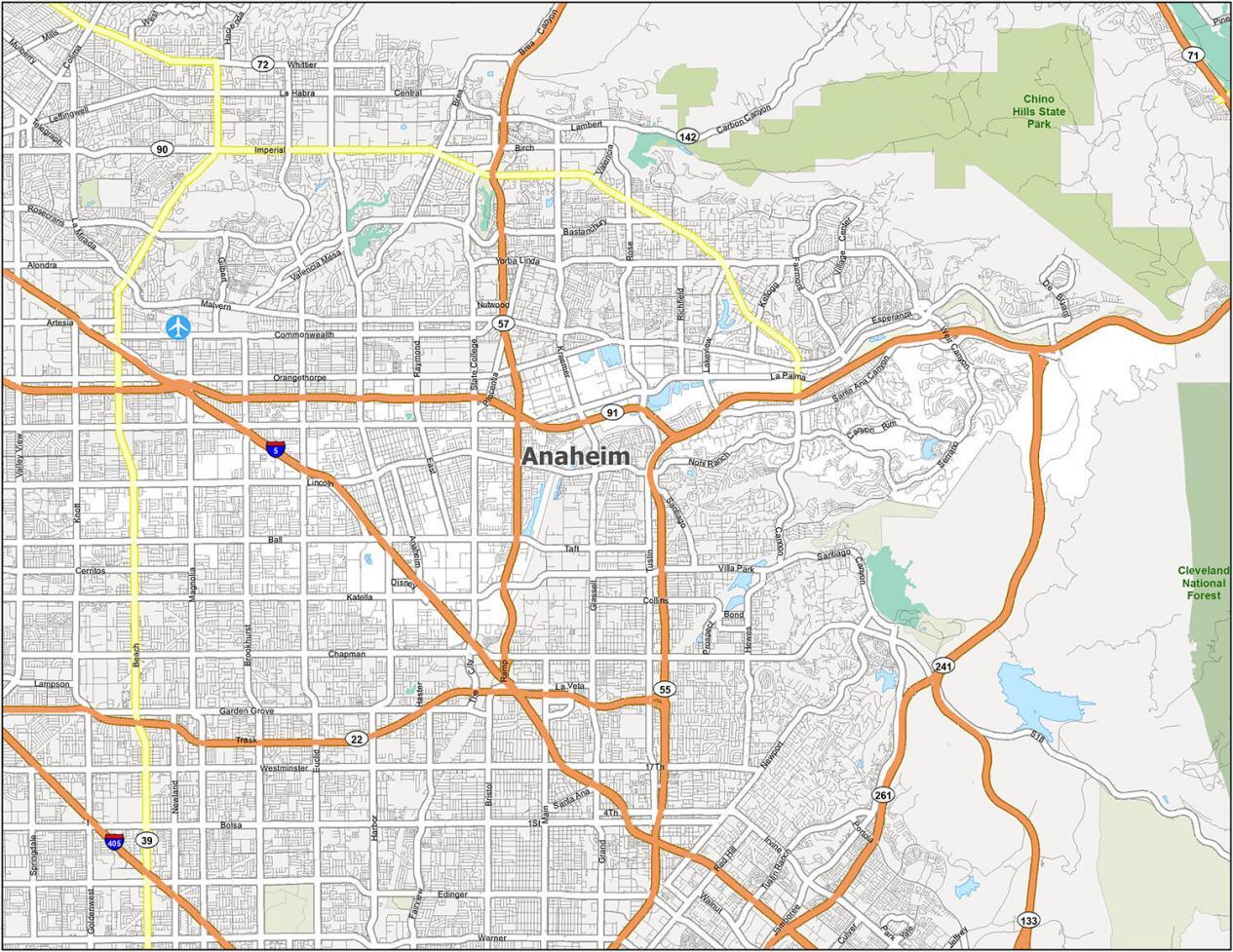
Anaheim California Map
When visiting Anaheim, there are other things to do than Disneyland. You can explore the food haven Anaheim Packing District. Or, try enjoying nature at Yorba Regional Park. Explore the city with this basic reference map. It’s also great to mark up with your own notes.
Census Designated Place (CDP): East Whittier, Midway City, North Tustin, Rowland Heights, South Whittier
City: Anaheim, Brea, Buena Park, Cerritos, Chino, Chino Hills, Corona, Cypress, Fountain Valley, Fullerton, Garden Grove, Huntington Beach, Irvine, La Habra, La Habra Heights, La Mirada, La Palma, Los Alamitos, Orange, Placentia, Santa Ana, Santa Fe Springs, Stanton, Tustin, Villa Park, Westminster, Whittier, Yorba Linda
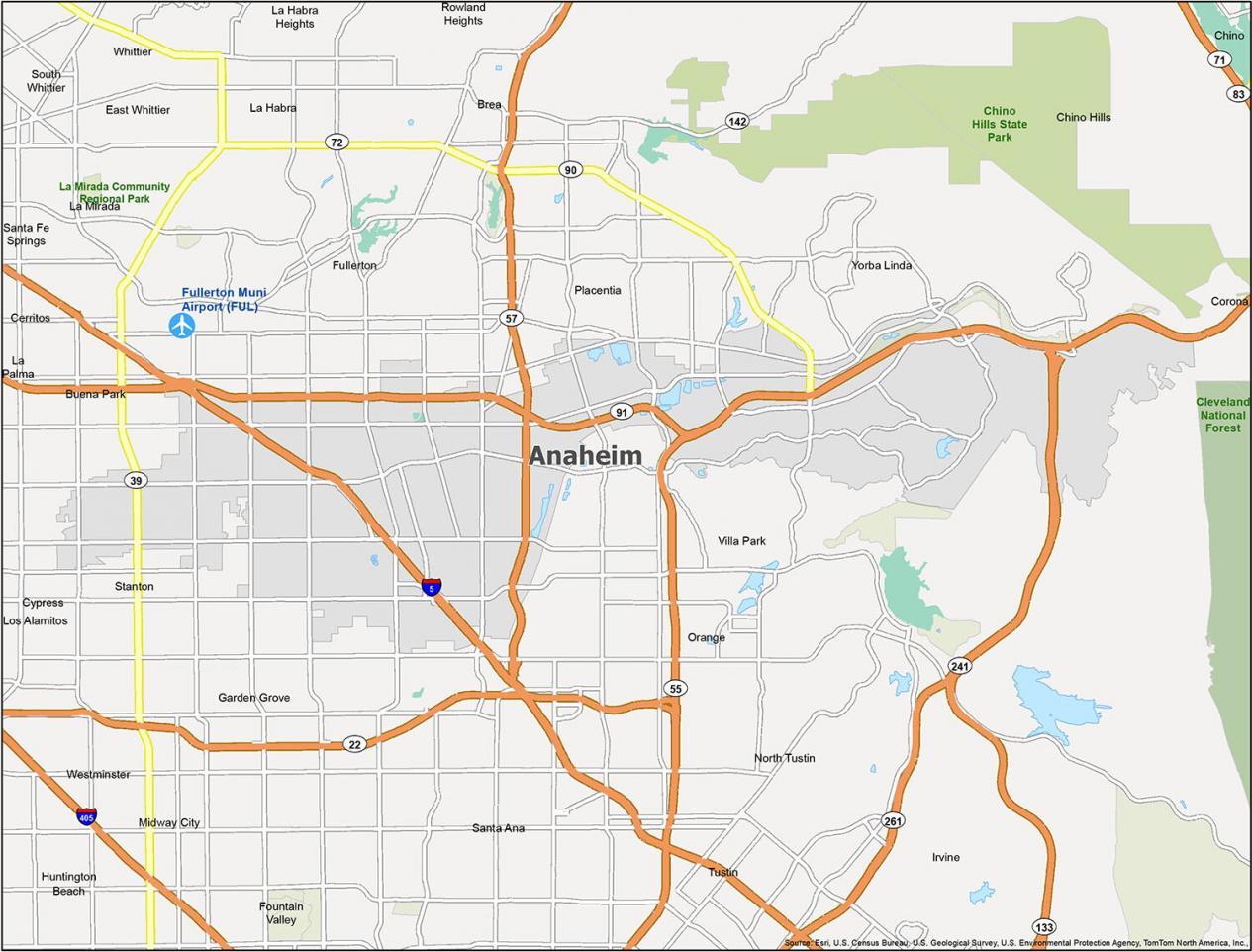
Anaheim Highways and Roads
Anaheim borders the City of Fullerton to the north and Santa Ana to the south. To its east are the Sierra Nevada mountains. This is where you can take part in outdoor activities like camping, hiking, and even snowshoeing. Make this your go-to road guide, along with our California road map.

Interstate Highways: 5
State Highways: 22, 39, 55, 57, 72, 91, 241
Major Roads: Anaheim Blvd, Beach Blvd, Brookhurst St, Chapman Ave, Disney Way, Euclid St, Harbor Blvd, Haster St, Imperial Hwy, Katella Ave, La Palma Ave, Lincoln Ave, Manchester Ave, Orangethorpe Ave, Tustin Ave
Roads: Ball Rd, Canyon Rim Rd, Cerritos Ave, Chapman Ave, Disneyland Dr, East St, Fairmont Blvd, Glassell St, Gypsum Canyon Rd, Knott St, Kraemer Blvd, La Palma Ave, Lakeview Ave, Magnolia Ave, Manchester Ave, Nohl Ranch Rd, Orangethorpe Ave, Placentia Ave, Raymond Ave, Richfield Rd, Santa Ana Canyon Rd, Serrano Ave, State College Blvd, Weir Canyon Blvd, Yorba Linda Blvd
Anaheim is the largest city in Orange County, California. It is located near the Pacific coast of Southern California, about 30 miles south of downtown Los Angeles. It has a total population of over 350,000 people. This makes it the 10th most populated city in California.