AutoCAD Map 3D by Autodesk: GIS and CAD Fusion
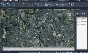
AutoCAD Map 3D has the same look and feel as Autodesk. By linking CAD and GIS, it bridges the gap between design and geographic locations.
AutoCAD Map 3D has the same look and feel as Autodesk. By linking CAD and GIS, it bridges the gap between design and geographic locations.

So many college GIS certificate programs to choose in Canada, eh? You can’t discount going to a college to earn your very own college GIS diploma.
Unless you’re a data editing jedi, your GIS data may unknowingly have errors like gaps and overlaps. What to do? Fix errors using topology tools in ArcGIS
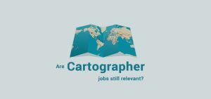
We give you a job profile of the modern cartographer. Cartographers specialize in graphic design, color history and often Geographic Information Systems
The world of geoscientists can experiment with the free SAGA GIS. It’s a clear winner in 3D rendering, terrain analysis, and geostatistics.
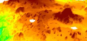
SAGA GIS has a quick and dirty tool to fill NoData holes with raster data. We show you how to close gaps in DEMs or any raster data with holes in it.

It’s all about predicting risk in the insurance industry. Insurance technology like GIS and mapping can better manage risk with its location intelligence.
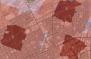
The ArcGIS Network Analyst Service Area analysis tool is perfect finding out just how far your cities firefighters, ambulance or paramedics can service.
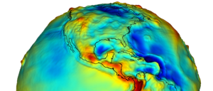
A vertical datum is a reference surface of zero elevation to which heights are referred to. Datums are used to measure height and depth from mean sea level.
The role of GIS technician seems to indicate a lot of digitization, putting together maps, collecting data, and basic maintenance of data.