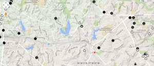
33 Map Elements to Include in Cartographic Design
This guide is like your compass – these 33 mapping tips will guide you in the right direction and show you how to create stunning cartographic maps.

This guide is like your compass – these 33 mapping tips will guide you in the right direction and show you how to create stunning cartographic maps.

Maps help us get to places. They help us make decisions. Maps have changed how we think about location. But where did it begin? We study the history of GIS.
North American Datum of 1983 (NAD83) is 2-meters from geocentric and uses thousands of monuments with triangulation to create a reference frame for Earth
Deploying efficient raster GIS compression techniques means reducing storage space. It can save money, time and also help network performance.
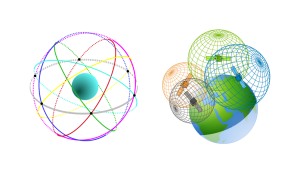
The World Geodetic System 1984 (WGS84) is a spatial reference system of GPS satellites with an error of less than 2 cm to the center of Earth.

So you want to geoprocess like a GIS guru, do you? From clipping to buffering, you will learn the basic GIS processing tools along with uses & applications
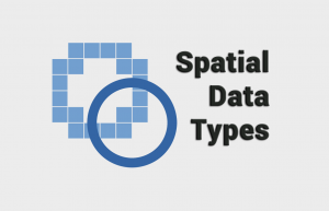
The main spatial data types are vectors and rasters. Rasters have grid cells while vectors are points , lines and polygons consisting of vertices & paths.
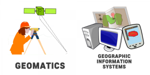
In the world of geography, two disciplines are often mistaken as the same one. But Geomatics and Geographic Information Systems are different.
The agile Pleiades satellite constellation is comprised of Pleiades 1A and 1B. They offer dynamic image acquisition at 50cm panchromatic & 2m multispectral.
SPOT-1 (Satellite Pour l’Observation de la Terre) was a French commercial satellite launched in 1986 initiated by the French Space Agency (CNES).