Los Angeles Neighborhood Map
From the glitz and glamor of Beverly Hills to the beach spirit of Venice Beach, you can find it all on this Los Angeles neighborhood map.
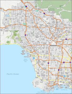
From the glitz and glamor of Beverly Hills to the beach spirit of Venice Beach, you can find it all on this Los Angeles neighborhood map.
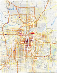
This Kansas City crime map is your visual guide to understanding the city’s crime landscape, including historical trends of crime incidents.
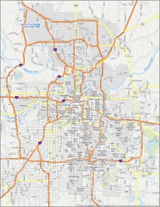
This Kansas City neighborhood map is your guide to exploring the diverse districts of KC, where the heart of the Midwest beats with culture.
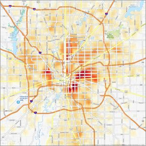
This Indianapolis crime map is a tool for keeping an eye on crime. We provide you with a heat map that distinguishes crime activity.
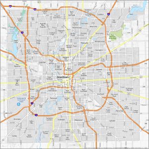
From the historic landmarks of Lockerbie Square to the cultural appeal of Fountain Square, learn with our Indianapolis neighborhood map.
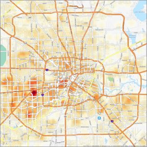
Get the lowdown on safe and dangerous neighborhoods in Houston by finding cold and hot spots of crime in our Houston crime map.
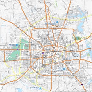
In this Houston neighborhood map, we’ll guide you through the diverse districts of this sprawling metropolis like Montrose and Downtown.
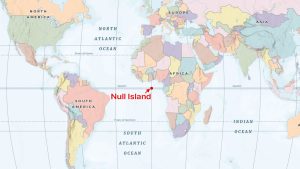
Null Island is an inside joke in the world of GIS. It’s actually a place that doesn’t exist in the world today but where data lands in error.
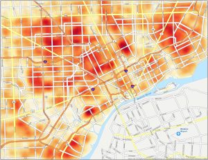
For crime, Detroit is on the top 10 list of most dangerous in the United States. Our Detroit crime map highlights hot and cold spots.
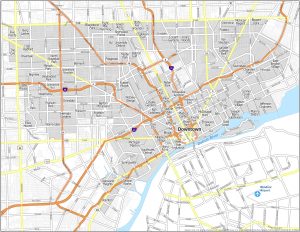
This Detroit neighborhood map is your guide to “The Motor City”. This map helps you explore the dynamic neighborhoods in Detroit, Michigan.