Lost in Null Island: The Curious Origin of 0,0
What is Null Island?
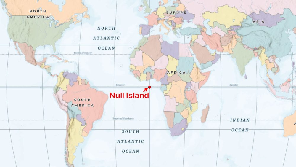
“Null Island” is a bit of an ongoing inside joke in the world of GIS. It’s actually a place that doesn’t exist in the world today.
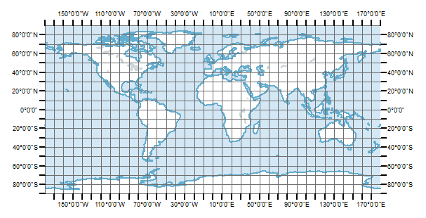
But rather it’s a set of geographical coordinates where the equator (latitude 0°) intersects with the prime meridian (longitude 0°).
This means that it’s located in the Gulf of Guinea in the Atlantic Ocean… basically in the middle of nowhere.
We, GIS folks, just made it up because it’s an error that we constantly make when creating GIS data. More on this later.
Why Data Ends Up Near Null Island
As mentioned before, “Null Island” is a common error with geospatial data. Here’s a situation that leads to locations being placed at “Null Island”.
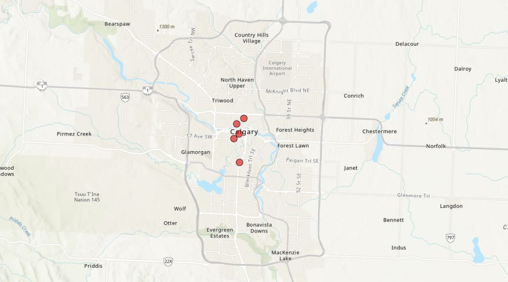
Consider that you have the following coordinates in the city of Calgary, Canada. These coordinates are in the WGS84 coordinate system:
| ID | Latitude | Longitude |
|---|---|---|
| A1 | 51.044 | -114.072 |
| A2 | 51.062 | -114.065 |
| A3 | 51.038 | -114.081 |
| A4 | 51.055 | -114.077 |
| A5 | 51.039 | -114.069 |
First, let’s create XY points the correct way. If we choose WGS 84 as the geographic coordinate system, you can see that these coordinates land exactly where they belong in the City of Calgary.
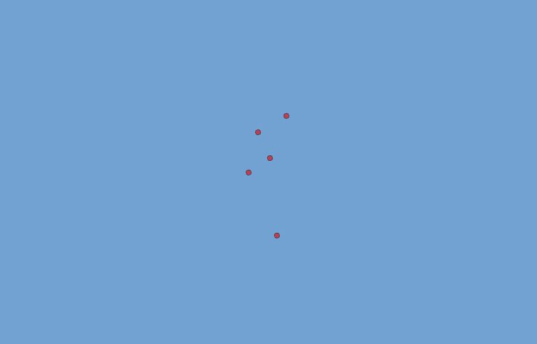
But let’s say I think that these coordinates are actually in the Times (World) Projection, which is a cylindrical map projection. What will happen is that these coordinates will end up in what we call “Null Island”.
Here’s where these coordinates land with the Times (World) projection:

As you can see in the image above, the point locations land near Africa in the Atlantic Ocean. But this is nowhere near where we want them to be in Calgary. How come?
So the reason is that you have to know the correct coordinate system before you create XY points. If you select any random coordinate system, this is how your data may end up in “Null Island” or at least close to it.
When you zoom into its full extent, you can see these coordinates are close to “Null Island” (0°N latitude and 0°E longitude). This is not that exciting of an image, but you can see how it’s in the Atlantic Ocean and still takes the same shape as it should (but just in the wrong spot!).
But why are these coordinates in the wrong spot?
First, let’s take a look at one set of coordinates from the table. If you have a latitude coordinate of 51.044° and a longitude coordinate of -114.072°, you can see in the map below that it’s roughly in Calgary, Canada.
But because this set of coordinates is so small in values in a Times (World) projection, this point will end up close to the origin (0°N, 0°E).
Conclusion: Where Is Null Island?
So to recap… “Null Island” has become an inside joke amongst geospatial professionals to show data location errors in GIS.
But what’s the current state of this non-existent island? Although there is no landmass or island at these coordinates, there is an ATLAS buoy at (0°N, 0°E) at all times.
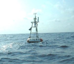
This buoy is anchored by a cable to the seabed and it measures temperature and wind speed at all times.
Well, there you have it. We’ve explained what “Null Island” is and how GIS professionals erroneously land their data near there.
Do you have any questions or comments? Please let us know in the comments section below.


Man the term Null Island is a joke, “humor”. I bet you are a real pain in the neck .
On your website it says that the point where the equator crosses the prime meridian is called “NULL ISLAND”.
However, that is not the correct name for the point.
At the position 0.0 N/S and 0.0 E/W, is a weather buoy with the name “NULL ISLAND” has been laid out.
The weather buoy is anchored at the position 0.0 N/S and 0.0 E/W, i.e. where the equator crosses the zero meridian, and this point is “ANKER’S POINT”.
The reason for the name can be found at – http://www.ankerspoint.dk
As can be seen from the website, thorough investigations and exchanges were carried out for a number of years until the case ended up with The United Nation of Experts on Geographical Names. Based on this and with The United Nation of Experts on Geographical Names’ statements, the position where the equator is crossed by the prime meridian is named “ANKER’S POINT”.
(If a ship with the name ”M/S XXXX” anchors at a random location, the position is not named “M/S XXXX”).
Therefore,GIS Geography should correct its erroneous information.
I hope to hear more from GIS Geography.
Thanks in advance.
With best regards