7 Alternatives to Google Maps for Navigation
Whether you’re looking for a detailed map of a city or for a road trip, these alternatives to Google Maps can you with right tool for the job.
Whether you’re looking for a detailed map of a city or for a road trip, these alternatives to Google Maps can you with right tool for the job.

ArcGIS Pro is one of the most versatile GIS software today. To help you get the most out of it, here are the top 20 ArcGIS Pro tips & tricks.
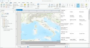
Dynamic text in ArcGIS Pro is a feature that allows you to insert text elements into your map layouts that are automatically updated.
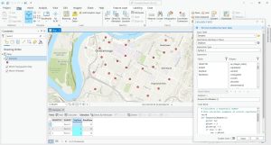
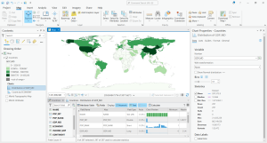
In this article, you’ll learn how to generate sequential and random numbers using the “field calculator” in ArcGIS Pro (Python and Arcade).
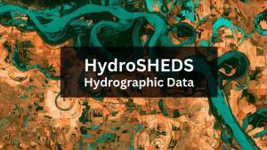
HydroSHEDS is a free GIS data source (sub-basins, rivers, lakes, waterfalls, and more) for water resources management and decision-making.
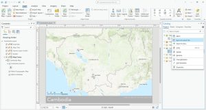
In this article, we’ll provide you with step-by-step instructions on how to create consistent map templates in your organization.
The purpose of data engineering in ArcGIS Pro is for you to explore and prepare your data before you start using it for analysis or mapping.
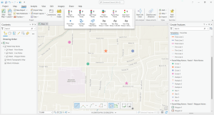
Map notes are a quick and easy way to add features or annotations to a map in ArcGIS Pro without having to create a feature class beforehand.
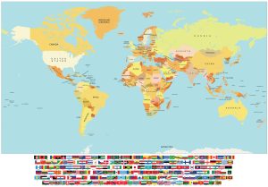
Our map of the world with flags is available free to download. You can use it for commercial purposes so feel free to please print it out.
This article will give an overview of differential GPS (DGPS) including the basics, its components, and what it can do for you.