Map of Austin, Texas

Map of Austin
Some of the things Austin is famous for are BBQ, Tex Mex, and general weirdness. This Austin map is a great way to explore the city and learn about the capital city of Texas. It’s complete with a road map, top 10 things to do, and an interactive map of the city extent.
Known for its tourist attractions and booming economy, it has an infinite amount of opportunities to explore. The weather is great, the food is even better, and it’s also where people come to celebrate their love of live music.
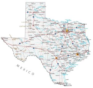
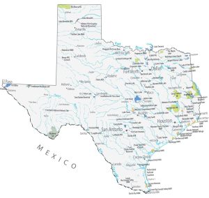
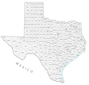
Get the most out of your visit to Austin, Texas. If you are looking for a map of Texas, our printable map has interstate highways and roads. This way, you can also explore the state by car.
Jump To: Interactive Map | Printable Road Map | 10 Things to Do | Reference Map
Austin map collection
Interactive Map of Austin
As the capital city of Texas, Austin has a population of around 965,000. It’s the cultural, political, educational, and economic center of Texas. Austin is home to many universities and colleges making it a popular place for students to study. America has it ranked as one of the best cities in the U.S. for starting a business. Explore Austin, Texas with this interactive map.
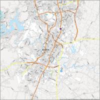
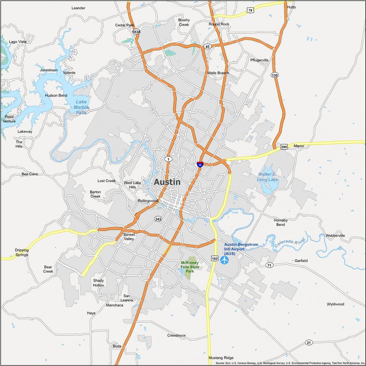
Austin Road Map
Geographically speaking, Austin is located about 80 miles (130 km) northeast of San Antonio on Interstate 35. Also, it’s about 165 miles (265 km) away from Houston to the east by State Hwy 71 E and Interstate 10. To help you find your way around, we’ve provided this road map of the area.
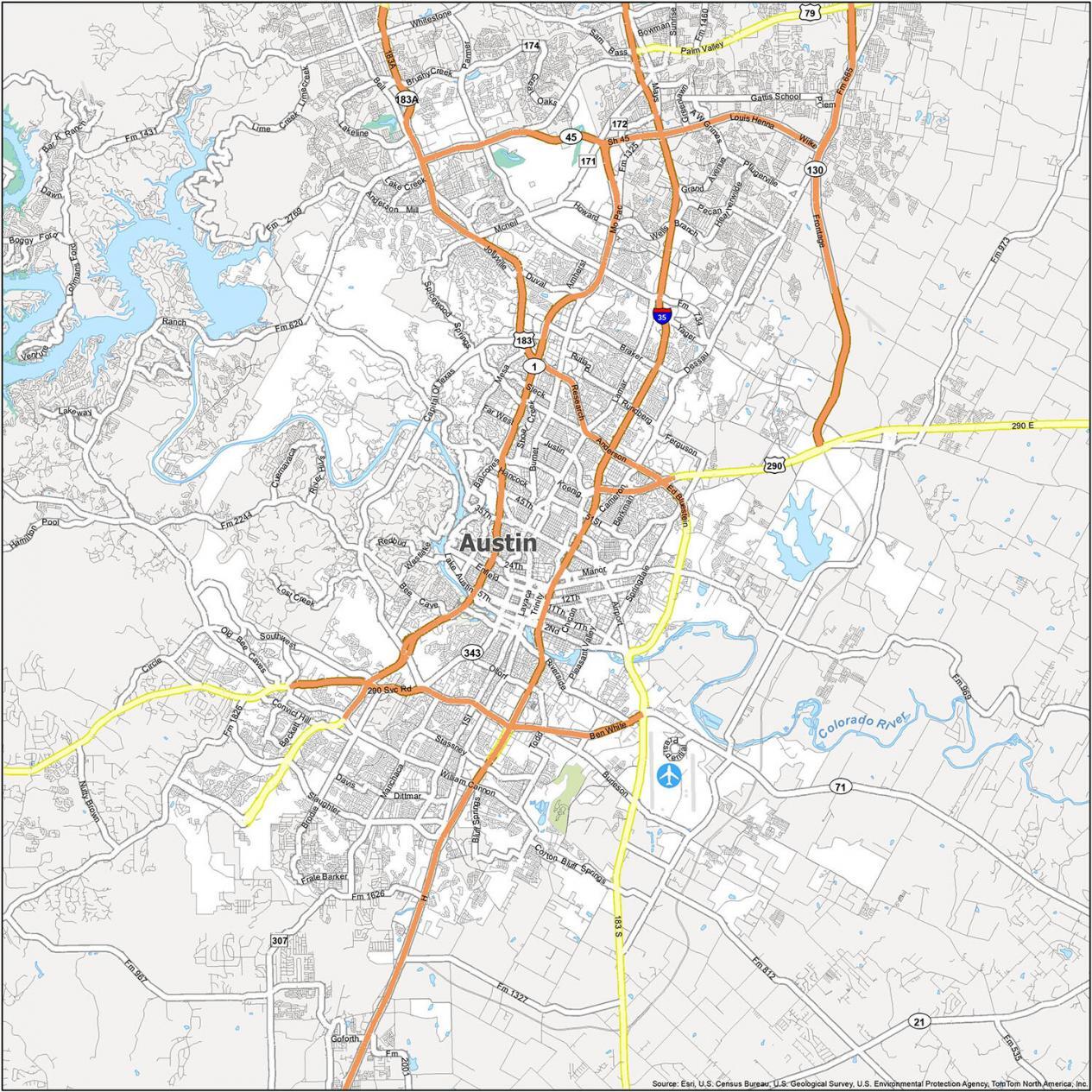
Interstate Highways: I-35
US Highways: 45, 71, 130, 171, 172, 183, 290, Lockhart Hwy
Expressways/Parkways: Mo Pac Expy, Southwest Pky
Major Roads: Airport Blvd, Allandale Rd, Anderson Ln, Avery Ranch Blvd, Bell Blvd, Ben White Blvd, Capital Of Texas Hwy, Cardinal Loop, Ed Bluestein Blvd, Frontage Rd, Koenig Ln, Northland Dr, Presidential Blvd, Ranch Rd, Research Blvd
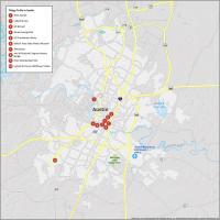
10 Things To Do in Austin, Texas
Austin is a city that has made its mark on the map of Texas and in the south of the USA. With its fun, laid-back vibe, the city has an abundance of live music. It has entertainment events so chill that you can cool off from the heat. By using this attractions map, explore Austin’s landmarks, monuments, and places to see.

- Texas Capitol
- Lady Bird Lake
- Mount Bonnell
- Barton Springs Pool
- LBJ Presidential Library
- Bullock Texas State History Museum
- The Driskill
- Ann W. Richards Congress Avenue Bridge
- Zilker Metropolitan Park
- Lady Bird Johnson Wildflower Center
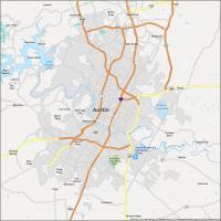
Reference Map of Austin
With close to a million residents, Austin has cultural diversity like nowhere else in the world. When you’re in a new city, you want to get the most out of your time and see the best attractions. This Austin map provides a good point of reference to familiarize you better with the city. Or, just mark it up with what you want to see and do.
Airport: Austin–Bergstrom International Airport (AUS)
Cities: Austin, Bee Cave, Buda, Cedar Park, Creedmoor, Dripping Springs, Hays, Hutto, Jonestown, Kyle, Lago Vista, Lakeway, Leander, Manor, Mustang Ridge, Pflugerville, Rollingwood, Round Rock, Sunset Valley, West Lake Hills
Census-Designated Places (CDP): Barton Creek, Brushy Creek, Garfield, Hornsby Bend, Hudson Bend, Lost Creek, Manchaca, Shady Hollow, Wells Branch, Wyldwood
Villages: Bear Creek, Point Venture, San Leanna, The Hills, Volente, Webberville

Austin has turned into a cesspool. World famous 6th St has become overwhelmed by pimps, hookers, heroin addicts, the homeless, and out-in-the-open drug dealing. All but a couple of the music venues are gone. Will never visit again.