Landsat 8 Bands and Band Combinations
We list Landsat 8 bands as well as popular band combinations which includes coastal, blue, green, red, NIR, SWIR-1, SWIR-2, cirrus and two thermal bands.
We list Landsat 8 bands as well as popular band combinations which includes coastal, blue, green, red, NIR, SWIR-1, SWIR-2, cirrus and two thermal bands.
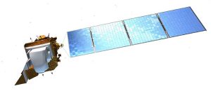
Sentinel 2 has a total of 13 bands. Each band is 10, 20 or 60 meters in pixel size. This includes red, green, blue, near infrared and short infrared bands.
AVHRR (Advanced Very High Resolution Radiometer) spatial resolution is actually very coarse at 1.1 km. But its revisit times are “very high” at just one day.
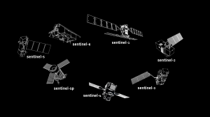
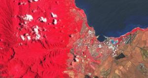
Copernicus is the world’s largest and most ambitious Earth observation program in existence today with its Sentinel satellites taking center stage.

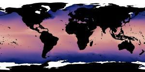
As our population grows and climate is at risk, remote sensing of the environment solves large-scale environmental issues for the land, ocean and atmosphere.
If you want the sharpest satellite imagery in the world, harness the power of DigitalGlobe imagery. Each pixel in a Worldview-3 image is about 31 cm.

Have you ever wondered how your GPS receiver works? They use a technique called trilateration, which measures distances, not angles as in triangulation.

IKONOS provides panchromatic, natural-color, color-infrared and stereo images for cartographic, remote sensing and photogrammetric applications.

During an 11-day mission, Space Shuttle Radar Topography (SRTM) mission captured Earth’s elevation at 1 arc-second (30 meters) for over 80% of the Earth.
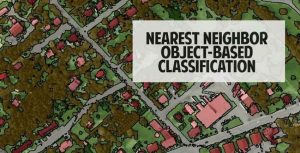
Nearest neighbor classification is a powerful approach to classify segmented objects based on specific statistics and training samples chosen by the user.