LiDAR vs. Photogrammetry: A Guide to Mapping Technologies
LiDAR vs photogrammetry – What’s the difference? LiDAR uses lasers to measure distances. Photogrammetry uses photos from different angles.
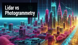
LiDAR vs photogrammetry – What’s the difference? LiDAR uses lasers to measure distances. Photogrammetry uses photos from different angles.
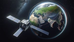
We compare the commercial satellite companies – BlackSky, Planet, and Maxar. Each company has carved out its niche in satellite technology.
In this article, we’ll explore the uses of GPS technology, how it has changed our lives, and what the future of GPS may hold.
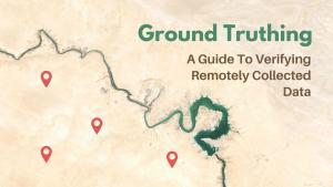
This guide will provide an overview of the ground truthing process, including the steps involved, the verification process, and the benefits.
This article will give an overview of differential GPS (DGPS) including the basics, its components, and what it can do for you.

Whether you’re a professional geographer or just a hobbyist, this list of remote sensing software available will help you get the job done.

By combining the panchromatic band with multispectral imagery, pansharpening produces images of higher resolution for better visual clarity.
In order to continue the Landsat program’s long-standing legacy, NASA and the USGS launched Landsat-9 in September 2021 as the 9th satellite.
A CubeSat is a miniaturized satellite roughly the size of a Rubik’s cube. They’re small enough to hold in your hand and inexpensive to build.

Aerial photography is a type of photography in which you capture images that are distant, from “in the air” using drones, satellites, and more.