Inset Map – A Map Within a Map

What Is an Inset Map?
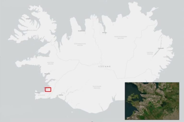
Inset maps (or locator maps) are small maps within a larger one. It shows more details of a part or gives an overview.
For example, a map of the world might have an inset map of Hawaii to show its islands more clearly.
So, while the small-scale map gives you the big picture, the inset map zooms in on a specific area for more details.
Examples of Inset Maps
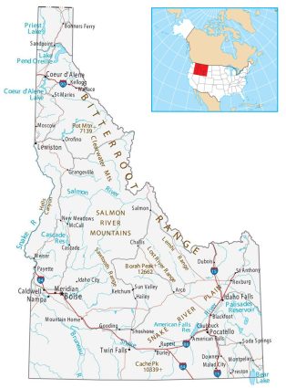
This example displays Idaho on the main map. Then, the inset map focuses on showing Idaho’s location within the entire United States.
The inset map in the top-right corner helps viewers quickly understand where Idaho is in relation to other states. The extent rectangle in red highlights the main map.

While the main map focuses on the state of Idaho, the inset map has a broader view of the United States. This setup helps you see where Idaho sits in the larger U.S.
Inset Maps in Web Maps
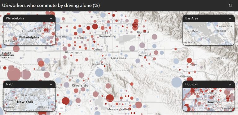
Inset maps aren’t only for static maps. It’s possible to add locator maps in web maps too. You can also have more than 1 inset map.
For example, this web map displays US workers who commute alone. Each inset map highlights major cities in the United States.

Because of this, it’s easier to compare each city’s commuting habits. The main map also helps show how everything fits into the larger picture.
Adding an Inset Map in ArcGIS Pro
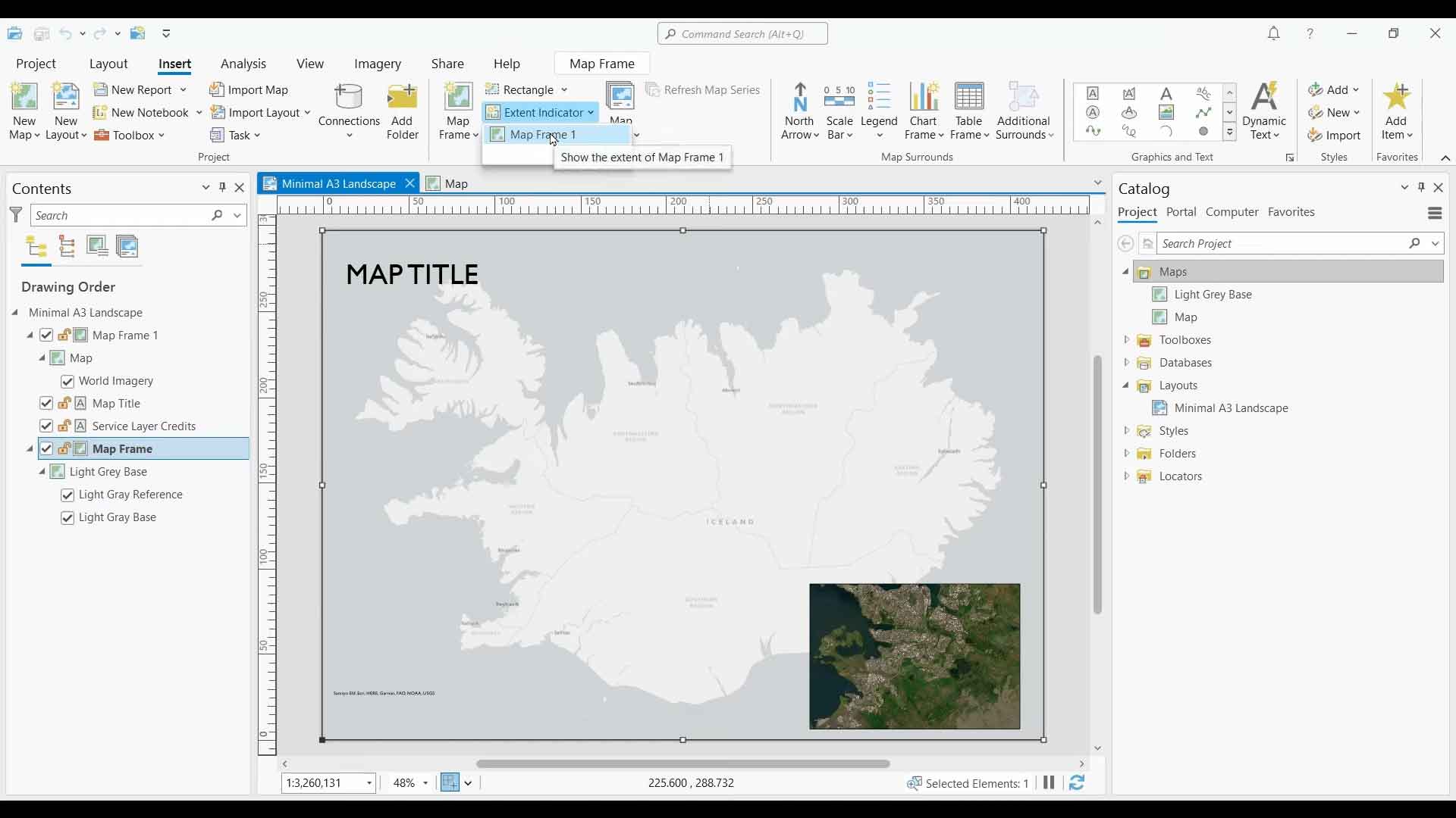
To create an inset map in ArcGIS Pro, click on the “Insert” tab. Next, click on the “Map” that you want to add.

Zoom out to an extent that covers your main extent. Finally, click the “Extent Indicator” dropdown and it to your map.
Inset Maps in GIS
Inset maps are maps within maps. Their main purpose is so you don’t lose sight of the bigger picture. You can also use them to get more detail and zoom in on areas of interest.
So that’s all we have to say about inset maps. Do you have any questions about them? Please let us know in the comment section below.


