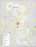
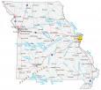
Kansas City Crime Map
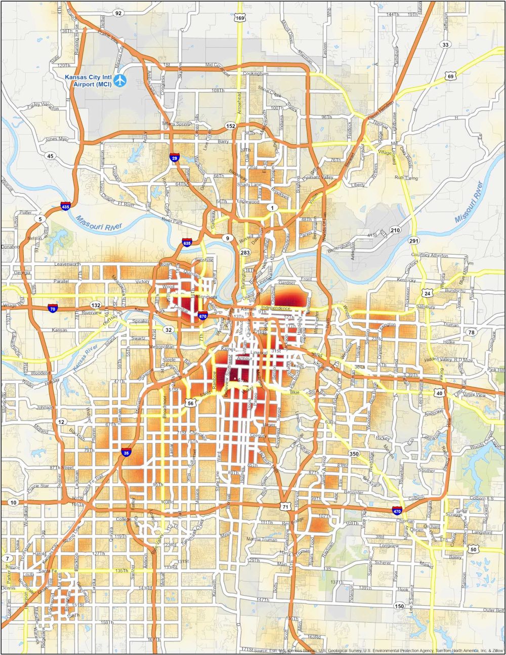
Kansas City Crime Map Neighborhoods
Our crime map is your guide to understanding Kansas City’s crime. Explore trends in safety and security in the heart of the Midwest. Below, you’ll find a table with the most dangerous neighborhoods of Kansas City.
| Neighborhood | Location | Types of Crimes |
|---|---|---|
| Wendell Phillips | East Kansas City, near 18th and Vine District | Property crimes, thefts, assaults, and occasional drug-related offenses. |
| Ivanhoe | Central Kansas City, south of Linwood Boulevard | Property crimes, burglaries, assaults, and occasional shootings. |
| Old Northeast | Northeast Kansas City, near the Kansas City Museum | High rates of property crimes, robberies, and drug-related offenses. |
| Downtown | Central business district, near Power and Light District | Thefts, vandalism, and occasional violent incidents. |
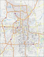
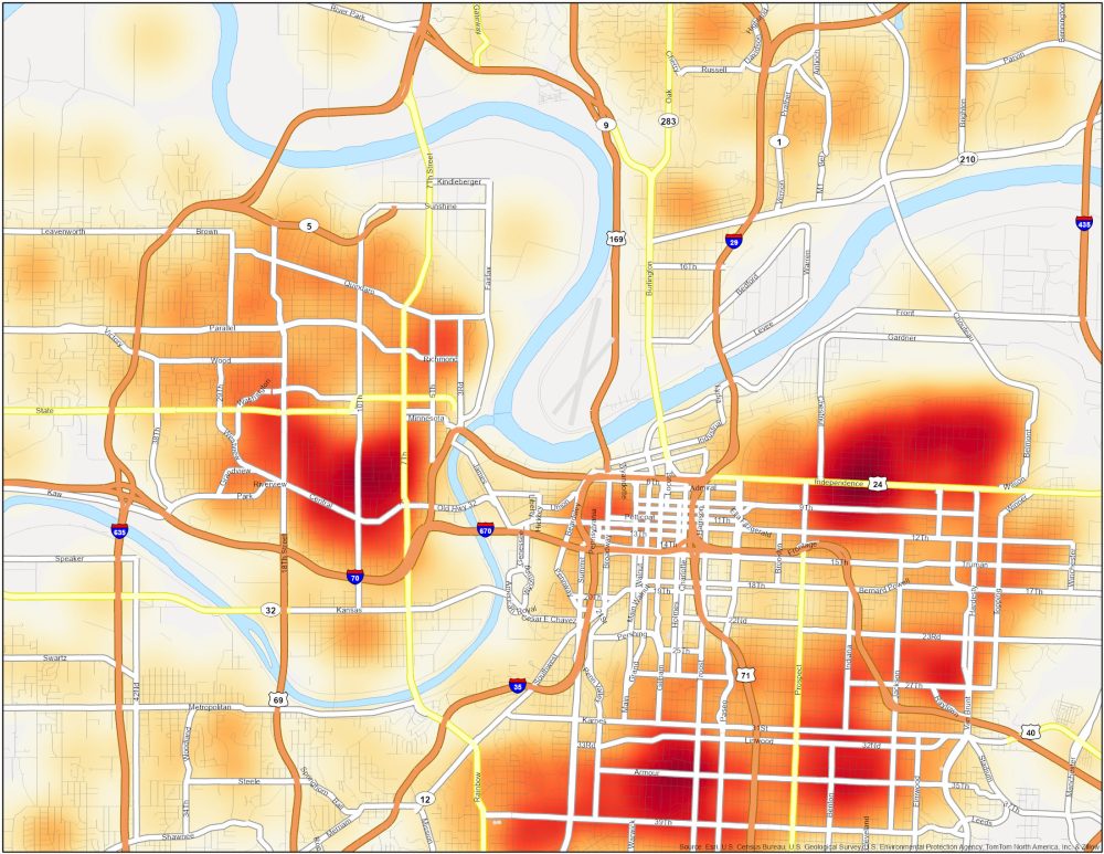
We thought it was difficult to see the downtown area in our map so we’ve created a blown-up map of that area.
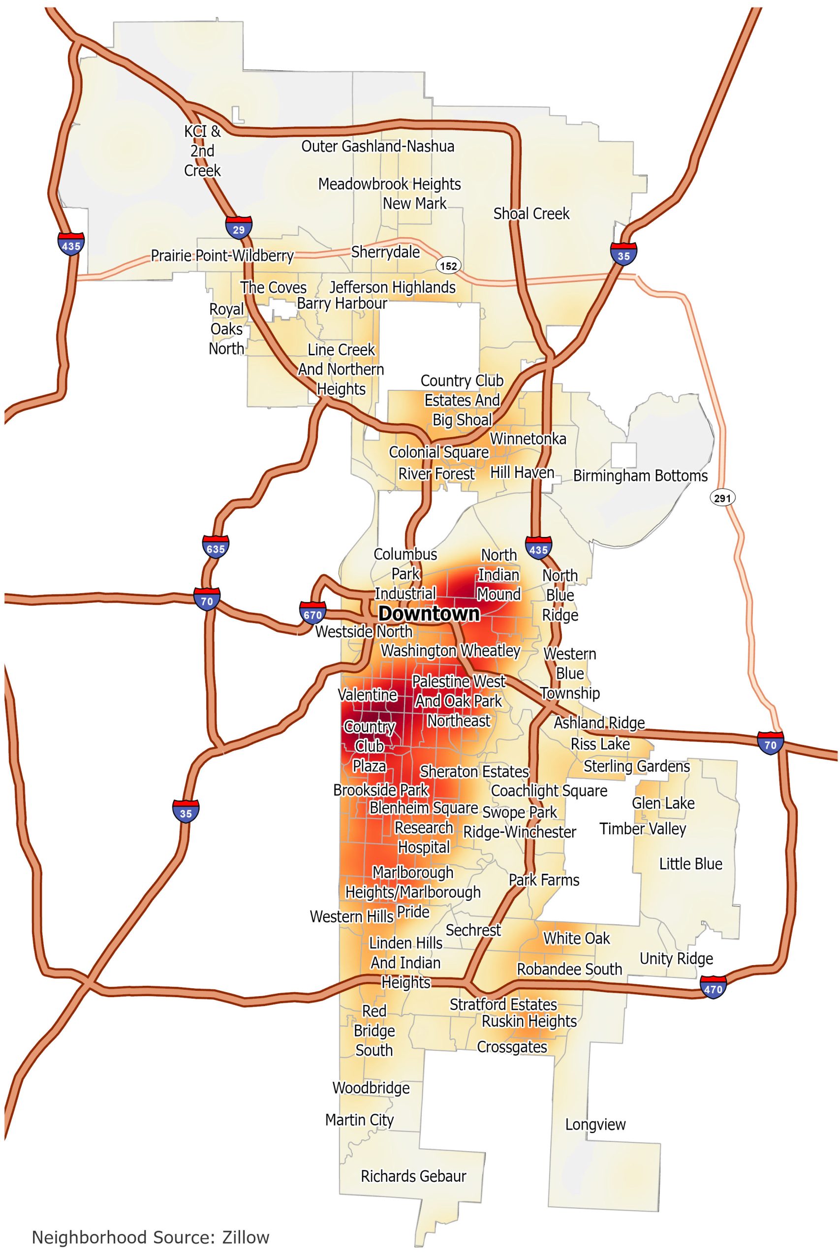
Kansas City Crime Map
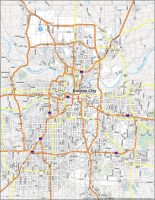
Click on the image to see our original crime map of Kansas City with interstate highways and neighborhoods.