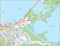
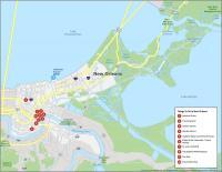
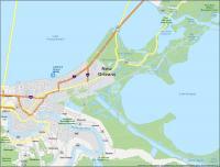
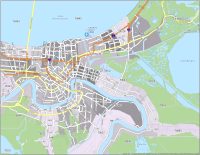
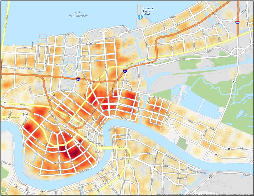
New Orleans Crime Map
Dangerous Neighborhoods in New Orleans
While New Orleans is known for its festive atmosphere, it’s good to stay informed about crime statistics. Our crime map will help us understand crime in this culturally rich city. Here are the high-crime neighborhoods in New Orleans (NOLA).
| Neighborhood | Location | Types of Crimes |
|---|---|---|
| Central City | Near Downtown New Orleans, west of the Central Business District | Property crimes, occasional violent incidents, and drug-related offenses. |
| Holly Grove | West of Carrollton Avenue, near the Jefferson Parish line | Theft, burglaries, assaults, shootings, and drug-related offenses. |
| Treme | Near the French Quarter and Louis Armstrong Park | 8X higher than the national average. Property crimes, robberies, assaults, and occasional violence. |
| New Orleans East | Southeast of Downtown New Orleans, along Interstate 10 (I-10) | Property crimes, thefts, burglaries, and occasional assaults. |