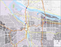
Portland Crime Map
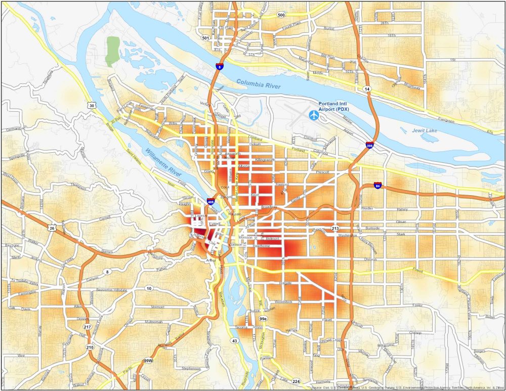
Dangerous Neighborhoods in Portland
Explore our Portland crime map to stay informed about the safety of different neighborhoods. These neighborhoods are especially dangerous to travel to in Portland.
| Neighborhood | Location | Types of Crimes |
|---|---|---|
| Old Town/Chinatown | Downtown Portland, on the west side of Willamette River | Homicides, drug-related offenses and occasional violent incidents. |
| Hazelwood | Southeast Portland. On the east side of Interstate 205 (I-205) | Theft, burglaries, assaults, and occasional gun-related homicides. |
| Lents | Southeast Portland. South of US-26 and near SE 82nd Avenue | Property crimes, robberies, assaults, and occasional violence. |
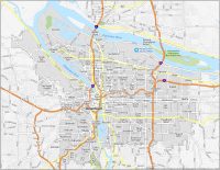
Hayden Island is part of Portland. You should include it when making maps of Portland
Is Portland now one of the most dangerous cities in the U.S. to live in How does it rank?
no Brian, do not confuse Portland with Detroit