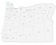
Map of Oregon – Cities and Roads
About the map
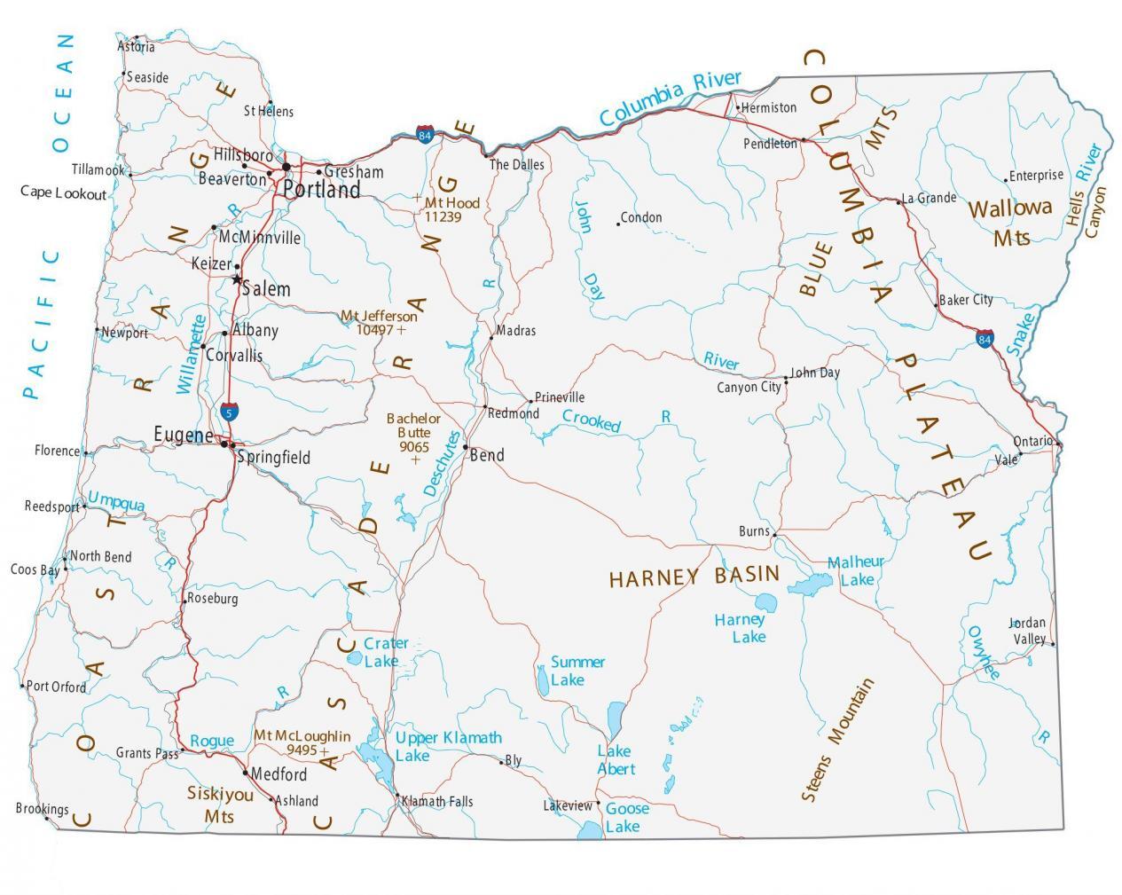
This Oregon map shows cities, roads, rivers, and lakes. For example, Portland, Eugene, and Salem are some of the major cities shown in this map of Oregon.
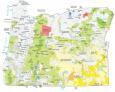
Oregon is known as being a major frontier for logging and lumber. This may be why it’s also nicknamed the Beaver State. Oregon is a state oddly mixed with vegans and lumberjacks. Not only lumber production, but Oregon has incredibly good donuts too.
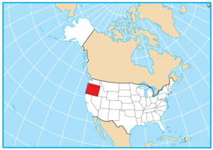
For geography, Oregon is situated on the west coast of the United States. It borders the states of Washington, Idaho, Nevada, and California. In its entirety, the west coast is the Pacific Ocean. Some of its other highlights include craft beer and wine, Crater Lake National Park, and Oregon Trail and Pioneering History.
Oregon map collection
You are free to use our map of Oregon for educational and commercial uses. Attribution is required. How to attribute?
State capital
Salem
Major cities and towns
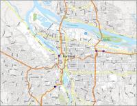
Portland
Eugene
Salem
Albany
Bend
Corvallis
Hillsboro
Keizer
Medford
Springfield
Gresham
Beaverton
McMinnville
Astoria
Baker City
Brookings
Burns
Canyon City
Condon
Coos Bay
Enterprise
Florence
Grants Pass
John Day
Jordan
Valley
Klamath Falls
La Grande
Lakeview
Madras
Newport
Ontario
Pendleton
Port Orford
Prineville
Redmond
Reedsport
Roseburg
St Helens
Seaside
Tillamook
Vale
Ashland
North Bend
Hermiston
Bly
The Dalles
Interstate highways
Interstate-5 (I-5)
Interstate-84 (I-84)
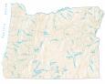
Lakes, rivers and creeks
Columbia River
Willamette River
Umpqua River
Deschutes River
Rogue River
Upper Klamath Lake
Goose Lake
John Day River
Owyhee River
Summer Lake
Lake Abert
Harney Lake
Malheur Lake
Crater Lake
Snake River
Crooked River
Pacific Ocean
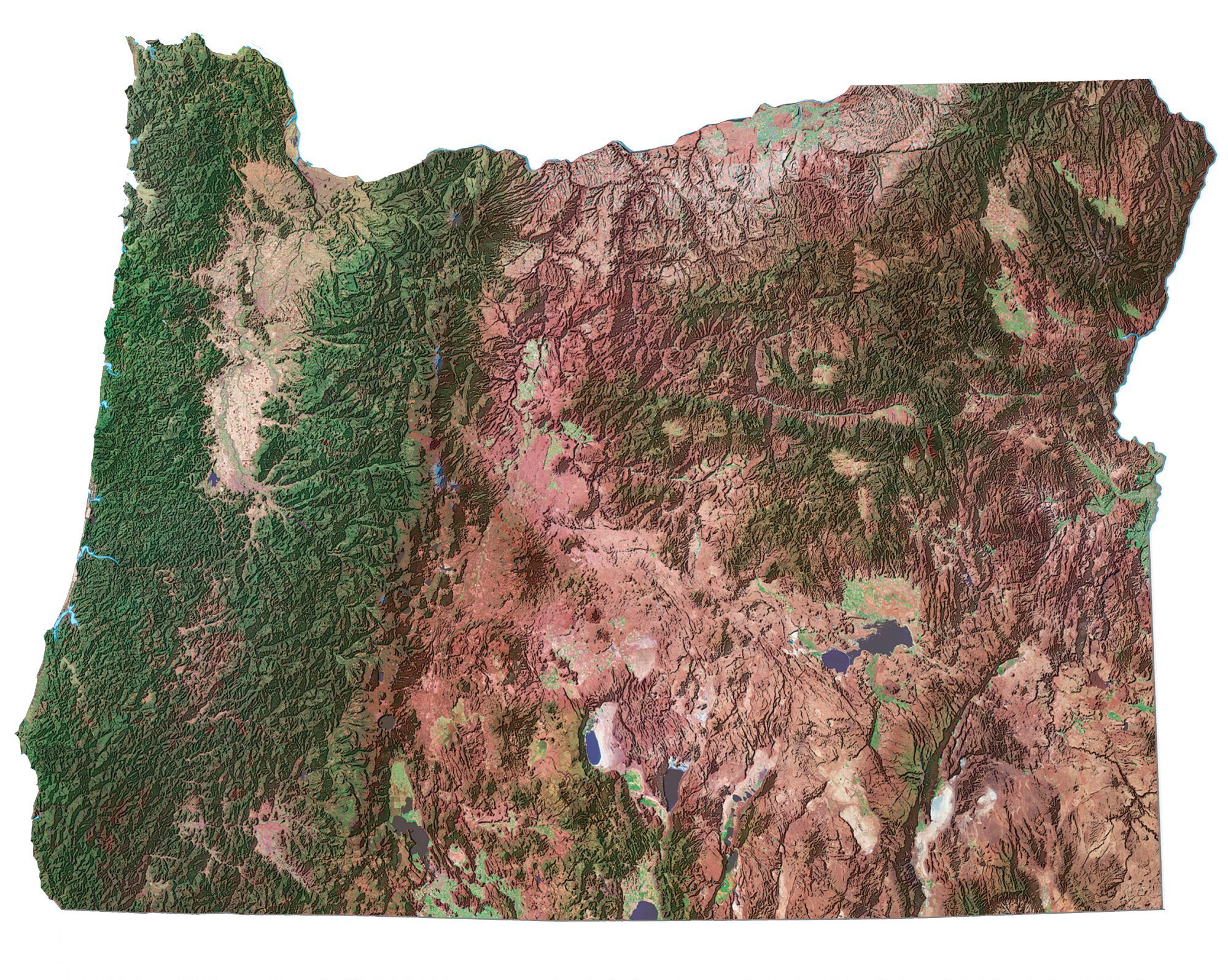
Landmarks in Oregon
Harney Basin
Steens Mountain
Blue Mountains
Wallowa Mountains
Hells Canyon
Columbia Plateau
Siskiyou Mountains
Coast Range
Cascade Range
Mount Hood
Mount Jefferson
Mount McLoughlin
Bachelor Butte
Cape Lookout