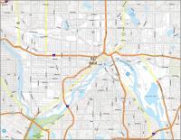
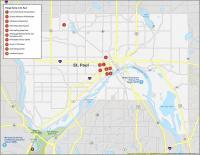
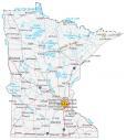
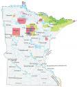
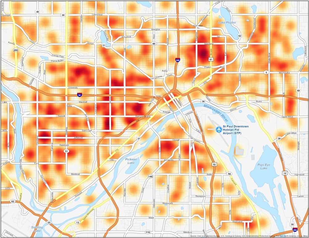
St. Paul Crime Map
Dangerous Neighborhoods in St. Paul
This St. Paul crime map can help you understand the safety of this city. Visualize crime data across neighborhoods so you can be safer in St. Paul, Minnesota.
| Neighborhood | Location | Types of Crimes |
|---|---|---|
| North End | Northern St. Paul, residential and commercial mix | Property crimes such as thefts, burglaries, and occasional violent incidents. |
| East Side | Eastern region of the city. Diverse residential areas | Theft, burglaries, occasional assaults, and drug-related offenses. |
| West Side | Historic and cultural district in the west part of the city | Property crimes, occasional violent incidents, and thefts. |
| Frogtown | Central St. Paul, known for cultural diversity and local businesses | Property crimes, robberies, assaults, and drug-related offenses. |