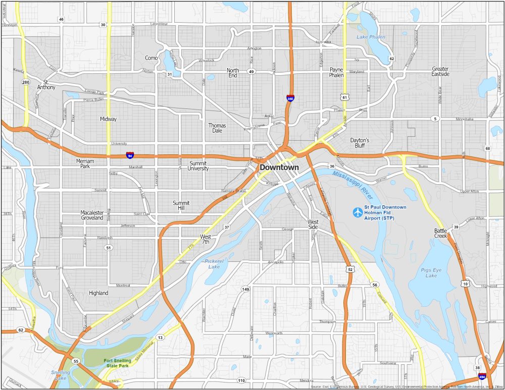
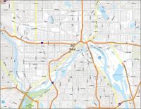
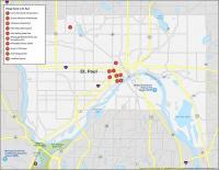
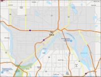
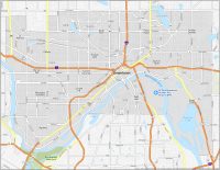
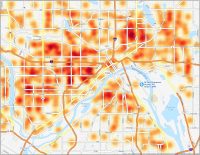
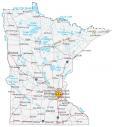
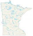
St. Paul Neighborhood Map
Downtown St. Paul
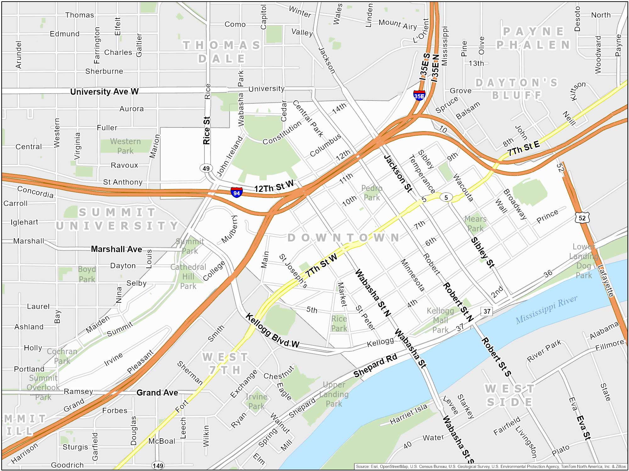
Downtown Saint Paul is the heart of the city. It’s a mix of old and new and is a hub of business. You’ll find the historic Landmark Center built in 1902. This was a post office and courthouse in Minnesota. This neighborhood also holds the State Capitol and arts scene along West 7th Street.
Summit-University
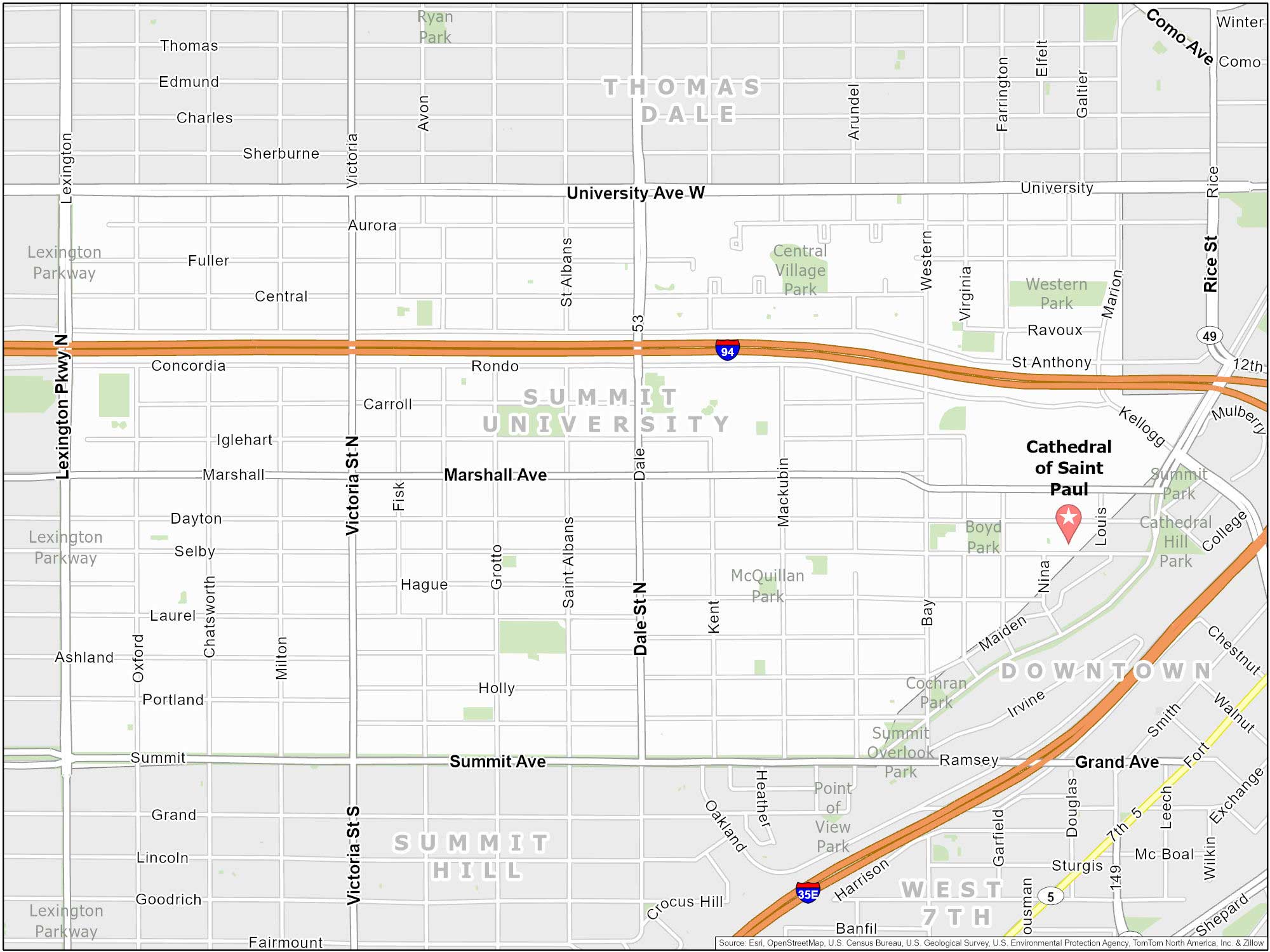
The upper and lower bounds of this neighborhood are Summit Avenue and University Ave. Hence, the name Summit-University. But there’s much more to it than that. It features the iconic Cathedral Hill neighborhood. This is the top attraction to see in St. Paul (my opinion). Plus, it’s just right next to downtown Saint Paul.
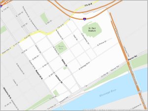
Lowertown Map
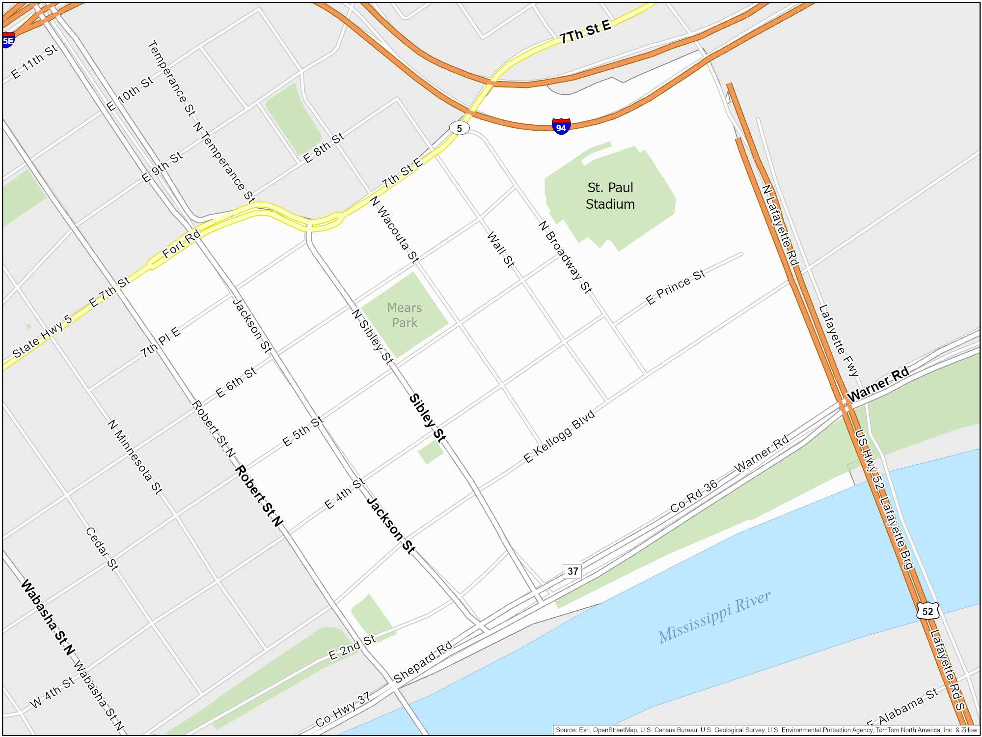
Lowertown is situated to the east of downtown, right next to the Mississippi River. It’s known for its historic buildings and arts scene. You can also check out its popular farmers market and minor league baseball field. Ironically, they’re called the “Saints”.
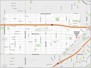
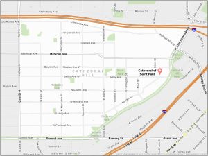
Cathedral Hill Map
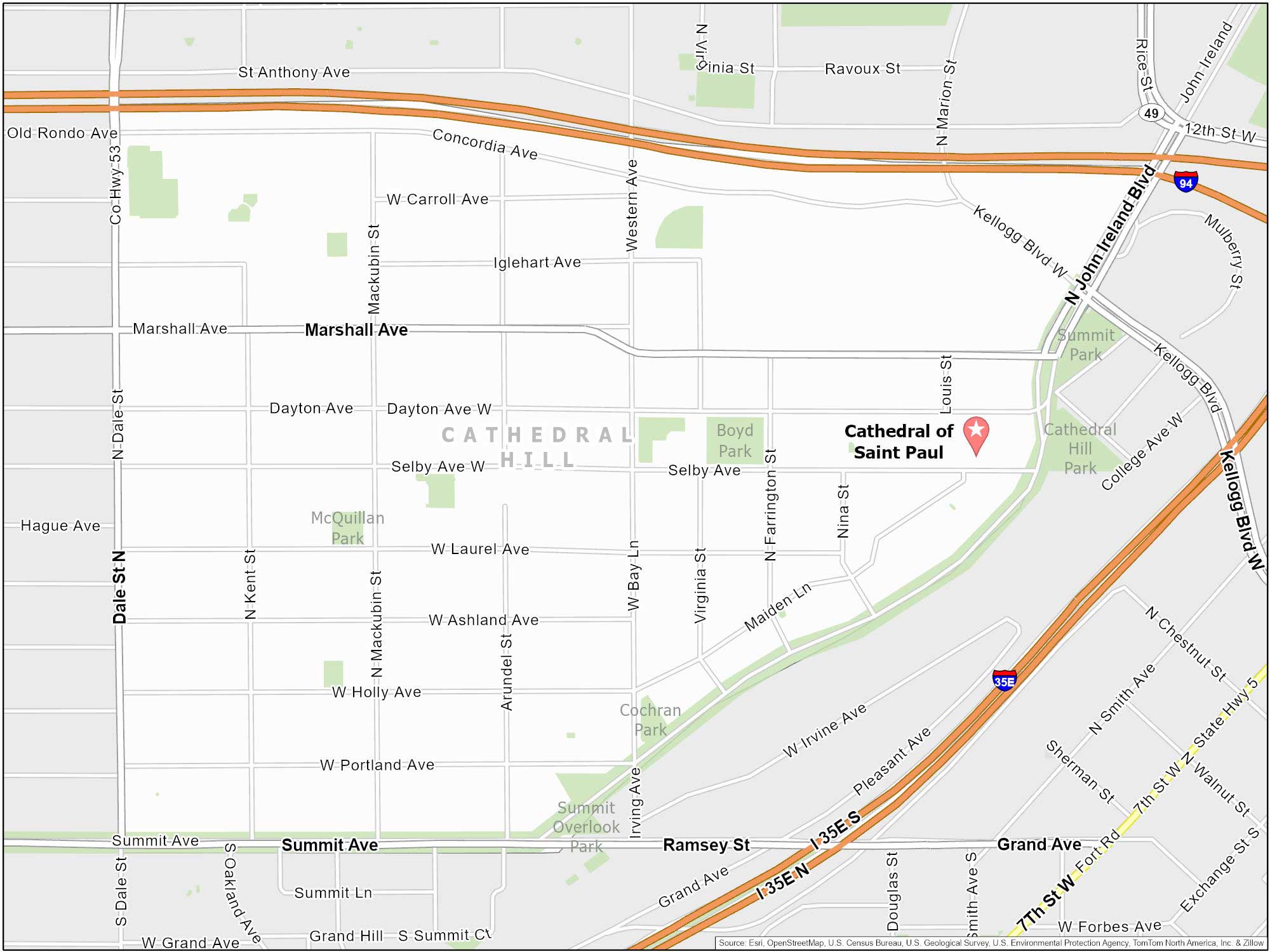
If you go to Saint Paul, I suggest checking out Cathedral Hill. It’s my #1 pick. And of course, the neighborhood goes by the same name as the attraction. Here’s our map of Cathedral Hill. You’ll also find lots of parks and cozy areas for picnics.
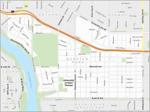
Merriam Park
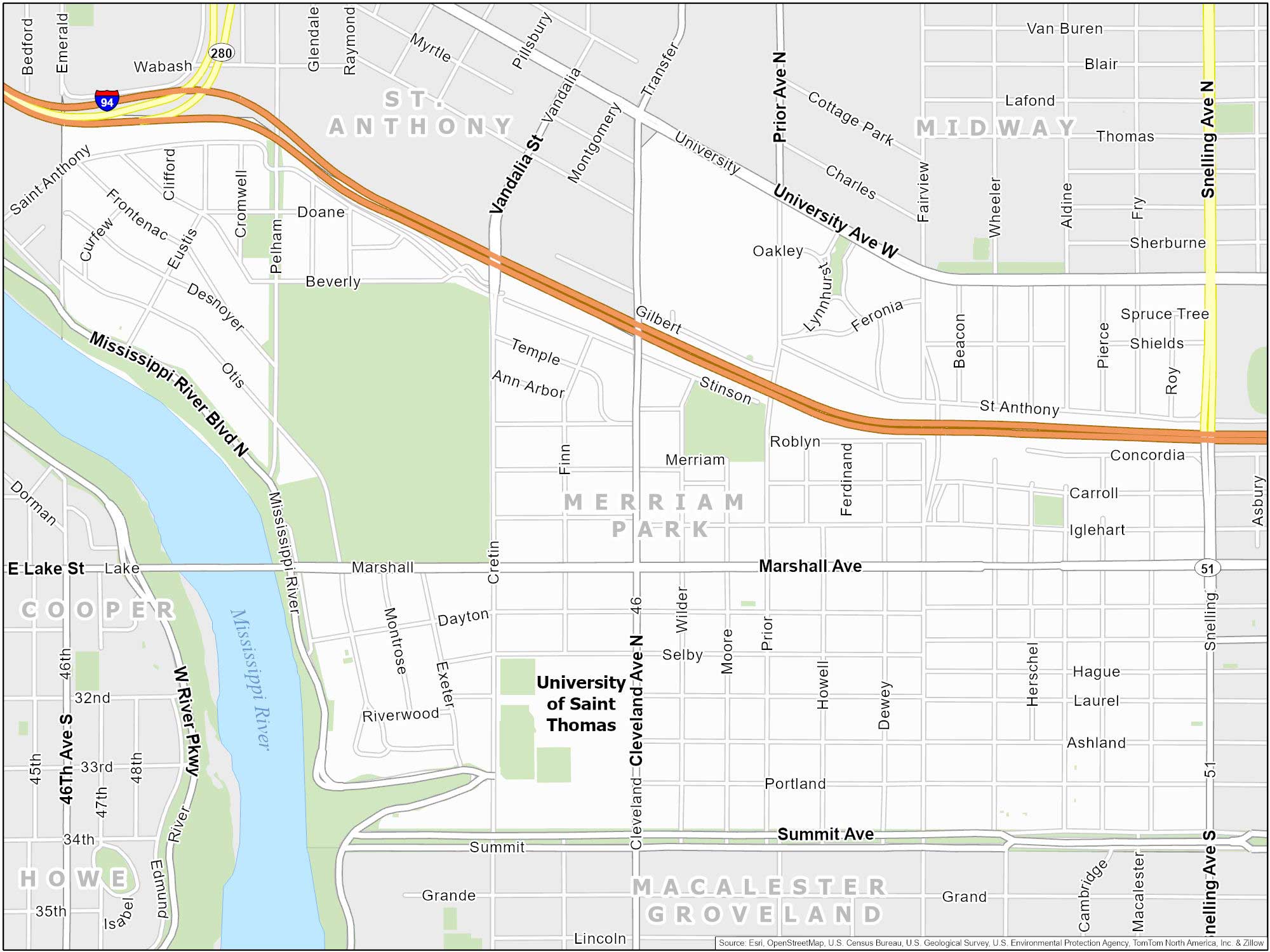
This is one of the quieter neighborhoods in Saint Paul. One nice feature is that it gives you access to Mississippi River Boulevard. Green spaces galore. It’s known for its beautiful parks, including Merriam Park and Newell Park.
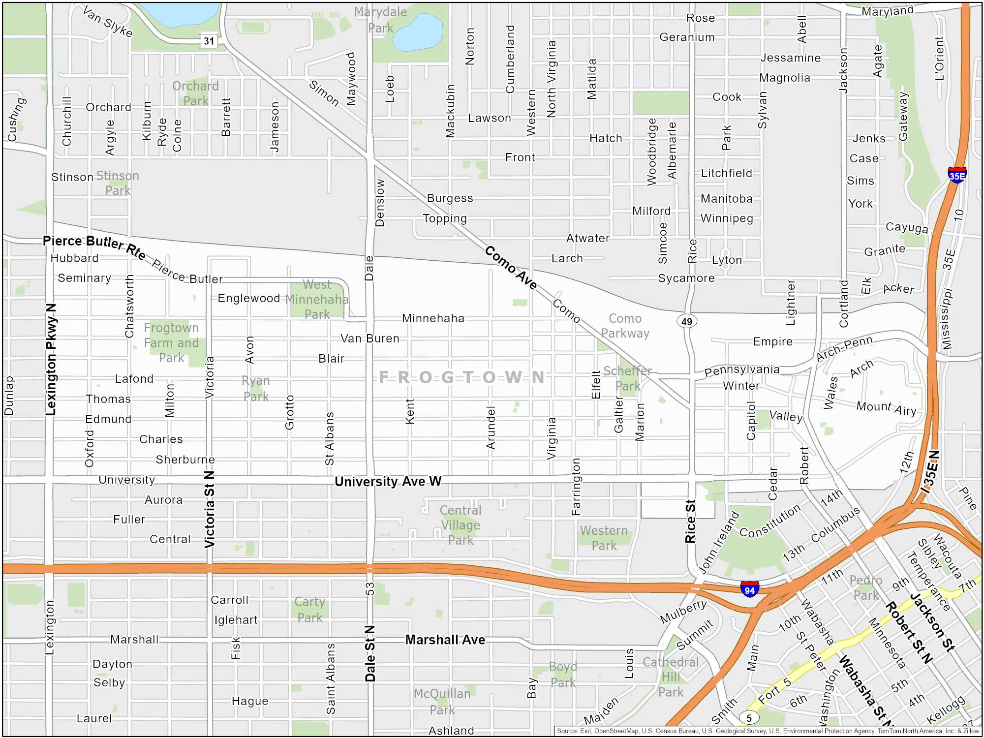
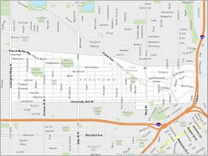
Frogtown Map
Is Frogtown known for its frogs? Quite the contrary. The name actually originates from the frog song serenade by the German people who moved here. But the area is swampy so you might see some frogs here. Frogtown, or the Thomas-Dale neighborhood, is located just northwest of downtown. This makes it a convenient spot to visit or live.
