Minnesota Lakes and Rivers Map
About the map
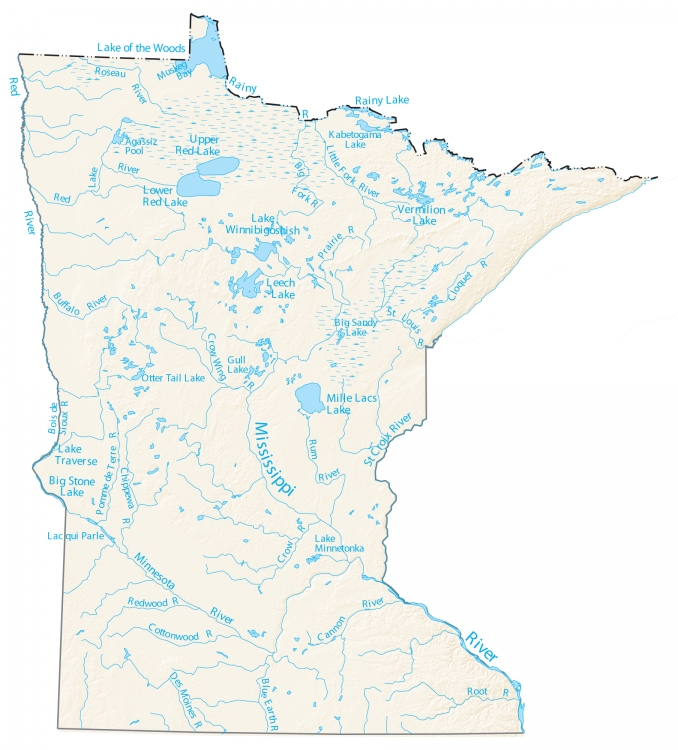
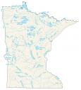
On this map, you will find major rivers, reservoirs, and lakes in Minnesota. Minnesota is nicknamed the “land of 10,000 lakes”. But it actually has 11,842 lakes, which are over 10 acres in area.
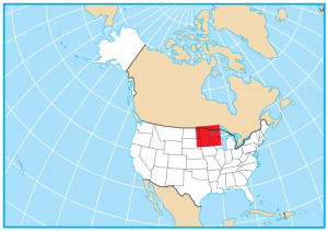
The largest lake in Minnesota is Red Lake at close to 289,000 acres, which includes both the “Upper” and “Lower”. The next largest lakes are Mille Lacs Lake at 132,500 acres and Leech Lake at 111,500 acres.
On the east side of Minnesota, the Mississippi River flows separating its boundary with Wisconsin. But on the west side of Minnesota, it’s the Bois de Sioux River and Red River that carve out the boundary between North Dakota. Minnesota has more than 10,000 lakes, so you’re bound to find one that suits you.
Minnesota map collection
You are free to use our lakes and rivers map of Minnesota for educational and commercial uses. Attribution is required. How to attribute?
Minnesota lakes, rivers and reservoirs
Lakes and reservoirs
Lake Superior
Lake of the Woods
Red Lake
Rainy Lake
Upper Red Lake
Lower Red Lake
Leech Lake
Mille Lacs Lake
Lake Traverse
Big Stone Lake
Lake Winnibigoshish
Vermilion Lake
Lake Minnetonka
Kabetogama Lake
Big Sandy Lake
Otter Tail Lake
Gull Lake
Muskeg Bay
Agassiz Pool
Lac qui Parle
Rivers and streams
Mississippi River
Minnesota River
St Croix River
Rainy River
Des Moines River
Blue Earth River
Root River
Rum River
St Louis River
Crow Wing River
Little Fork River
Big Fork River
Cloquet River
Cannon River
Crow River
Cottonwood River
Redwood River
Pomme de Terre River
Chippewa River
Bois de Sioux River
Buffalo River
Roseau River
Prairie River

Why doesn’t the Mississippi River extend to the Wisconsin/Minnesota border on your map?
Thanks G. Moore, I very much appreciate the feedback. It looks like it was an exporting error and it did not include that part of the Mississippi River near Wisconsin. I’ve fixed the issue. Please send me any more feedback if you see any issues with any other maps.