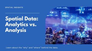
Spatial Analytics vs Spatial Analysis
Spatial analysis focuses on finding spatial patterns and trends. Spatial analytics enables predictions by using AI and machine learning.
Spatial analysis focuses on finding spatial patterns and trends. Spatial analytics enables predictions by using AI and machine learning.

Imagine if your GIS was not just a know-it-all but also a learn-it-all, constantly figuring out the world. Welcome to the world of GeoAI.
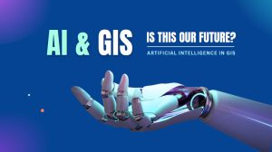
Are AI maps inevitable in GIS? AI and its impacts on the GIS industry are overblown. We explore how AI will penetrate our industry.
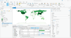
The purpose of data engineering in ArcGIS Pro is for you to explore and prepare your data before you start using it for analysis or mapping.
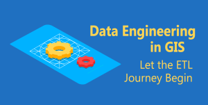
Data engineering in GIS prepares spatial data for analysis such as filling in missing values, adding fields, geoenriching, and cleansing values

R programming is a free, open-source language for statistical computing and visualization including analysis, data mining, and graphing.

Geoanalytics is an emerging science in which big data technology extracts meaning, patterns, and insights from complex geospatial datasets.
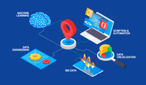
Spatial data science is a subset of data science. It’s where data science intersects with GIS with a focus on new computing techniques like AI.
Data visualization serves not only as a tool for insightful analysis but also as a powerful means to communicate complex information.

Programming certification is essential for those who want to advance their careers, be competitive in the market, and stay ahead of the curve.