GeoAI: Artificial Intelligence in Geography
DEFINITION:
GeoAI (Geospatial Artificial Intelligence) is the use of AI (like machine learning and deep learning) to solve geospatial problems related to location, maps, and Earth data.
Introduction to GeoAI
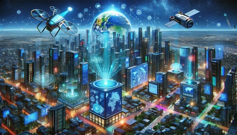
Imagine if your GIS software was not just a know-it-all but also a learn-it-all, constantly figuring out the world in smarter ways. Welcome to the world of GeoAI.
It’s like giving a superhero cape to your maps. It allows them not only to show you the way but also to predict tomorrow’s traffic jams.
In a nutshell, GeoAI combines geospatial data with artificial intelligence. The goal is to analyze geographical information and make more accurate predictions. Today, let’s dive into this fascinating world of GeoAI.
Key Technologies
Who is leading the way in GeoAI? There are a couple of bigger players right now. Here are some of the ones that stand out right now.
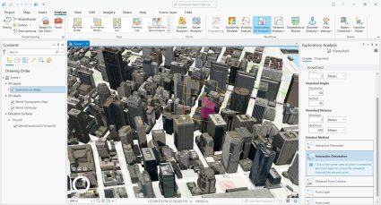
1. ESRI ArcGIS: ArcGIS is the global leader in GIS technology. GeoAI incorporates AI and machine learning for spatial analysis and predictive modeling. You can check out Esri’s YouTube GeoAI channel. Examples include feature extraction and deep learning using the arcgis.learn module.
2. Google Earth Engine: GEE combines a multi-petabyte catalog of satellite imagery and geospatial datasets. You can perform planetary-scale analysis capabilities such as model training and regression prediction.
3. QGIS with AI plugins: Although QGIS is a bit behind with its AI capabilities, it’s slowly but surely catching up. AI plugins enable advanced geospatial data analysis. For starters, check out these machine learning plugins. They include clustering, segmentation, and deep neural networks.
Just remember, while these tools are getting smarter by the day, they are still in the growth stage.
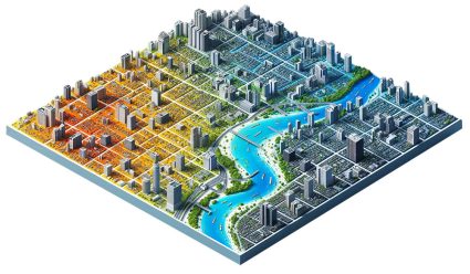
Applications of GeoAI
Some of the key applications of GeoAI are environmental monitoring, urban planning, disaster management, and transportation.
FLOOD PREDICTION: GeoAI models can assist in predicting flood-prone areas. By analyzing terrain data and weather patterns, disaster responders can improve emergency response.
DEFORESTATION DETECTION: Using satellite imagery, GeoAI can identify changes in forest cover over time. This aids in efforts to combat deforestation and preserve biodiversity.
CITY HEAT MAPPING: GeoAI analyzes urban heat islands by processing satellite and aerial imagery. By understanding urban heat, city planners can design livable urban environments.
TRAFFIC FLOW OPTIMIZATION: GeoAI assists in analyzing traffic patterns using data from various sources, including GPS and road sensors. Through traffic flow optimization with GeoAI, this can reduce congestion in cities.
Each of these examples showcases the practical applications of GeoAI in addressing real-world challenges across different sectors.
Challenges and Limitations
In the field of GeoAI, it can be limited by the quality and availability of geospatial data. Think about your data as a GIS analyst. Is it complete? How accurate is it? The reality is that GIS can be sparse or outdated. This is a serious limitation to GeoAI.
Another major challenge is ensuring data privacy and security. As geospatial data often contains sensitive information about individuals and locations, ensuring data privacy is paramount.
Finally, the resource-intensiveness of GeoAI models can pose challenges in real-time decision-making scenarios. If your computer is chugging along with ArcGIS Pro, think about how effective it will be with processing large datasets in real time.
What’s Next for GeoAI?
In the grand scheme of things, it’s evident that GeoAI stands at an intersection of artificial intelligence and geography.
The power of GeoAI lies in its ability to turn vast and complex datasets into actionable insights. This helps make our world more understandable and manageable.
Looking ahead, the future of GeoAI is bright. As the technology matures and the demand improves, this will be the key to unlocking GeoAI’s full potential.
In the end, as we navigate this brave new world of GeoAI, let’s keep one foot in reality and one in the realm of possibility. And for now, maybe keep a paper map in the glove box just in case.


