Uzbekistan Map – Cities and Roads
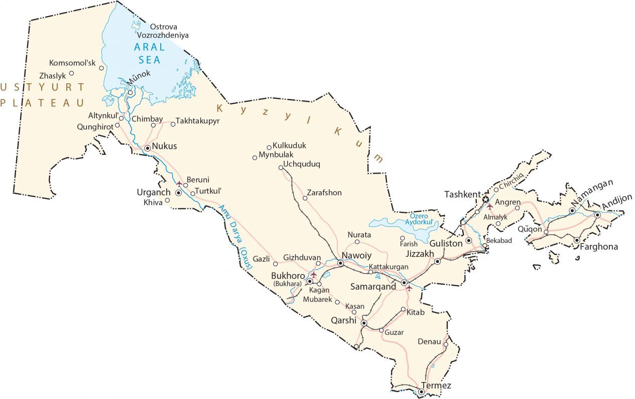
Uzbekistan is a country located in Central Asia. This Uzbekistan map collection shows cities, towns, highways, roads, lakes, and rivers with satellite imagery and an elevation map.
Uzbekistan map collection
You are free to use our Uzbekistan map for educational and commercial uses. Attribution is required. How to attribute?
About the map
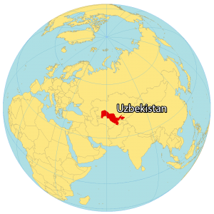
Uzbekistan is a dry, landlocked country in Central Asia with large swaths of deserts. It borders five countries including Kazakhstan to the north, Kyrgyzstan to the northeast, Tajikistan to the southeast, Afghanistan to the south, and Turkmenistan to the southwest.
Tashkent is the capital and largest city of Uzbekistan located in the northeast near the border with Kazakhstan. Other major cities include Samarqand, Fergana, and Namangan.
SATELLITE IMAGERY
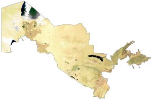
Uzbekistan Satellite Map
Uzbekistan occupies an area of 447,400 square kilometers (172,700 sq mi). In comparison, it’s smaller than Turkmenistan but larger than Morocco. The Aral Sea was once the 4th largest lake in the world in the north of Uzbekistan.
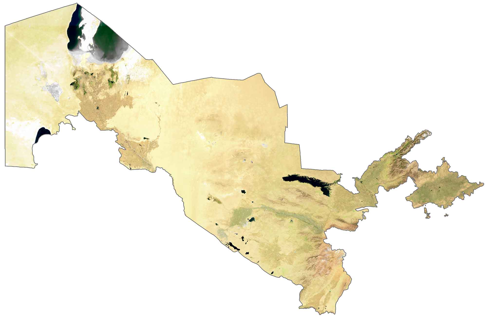
But it is shrinking and has dried up in parts because of diverted water flow from the Soviet Union. Kyzylkum Desert is the 15th largest desert covering the central region of Uzbekistan. Whereas the Ustyurt Plateau is situated to the west. Uzbekistan’s most densely populated region is to the east side of the country.
PHYSICAL MAP
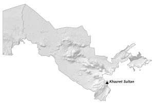
Uzbekistan Elevation Map
Uzbekistan is a mix of plains interspersed with low hills, plateaus, rolling plains, and mountains. For example, the Ustyurt Plateau lies in northwest Uzbekistan between the Aral Sea and the Amu Darya. Directly beside the plateau is the Turan Depression to the east.
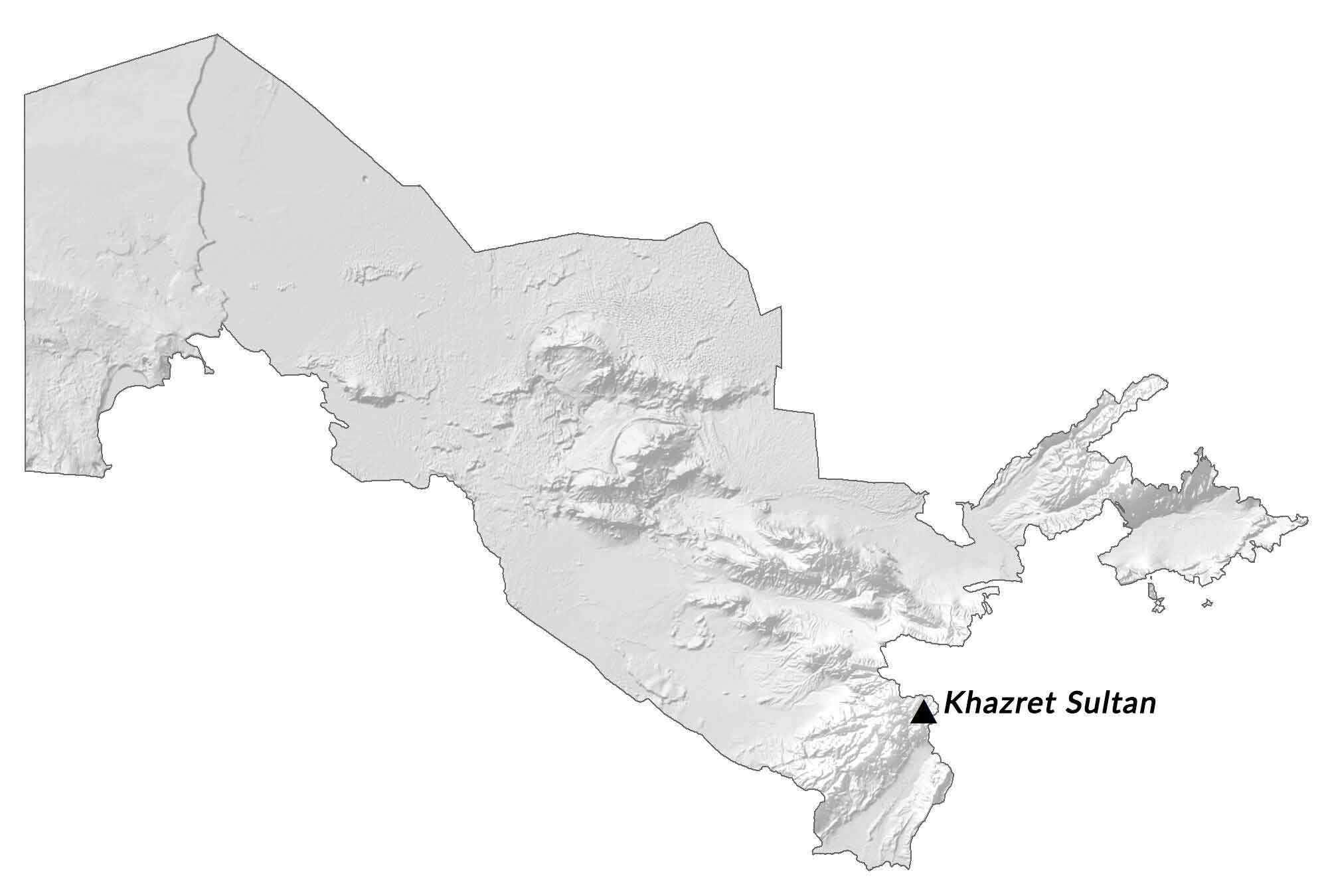
The most elevated region of Uzbekistan is the Gissar Range which stretches into Uzbekistan from Tajikistan. At 4,643 meters (15,233 ft), it is the highest peak in Uzbekistan, which is part of the Gissar Range in the Pamir Mountains.
Capital City
Tashkent
Major cities and towns
Andijon
Bukhoro (Bukhara)
Farghona
Namangan
Nukus
Qarshi
Samarqand
Urganch
Cities, towns and villages
Almalyk
Angren
Bekabad
Beruni
Chimbay
Chimbay Takhtakupyr
COChirchiq
Denau
Farish
Gazli
Gizhduvan
Guliston
Guzar
Jizzakh
Kagan
Kasan
Kattakurgan
Khiva
Kitab
Komsomol’sk
Kulkuduk
Munok
Mubarek
Mynbulak
Nawoiy
Nurata
Qunghiroto
Quqon
Turtkul’
Uchquduq
Zarafshon
Zhaslyk
Lakes, rivers and water features
Amu Darya (Oxus) River
Aral Sea
Aydar Lake (Ozero Aydorkul)
Landforms
Ustyurt Plateau
Kyzyl Kum Desert


