How To Justify GIS Technology in Business
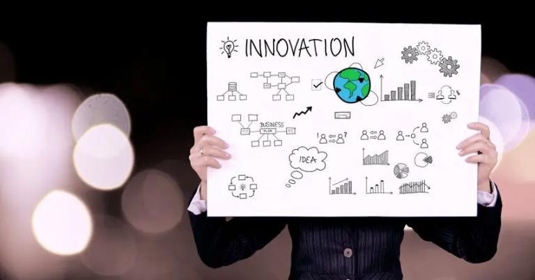
The GIS Business Case
Why should they even consider using GIS at your company? Even CONSIDER it!
They don’t know what GIS is.
They have no idea what it even stands for.
It costs too much.
So this all means that it’s not mission-critical… like IT or HR is in some organizations.
But let’s face it:
We’re not good at making the business case for GIS. And it’s something we have to get better at.
We give you 5 steps to deliver a GIS business case to your organization:
1. What will be the benefits of introducing GIS?
The reality is this:
Because most organizations don’t know what is GIS, they don’t understand how it can benefit them.
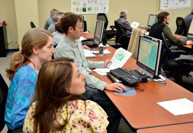
…And since the market has not yet fully matured, even in cases where GIS could be beneficial, it isn’t being utilized.
But this doesn’t have to be the case.
Look at your organization and you’ll realize that people make projects work.
When you start aligning GIS with corporate strategic objectives, you can start making a GIS business case.
- What’s in it for a CEO or company?
- Do corporate objectives match with GIS?
- What are the applications of a GIS?
For example:
Can your organization benefit from asset management like network analysis, optimized routing, site selection, or web mapping applications?
Is any spatial data collected at all? How is it being collected?
Put all the puzzle pieces together and you’re on a journey to empowering people with GIS.
2. What processes will be improved using GIS?
Take a step back for a moment:
It’s time for you to take charge and research how processes can be improved in your organization.
Because why even convert to a GIS, if things are fine as they are.
You can use a horse and carriage or motorized vehicle to get from point A to B. But the latter is faster and cheaper.
The point is this:
Because at your organization, there might be a better way to do things than their current process.
Answer the following questions. How can GIS:
- Save time and money.
- Generate more revenue through automation and speed
- Provide decision support with reliability and precision
- Increase communication and collaboration
These are the questions you have to answer.
Some business cases are more expensive than projects. But if you do it right, you’ll reap all the rewards.
3. What will the costs be for the new GIS?
In GIS, the recurring costs are for things like maintenance, salaries, rent, etc.
The one-time costs are hardware, software, staff training, and other GIS computer components.

An organization wants to know the costs that a GIS system accrues.
GIS software costs eat into the budgets of organizations.
Although overhead costs for commercial GIS software in a GIS department are high, they often provide reliable 24/7 business-class support.
For some organizations, commercial GIS software like ArcGIS and Geomedia just makes more sense.
With that said, open-source GIS software is where the future career growth of GIS can be found.
See the differences between ArcGIS and QGIS – the GIS leaders in commercial and open source software.
4. Will the benefits outweigh the anticipated costs?
Cost-benefit analysis is not unique to GIS.
It’s a common practice to address all the expected costs and benefits in monetary value – as well as alternative options.
A cost-benefit analysis will:
- Justify if GIS is a sound investment
- Provide a basis for comparing projects
But how do you measure intangibles? Efficiency, productivity, quality, and satisfaction. How do you measure the rise in revenue through increased capacity?
“How to Measure Anything” by Douglas W. Hubbard explains how to put a value on almost anything. This book provides practical advice that can be applied to a variety of scenarios.
Last but not least:
What’s the alternative approach? What happens if you ‘do nothing’?
5. GIS Business Case Delivery – The Perfect Pitch
The last step is delivering your GIS business case pitch.
‘The Elevator Pitch’ by Sean Wise explains to you how to give a 2-minute pitch. Why 2 minutes?
Because that’s how long it takes to go from the lobby to the investors on the top floor.
Elevator pitch is broken down into two key elements:
- What problem is it that you are trying to solve?
- Show the value proposition. How does your solution solve that problem?
And the pitch must meet four key tests:
- It must be succinct. After all, it’s just two minutes.
- It must be easy to understand. You can’t give too much tech talk in an elevator pitch.
- It must be greed-inducing. Investors want to make money. And lots of it.
- It has to be irrefutable. If investors have more questions than answers, you have to go back to the drawing board.
Simplify everything.
Deliver the perfect elevator pitch.
Wrapping Things Up
For those who have GIS systems implemented in their organizations, it’s been so ingrained that it’s hard to imagine working without it.
For example, emergency planners need GIS because it helps save lives. But it also helps plan future emergencies and improve preparedness.
GIS integrates with remote sensing, programming (automation), and asset management.
Align these GIS processes with corporate objectives. Reuse existing case studies
Preach this and the need for a GIS to an organization’s stakeholders will be irrefutable.
And in the end, executives are just people too… who want to benefit from a GIS too.






GIS is best way of consuming real-world than the IT (RDBMS/BI). It should interface with Postal Internet for logistics. Postal Internet (Internet of Remote Sensing and Remote Action) is a Utopian concept of connecting different addressable habitats (zones) of the Universe for pickup and delivery of remote sensing information.
The remote actions will be summarized activity in W3C RDF format generated by the IT thought process. The remote action is also a GIS data like remote sensing. Both remote sensing and remote action should use W3C RDF vocabulary when GIS interfaces with Postal Internet. The reference scale should be of metric units or relative units but not the indexed data like coordinates(spherical lat/long).
A Habitat is a zone like a farm or school or some “plant tissue” that has a real world reference. I also like GIS to be taught as course in early part of any degree course so that students can see their subject from GIS lens too.
Great article, clinical and to the point, although I do think that your statement that “open-source GIS software is where the future career growth of GIS can be found” is surely blending in a subjective viewpoint? OK, I am part of the Esri family, and proud of it too, but I can see nothing but career growth for myself and my peers/colleagues within that family and extended network!
My view, and it is only my view, is that such statements do nothing but fuel the fire of open source vs. closed source, when there is in fact merit in both, and it would appear to me that there is increasing evidence for following a hybrid approach (much as Esri themelves are doing, and promoting – see http://www.esri.com/software/open and http://www.esri.com/software/open/open-source).
I guess I’d be more inclined to say that future career growth lies where there is opportunity, rather than between alternative software licencing approaches.
But again, thanks for a really useful article, I will use it often!