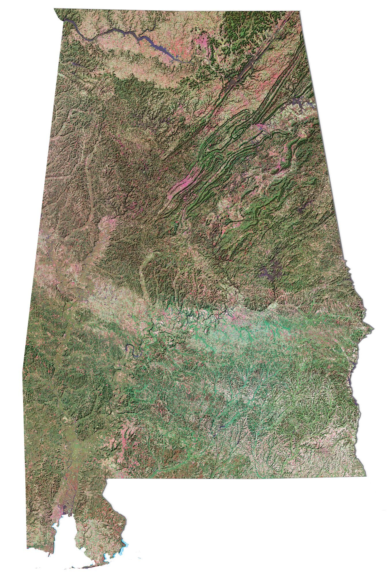
Alabama State Map – Places and Landmarks
About the map
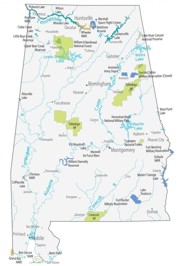
The map shows major landmarks and places in Alabama. These include national forests, preserves, and wildlife refuges. When you’re on a road trip, this map can be like your guide for places and sites to see in combination with our road map of Alabama.

The Natchez Trace Parkway is a 444-mile scenic drive that passes through Tennessee, Mississippi, and Alabama. The drive takes about 5 hours to complete and passes through beautiful terrain on your journey through Alabama. Next, Little River Canyon National Preserve is in northeast Alabama. It is filled with waterfalls and has some of the cleanest water in the country.
The Talladega National Forest is separated into two areas between the Coosa River. Altogether, the total forest occupies an area of 613.39 square miles (1,589 square kilometers). The forest is at the southern edge of the Appalachian Mountains. There, you can view lovely waterfalls and nature trails.
Alabama map collection

You are free to use our map of Alabama for educational and commercial uses. Attribution is required. How to attribute?
Federal lands
National Forests (NF)
Conecuh NF
Talladega NF
Tuskegee MF
William B. Bankhead NF
National Wildlife Refuge (NWR)
Bon Secour NWR
Choctaw NWR
Eufaula NWR
Grand Bay NWR
Wheeler NWR
Wilderness
Cheaha Wilderness
Dugger Mountain Wilderness
Sipsey Wilderness
Other Landmarks
Natchez Trace Parkway
Alabama National Cemetery
Mount Cheaha
Little River Canyon National Preserve
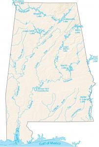
Alabama lakes and reservoirs
Lakes
Guntersville Lake
Pickwick Lake
Wheeler Lake
Reservoirs
Cedar Creek Reservoir
Little Bear Creek Reservoir
Upper Bear Creek Reservoir
Army, naval and military
Anniston Army Depot
Barin Naval Outlying Field
Cairns Army Airfield
Fort Benning
Fort Rucker
Maxwell Air Force Base
Redstone Arsenal
Horseshoe Bend National Military Park
Summerdale Naval Outlying Field
State capital
Montgomery
Cities, towns and villages
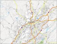
Birmingham
Huntsville
Mobile
Auburn
Bessemer
Decatur
Dothan
Florence
Gadsden
Madison
Phenix City
Prichard
Tuscaloosa
Hoover
Homewood
Alexander City
Andalusia
Athens
Atmore
Bay Minette
Brewton
Chickasaw
Clanton
Demopolis
Elba
Enterprise
Eufaula
Evergreen
Fayette
Fort Payne
Greenville
Guntersville
Haleyville
Jasper
Lanett
Marion
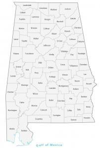
City Maps of Alabama
References
Government of Alabama (Official Website)
USGS National Map Viewer