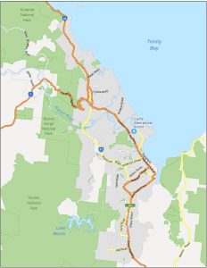
Map of Cairns, Australia
Many people consider Cairns as an entryway to Australia’s Great Barrier Reef. But it’s much more than that. Use our Cairns map collection.
Many people consider Cairns as an entryway to Australia’s Great Barrier Reef. But it’s much more than that. Use our Cairns map collection.
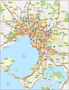
View our Melbourne map collection, which includes a highway map, a neighborhood map, an interactive map, and an attractions map.
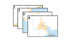
Like a modern-day mechanical mapping machine, you can automate your map output. We explain how to create mapbooks with this QGIS Atlas tutorial.
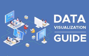
Data visualization serves not only as a tool for insightful analysis but also as a powerful means to communicate complex information.
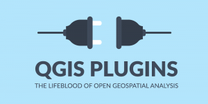
If you’ve ever used QGIS before, you’ll know that QGIS plugins are a centerpiece to its success to help visualization, analysis, and editing.
Programming certification is essential for those who want to advance their careers, be competitive in the market, and stay ahead of the curve.

Love data? Love learning how to collect and process it at scale? Neither do I. Just kidding! Learn about data engineering as a career.
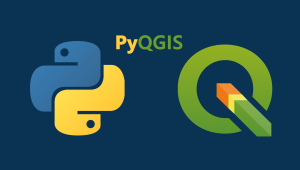
PyQGIS refers to the Python environment within QGIS. It allows users to automate workflow and extend QGIS with the use of Python libraries.
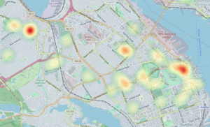
The following guide will provide you with instructions for creating QGIS heat maps and show some examples of how to use heat maps in GIS.
If you want to find the latitude and longitude of anywhere with your mobile phone, this list of GPS coordinate apps will help you get started.