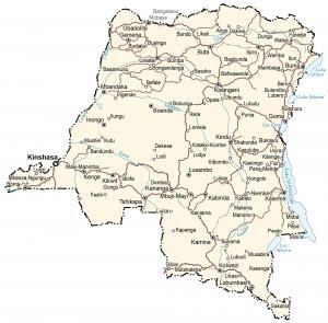
Democratic Republic of Congo Map
This Democratic Republic of Congo map (DR Congo and formerly Zaire) contains major cities, towns, roads, imagery, and topography.
This Democratic Republic of Congo map (DR Congo and formerly Zaire) contains major cities, towns, roads, imagery, and topography.
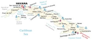
A Cuba map (Republic of Cuba) that shows major cities, towns, roads, elevation, and satellite imagery with its various smaller archipelagos.
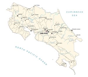
A Costa Rica map with major cities, towns, roads, elevation, and satellite imagery. Costa Rica is a small country located in Central America.
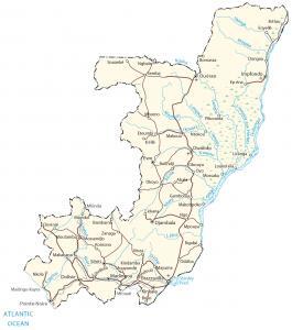
This Congo map displays cities, towns, roads, elevation, and imagery -The Republic of Congo (or simply Congo) is located in central Africa.
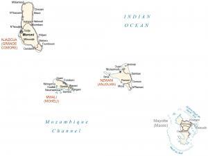
This Comoros map displays populated places, airports, and roads. Comoros is an island country in southeast Africa in the Indian Ocean.
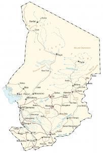
This Chad map (Republic of Chad) contains major cities, towns, roads, elevation, and imagery. Chad is the fifth largest country in Africa.
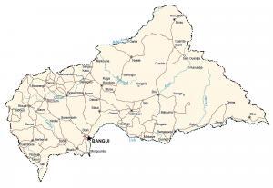
This Central Africa Republic map displays major cities, towns, roads, elevation, and imagery – a landlocked country in central Africa.
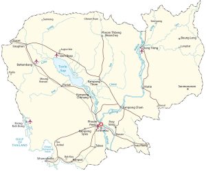
A Cambodia map – Cambodia is located in the southeast region of Asia next to Thailand, Vietnam, and the Gulf of Thailand.
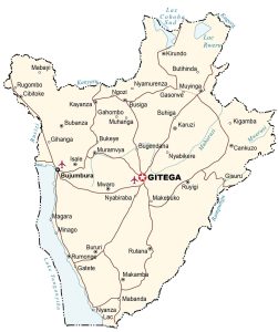
This Burundi map displays major cities, towns, roads, elevation, and satellite imagery. Burundi is located in east-central Africa.
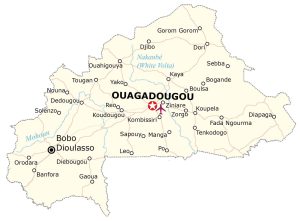
This Burkina Faso map displays major cities, towns, roads, elevation, and satellite imagery – Burkina Faso is located in Western Africa.