Botswana Map and Satellite Imagery
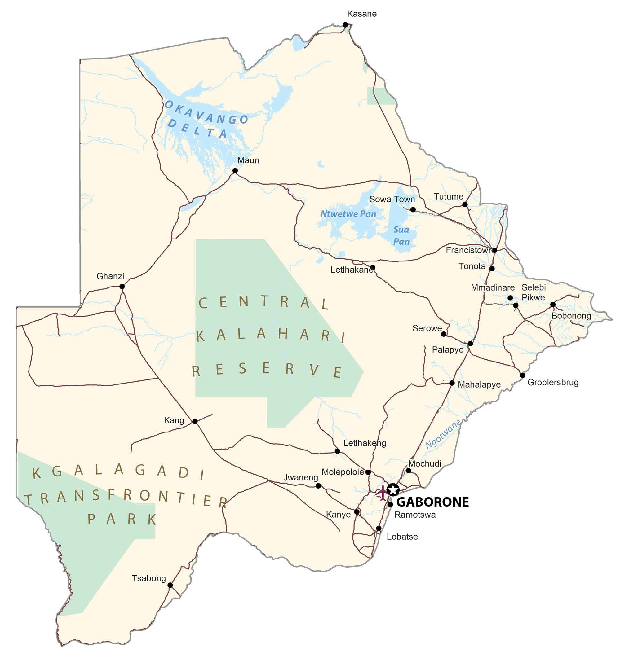
This Botswana map shows its diverse geography such as the Kalahari Desert and Okavango Delta. It includes major cities, towns, rivers, and lakes with satellite imagery and an elevation map of Botswana.
Botswana map collection

You are free to use our Botswana map for educational and commercial uses. Attribution is required. How to attribute?
About the map
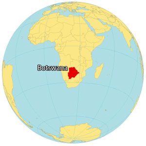
Botswana is a landlocked country located in the southern part of Africa. Altogether, it borders 4 other countries.
First, Namibia wraps around Botswana from the west all around to the north. It also borders Zimbabwe and South Africa to the northeast and southwest.
Finally, at the northeast tip of Botswana, it connects to Zambia across the Zambezi River from the Kazungula Bridge. Gaborone is Botswana’s capital and largest city.
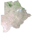
SATELLITE IMAGERY
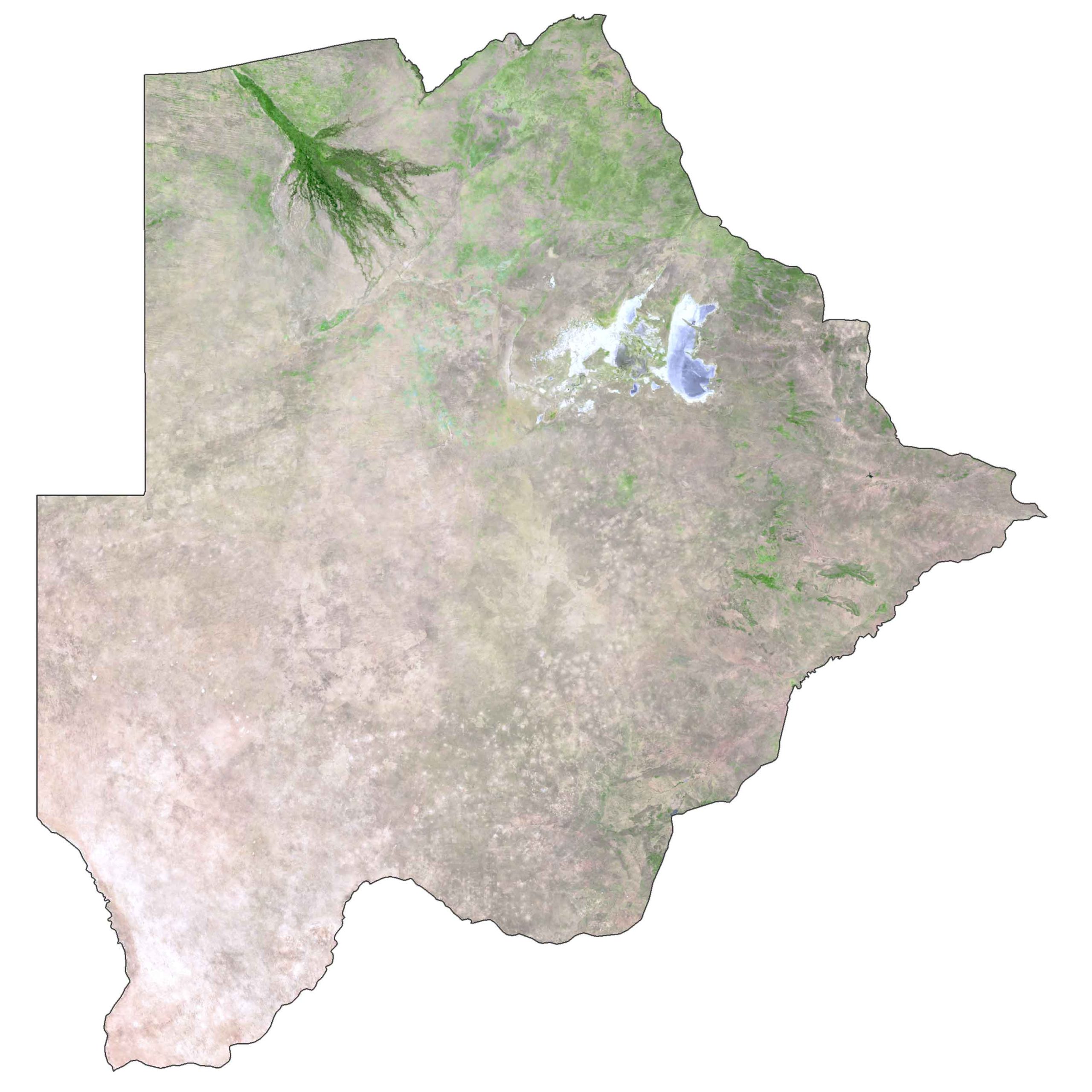
Botswana Satellite Map
The Kalahari Desert is a defining feature of Botswana covering as much as 70% of its landmass. The Okavango Delta is the other key feature of Botswana in the northern region. During periods of flooding, its lush vegetation becomes home to vegetation and animal habitat.
The total land area of Botswana is 581,730 square kilometers (224,610 sq mi), which is almost identical in size to Kenya.
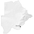
PHYSICAL MAP
Botswana Elevation Map
Botswana is mostly flat with the Kalahari Desert covering more than 70% of the territory. But it does have several hills including the Kgale, Monalanong, and Tswapong Hills. At 1,491 meters (4,891 ft), its highest point is Otse Hill located in the southeast corner close to its border with South Africa.

Capital City
Gaborone
Major cities and towns
Francistown
Mogoditshane
Maun
Molepolole
Serowe
Palapye
Mochudi
Mahalapye
Towns and villages
Ghanzi
Kang
Kasane
Letlhakane
Tsabong
Letlhakeng
Bokaa
Mmopane
Jwaneng
Thamaga
Moshupa
Kanye
Sowa Town
Tutume
Tonota
Mmadinare
Selebr
Pikwe
Bobonong
Groblersbrug
Kopong
Ramotswa
Lobatse
Lakes, rivers and deltas
Okavango Delta
Ntwetwe Pan
Sua Pan
Ngotwane River
Geographic features
Central Kalahari Reserve
Kalahari Desert
Otse Hill (Highest Point)