Burkina Faso Map
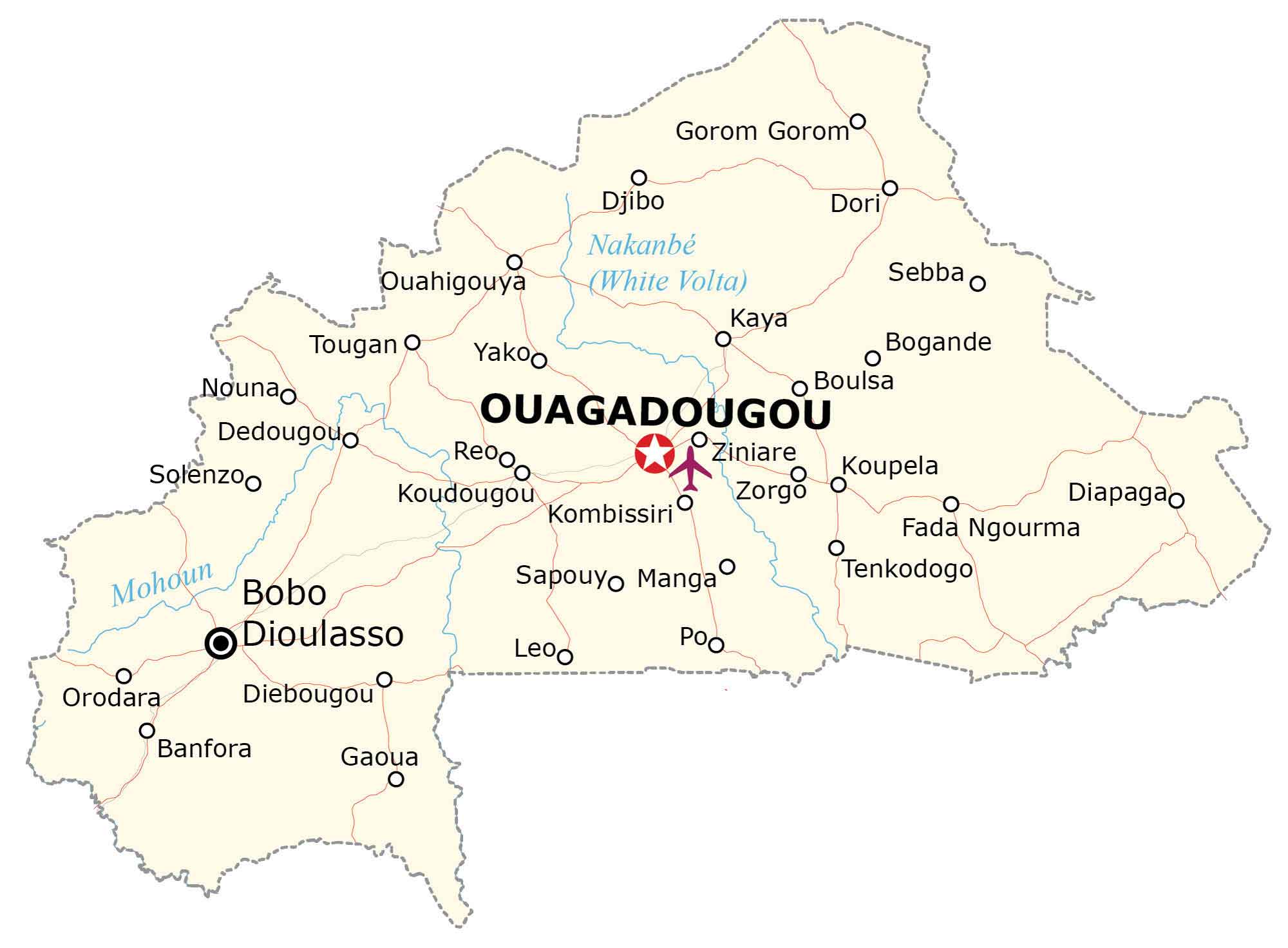
This Burkina Faso map contains major cities, towns, rivers, and highways. It includes an elevation map and satellite imagery of the country that’s a part of Western Africa.
Burkina Faso map collection

You are free to use our Burkina Faso map for educational and commercial uses. Attribution is required. How to attribute?
About the map
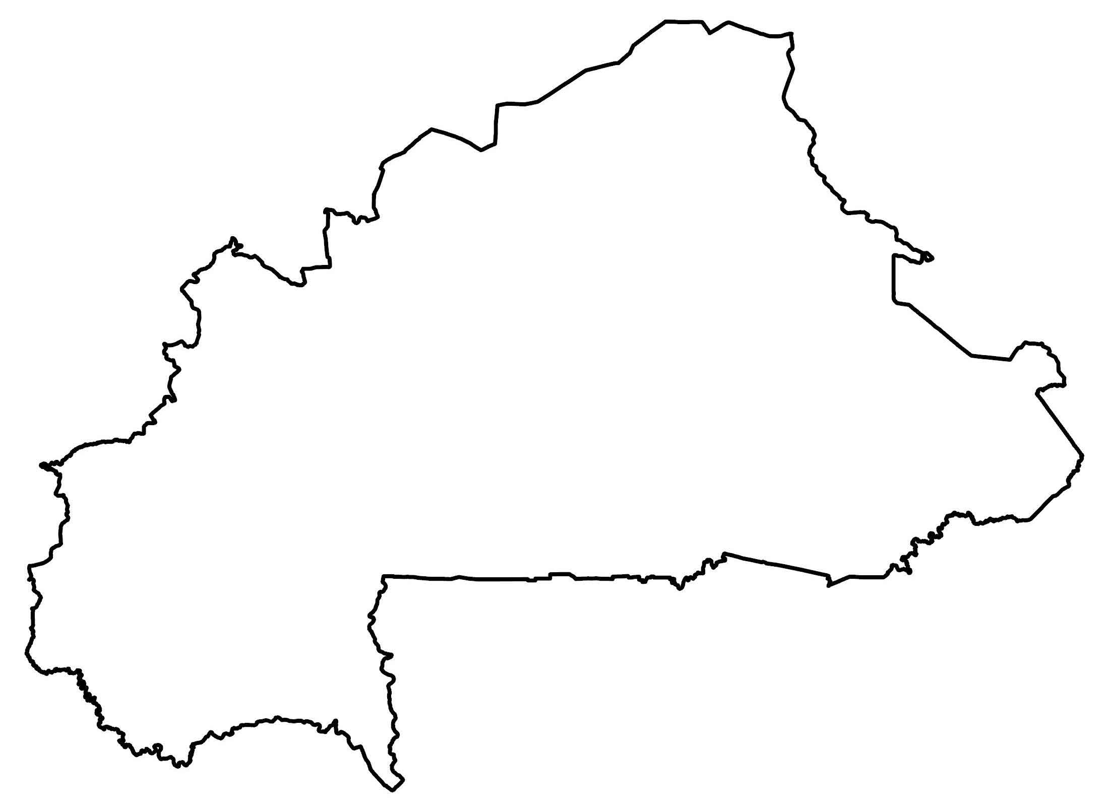
Burkina Faso is a landlocked country located in Western Africa. It borders Mali to the northwest, Niger to the northeast, as well as Benin, Togo, Ghana, and the Ivory Coast to the south. Approximately 21.4 million people live in Burkina Faso.
Ouagadougou is the capital and largest city with about 2.5 million who live there. Burkina Faso was previously known as the Republic of Upper Volta until 1984 when the country changed its name to its current one.
SATELLITE IMAGERY
Burkina Faso Satellite Map
Burkina Faso occupies an area of 274,200 square kilometers (105,900 sq mi). This makes it slightly larger than Gabon but smaller than the Ivory Coast. Burkina Faso’s climate is mostly tropical with two distinct seasons.
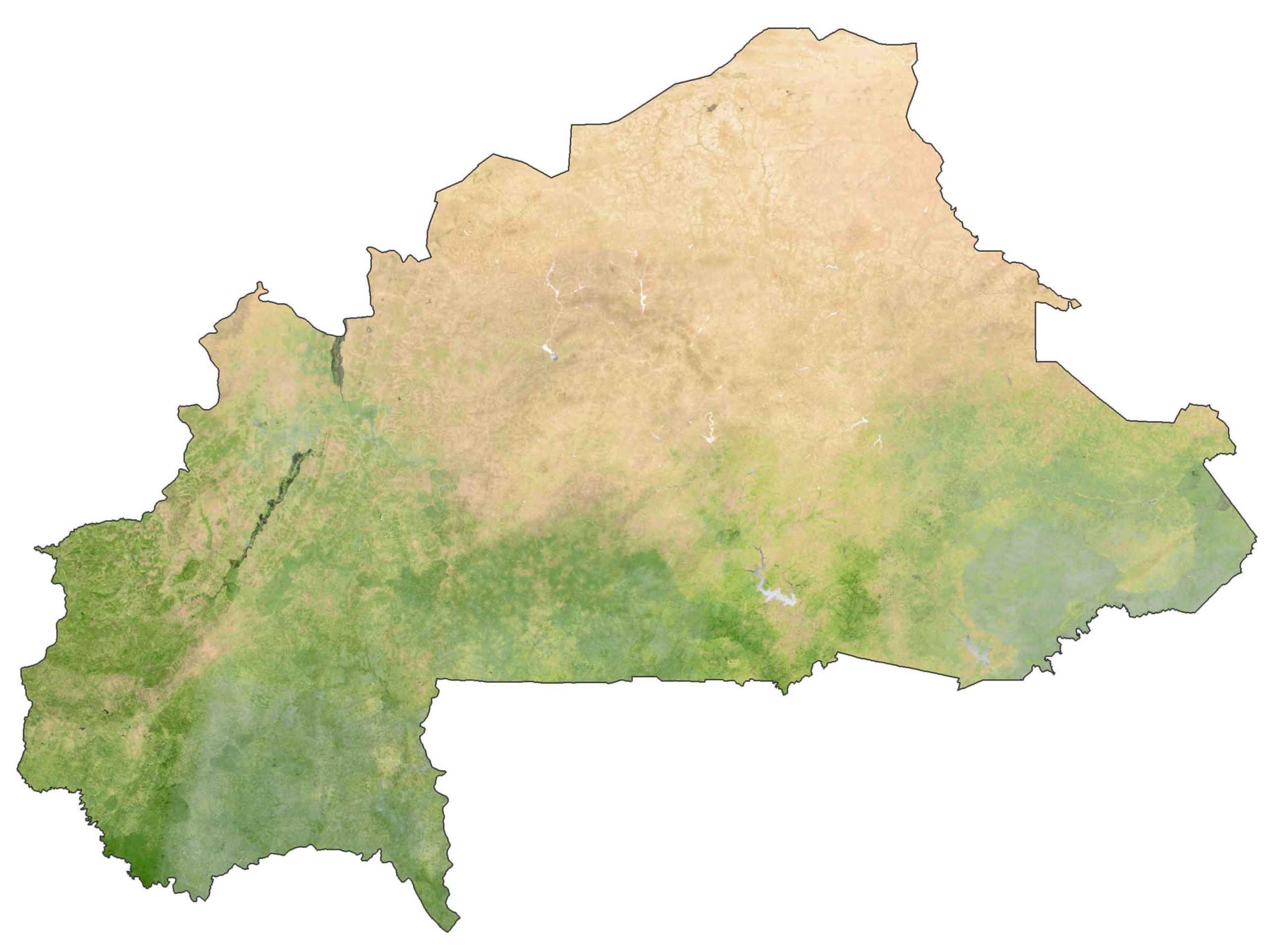
First, the rainy season occurs from June to September. Whereas the humid and dry season is for the remainder of the year. Water shortages are an environmental concern in the northern region of the country.
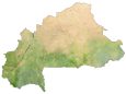
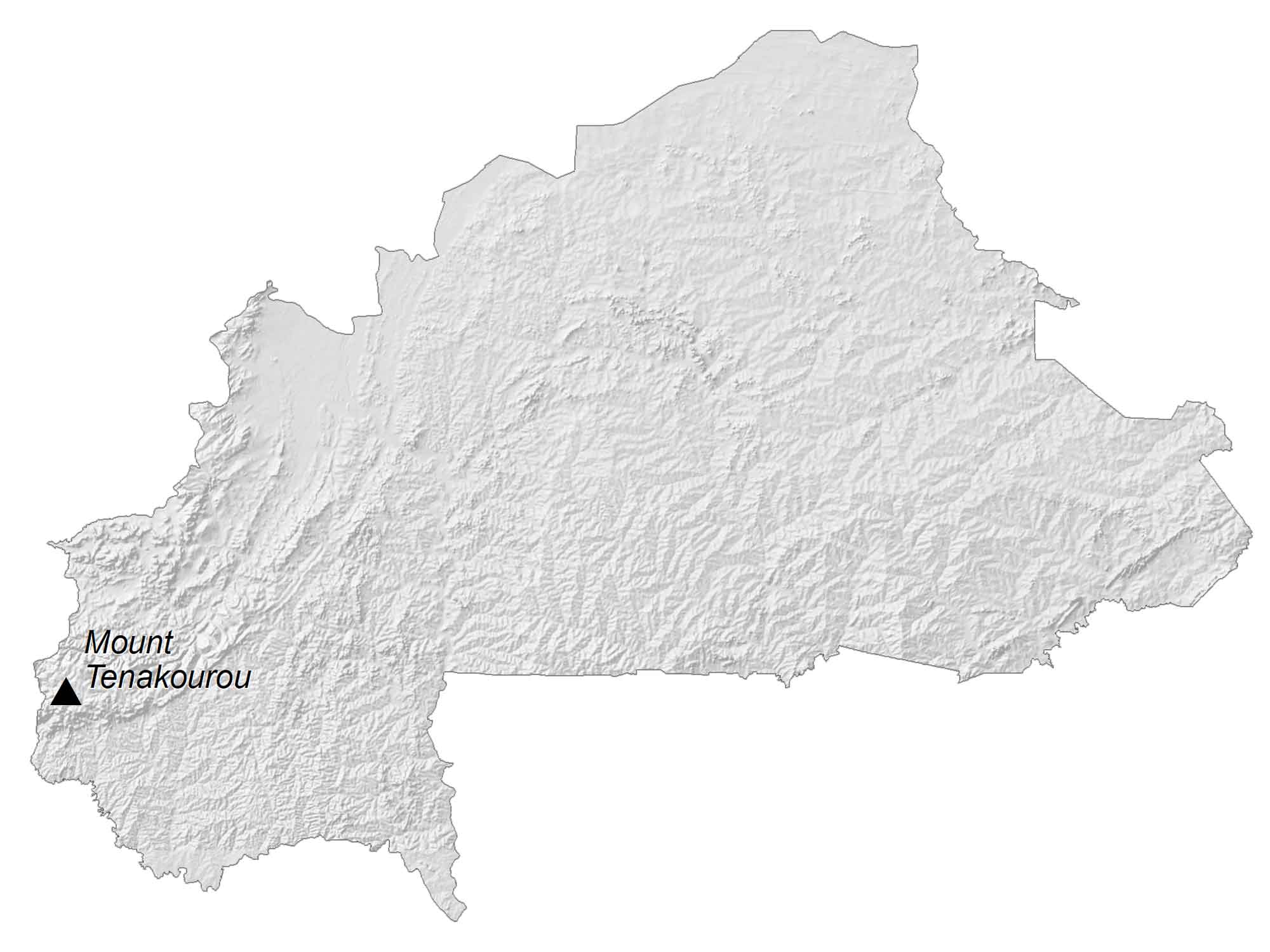
PHYSICAL MAP
Burkina Faso Elevation Map
The terrain of Burkina Faso is mostly flat with a savanna plateau throughout the interior. Then, it transitions to undulating plains and hills to the west. At 747 m (2,451 ft), its highest peak is Mount Tenakourou. This hill is situated on Burkina Faso’s Paleozoic sandstone massif in the southwest.
Capital City
Ouagadougou
Major cities and towns
Bobo Dioulasso
Koudougou
Kaya
Ouahigouya
Banfora
Dedougouo
Djibo
Towns and villages
Gorom Goromo
Nakanbé
Dori
Sebba
Tougan
Yakoo
Bogande
Boulsa
Nounao
Solenzoo
Reooo
Ziniare
Koupela
Zorgo
Diapagao
Kombissiri
Fada
Ngourma
Sapouyo
Manga
Tenkodogo
Po
Leo
Orodara
Diebougou
Gaoua
Rivers
White Volta River
Mohoun River
Mountains
Mount Tenakourou


