Burundi Map and Satellite Image
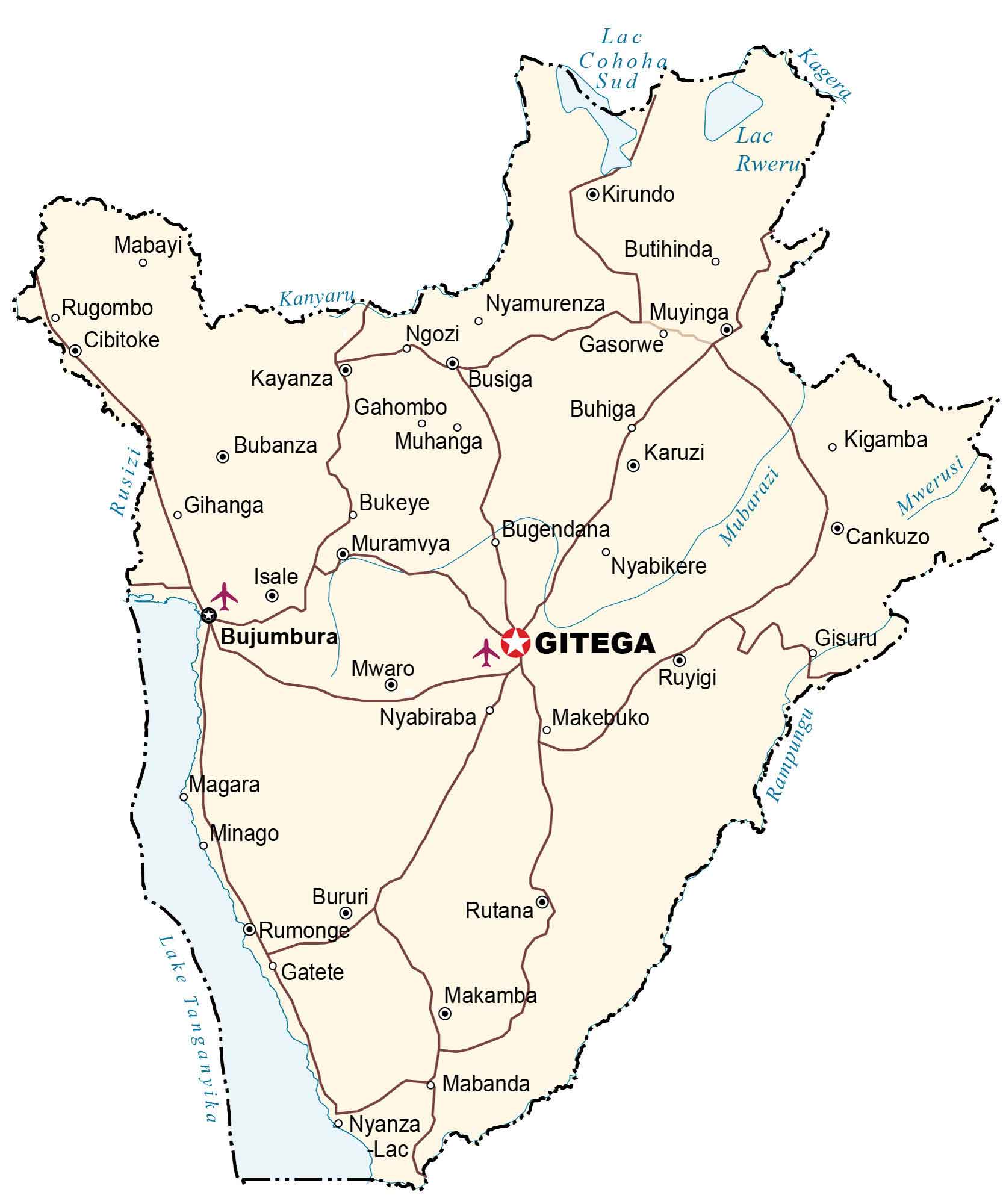
This map of Burundi displays major cities, towns, rivers, lakes, and roads. Also, an elevation map and satellite imagery show the topography and landscape of Burundi.
Burundi map collection

You are free to use our Burundi map for educational and commercial uses. Attribution is required. How to attribute?
About the map
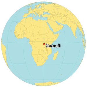
Burundi is a landlocked country located in east-central Africa. It’s one of the smallest African nations at 27,834 square kilometers (10,747 sq mi). This makes it smaller than Equatorial Guinea but larger than Rwanda.
Burundi borders 3 other countries including the Democratic Republic of Congo to the west, Tanzania to the east, and Rwanda to the north. The capital city of Burundi is Gitega. But Bujumbura is the economic capital and the largest city.
There are approximately 11.6 million people who live in Burundi. It’s also one of the ten poorest countries in the world with a history of civil war, corruption, and HIV/AIDS transmission.
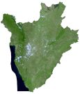
SATELLITE IMAGERY
Burundi Satellite Map
Burundi is rich in lakes such as the African Great Lake Tanganyika which forms a border to the west with the Democratic Republic of Congo. Not only is it the largest lake in Burundi, but it’s also the second-largest freshwater lake in the world by volume. Its other major lakes are Lake Rweru, Cyohaha, and Kanzigiri all in the northern region.
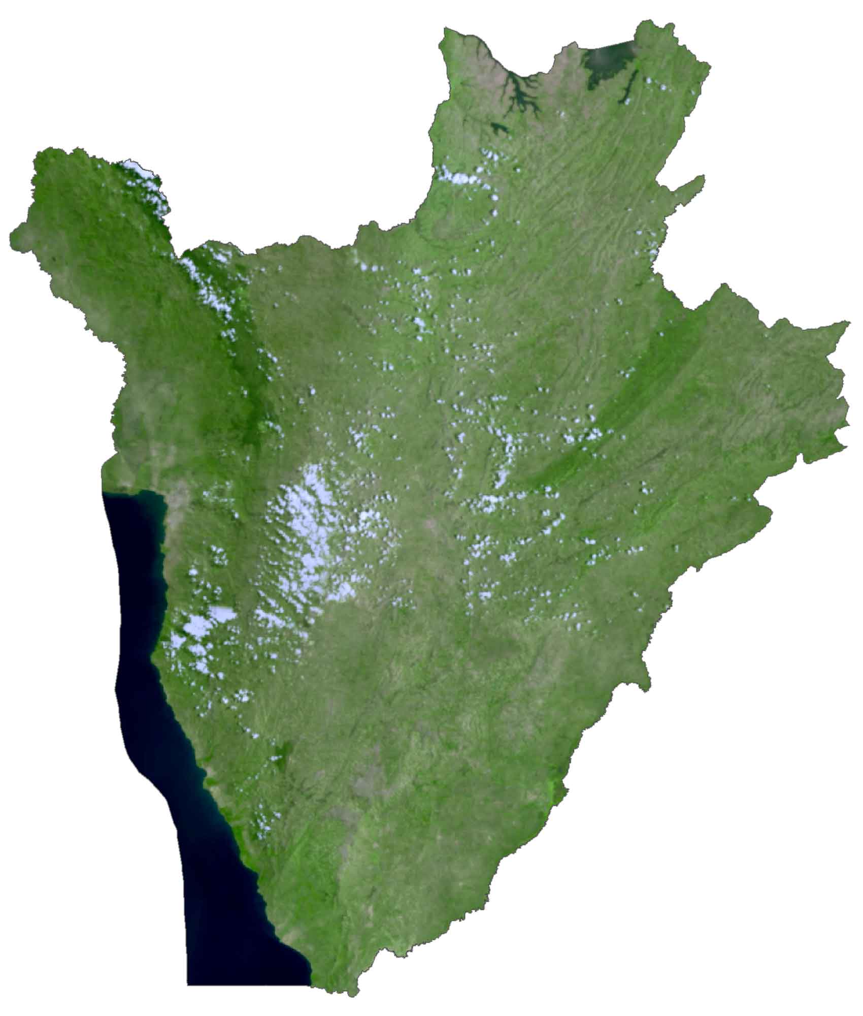
Burundi is also the source of the 4,258 miles (6,853 kilometers) long Nile River. It all starts here in Burundi and ends in Egypt flowing to the Mediterranean Sea. Although Burundi doesn’t have any deserts, forests cover about 7% of Burundi like the wooded Mitumba Mountains in the west.
PHYSICAL MAP
Burundi Elevation Map
The terrain in Burundi is mostly hilly and mountainous with the Great Rift Valley as one of its major topographic features. The rifting process caused freshwater to drain into the valley, forming Lake Tanganyika to the west of Burundi.
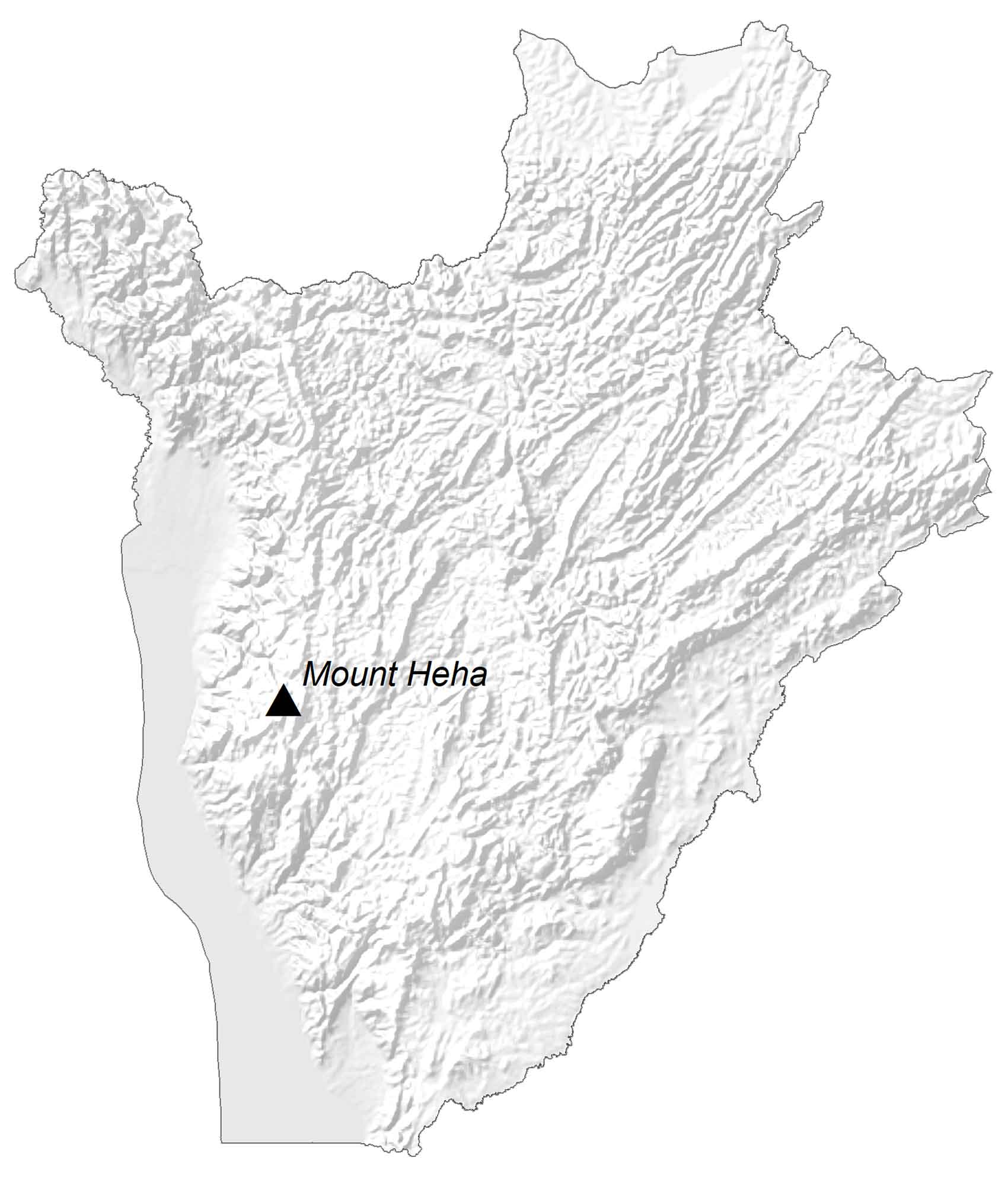
It includes the long and narrow plains along the Rusizi River and the belt of the foothills. Another geographic region is the Burundi Highlands mountain range, which contains Mount Heha. At 2,685 m (8,810 ft), it’s positioned southeast of the economic capital, Bujumbura, and is the highest peak in Burundi.
Capital City
Gitega (Political Capital)
Bujumbura (Economic Capital)
Major cities and towns
Ngozi
Kirundo
Muyinga
Kayanza
Muyinga
Muhanga
Karuzi
Mwaro
Ruyigi
Makamba
Bururi
Rutana
Nyanza
Cities, Towns and villages
Mabayi
Rugombo
Cibitoke
Butihinda
Nyamurenza
Gasorwe
Busiga
Gahombo
Buhiga
Bubanza
Gihanga
Bukeye
Bugendana
Muramvya
Nyabikere
Isale
Nyabiraba
Makebuko
Magara
Minago
Mabanda
Rampungu
Kigamba
Cankuzo
Gisuru
Lakes and rivers
Lake Tanganyika
Lac Cohoha Sud
Lac Rweru
Mubarazi River
Kagera River
Mwerusi River
Rusizi River
Kanyaryu River