Congo Map – Roads and Cities
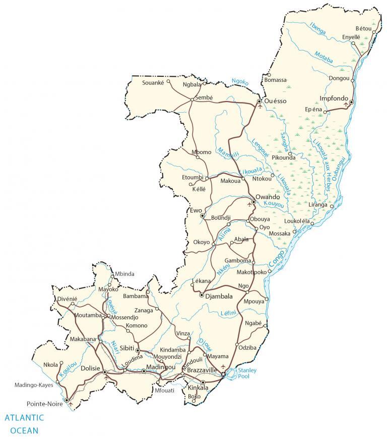
This Congo map (Republic of Congo) displays its major cities, towns, and roads. It includes an elevation map and satellite imagery to view the Congo River and Congo Basin.
Congo map collection

You are free to use our Congo map for educational and commercial uses. Attribution is required. How to attribute?
About the map
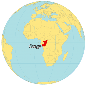
The Republic of Congo (also known as the Congo) is located in west-central Africa, along the equator between 4°N and 5°S latitude. It’s not completely landlocked because Congo has a 169 kilometers (105 mi) coastline with the Atlantic Ocean.
Brazzaville is the capital and largest city in the southeast corner of the country. Approximately 5.4 million people live in the Republic of Congo and its official language is French.
Congo borders Gabon to the west, Cameroon to the northwest, the Central African Republic to the north, the Angola exclave of Cabinda to the southwest, and DR Congo to the east, separated by the Congo River.
SATELLITE IMAGERY
Congo Satellite Map
The Republic of Congo occupies an area of 342,000 square kilometers (132,000 sq mi), which makes it larger than the Ivory Coast but smaller than Zimbabwe. Although deforestation is a growing problem, the Republic of Congo still has one of the highest forest integrity indexes in the world.
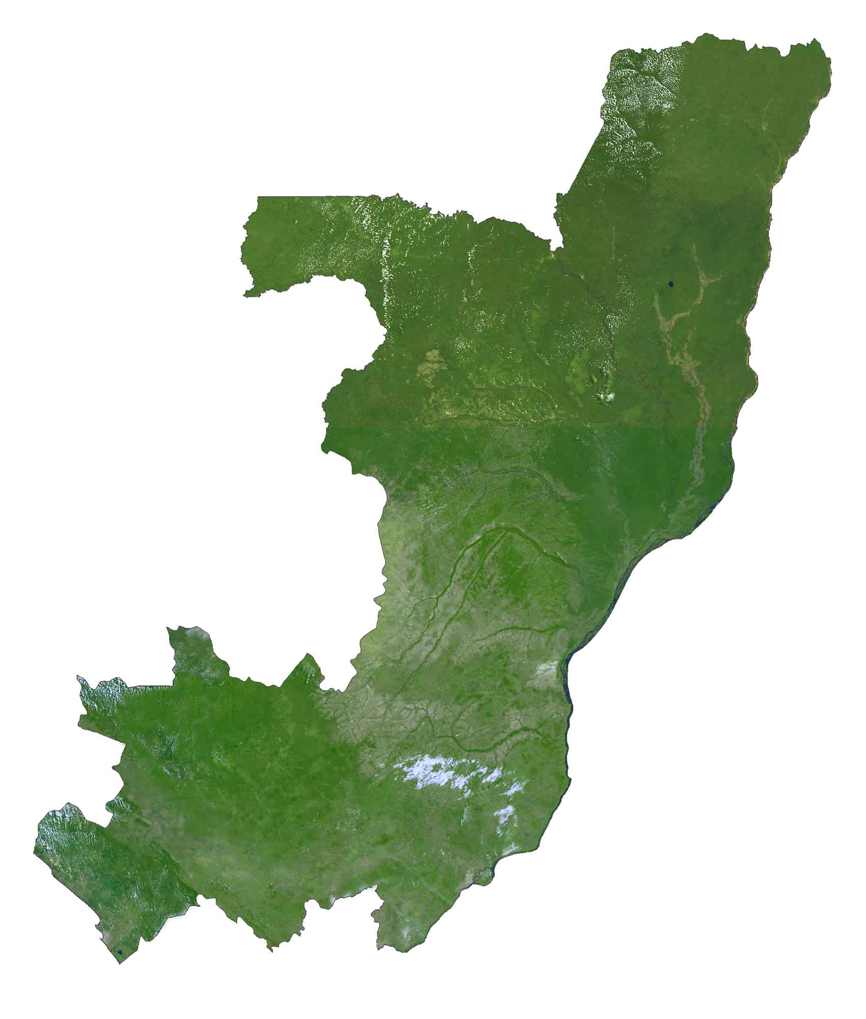
It’s part of the Congo Basin, which contains the world’s second-largest rainforest, behind the Amazon Rainforest. The Congo River is the second-longest river in Africa, after the Nile. This river separates it from the Democratic Republic of Congo, including the two country’s capitals of Brazzaville and Kinshasa.
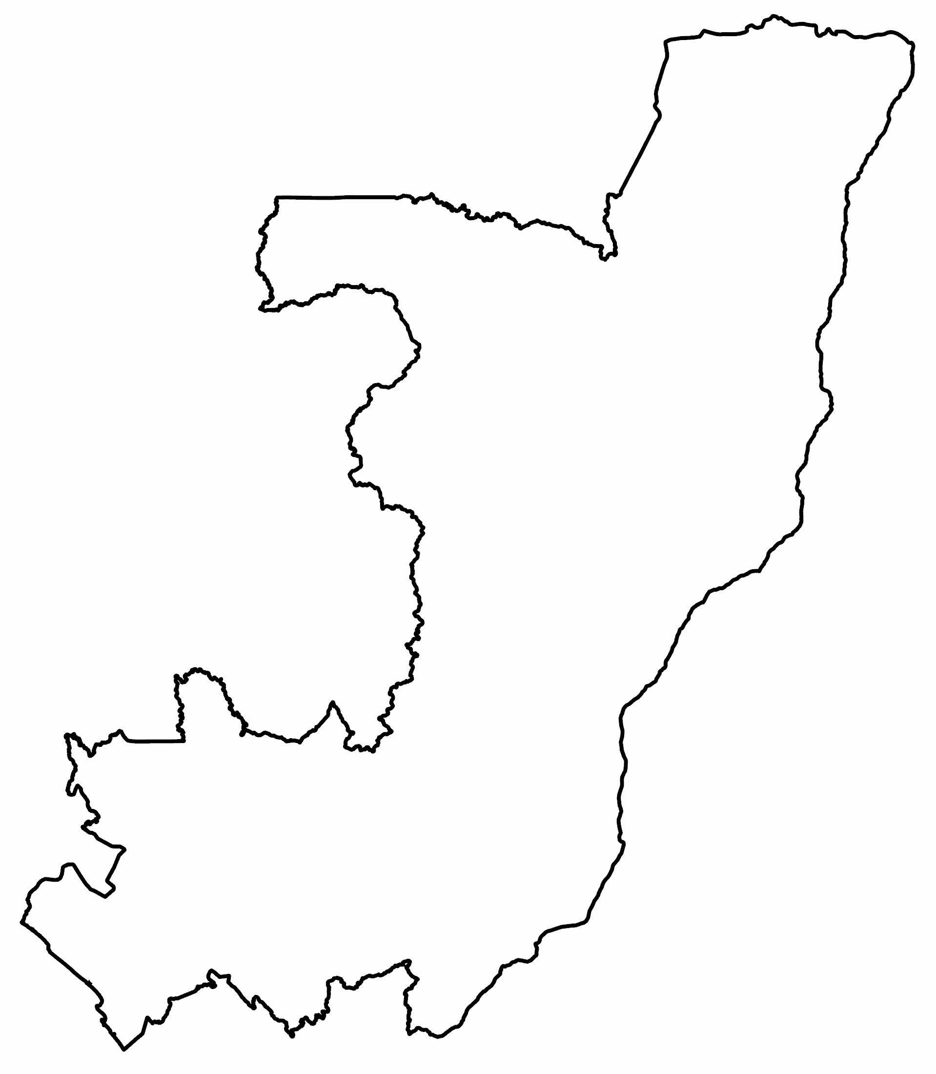
PHYSICAL MAP
Congo Elevation Map
The physical geography of the Republic of Congo is diverse with a range of geographic regions. For instance, it consists of coastal plains, mountainous areas, a central plateau, and fertile valleys.

One of its most notable mountain ranges is the low-lying Mayumbe Mountains, which run from the mouth of the Congo River to the north. Within this mountain range, Mont Nabemba is the Republic of Congo’s highest peak at 1,020 m (3,350 ft) in height.
Capital City
Brazzaville
Major cities
Djambala
Dolisie
Ewo
Impfondo
Kinkala
Ouésso
Pointe-Noire
Cities and towns
Abala
Bambama
Bétou
Dongou
Enyellé
Etoumbi
Kéllé
Kindamba
Komono
Kouilou
Kouyou
Lékana
Liranga
Loudima
Madingo-Kayes
Makabana
Makoua
Mamp
Mayoko
Mbomo
Mbinda
Mfouati
Mindouli
Mongoumba
Mossaka
Mossendjo
Mpouya
Moutamba
Ngbala
Nkola
Odziba
Okoyo
Owando
Oyo
Pikounda
Quéssé
Sembé
Sibiti
Vinza
Zanaga
Lakes, rivers and creeks
Alima River
Congo River
Ibenga River
Likouala aux Herbes
Likouala River
Motaba River
Niari River
Ngoko River
Nkéni River
Oubangui River
Stanley Pool