How to Make a Map in QGIS
Everyone’s looking for the “easy button”. If you want to know how to make a map using GIS for free, I have your “easy button”. using QGIS and Natural Earth.
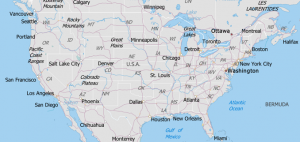
Everyone’s looking for the “easy button”. If you want to know how to make a map using GIS for free, I have your “easy button”. using QGIS and Natural Earth.

How well do you know GIS formats? This list lets you know all the geospatial data formats that GIS technicians manage, and share data.
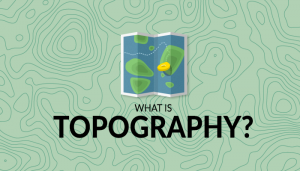
Topography lays the underlying foundation of the Earth’s surface. In this comprehensive guide, you’ll learn everything about topography and topographic maps.
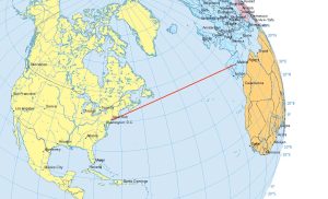
Airplanes travel along the true shortest route in a 3-dimensional space. This curved route is called a geodesic or great circle route.
Metadata is like an instruction manual for data. It describes who, what, when, where and why for data. At the same time, it has to be detailed & dependable.

Esri Collector and Survey123 are the one-two punch for data collection in the field. Collector is the central app which calls Survey123 forms for data entry
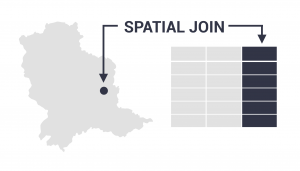
The spatial join tool inserts the columns from one feature table to another based on location or proximity. It can affix one or many fields to the target.
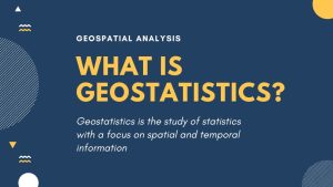
Geostatistics is the study of statistics with a focus on finding patterns of geographic phenomena using variograms, kriging and validation.
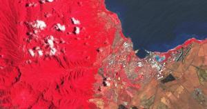
Sentinel 2 has a total of 13 bands. Each band is 10, 20 or 60 meters in pixel size. This includes red, green, blue, near infrared and short infrared bands.
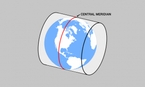
The central meridian is the center line of longitude for projection systems. Projected coordinate systems often use it as a reference point for a x-origin.