How Spatial Join Works in GIS
How Spatial Join Works in GIS
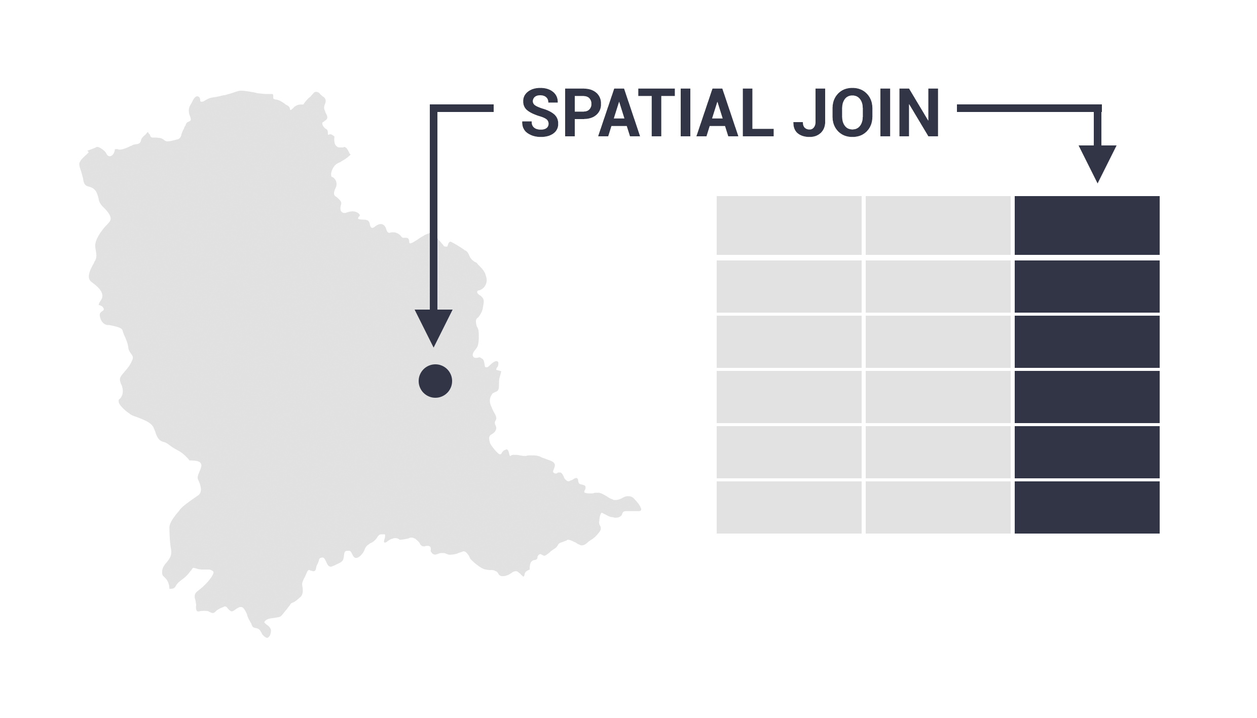
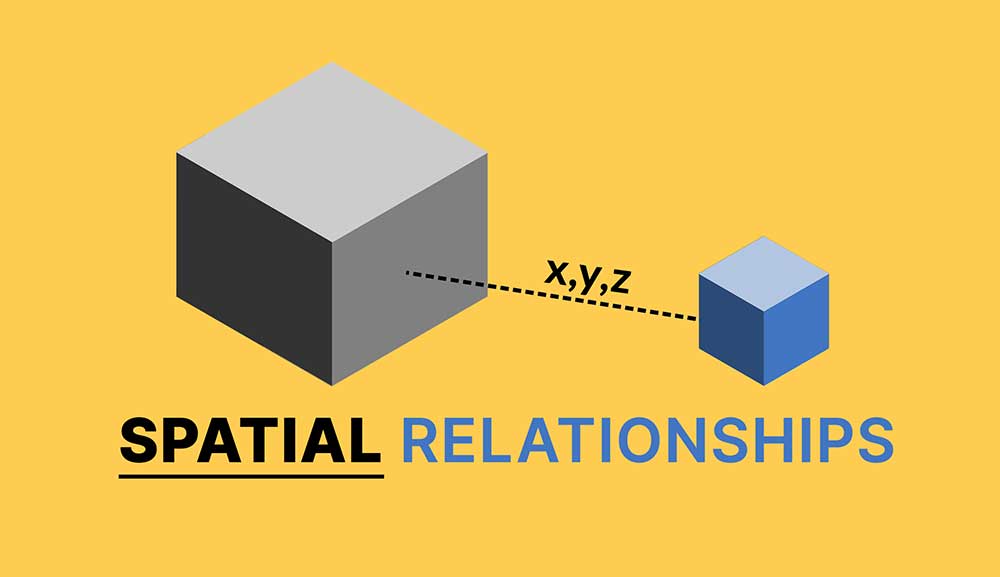
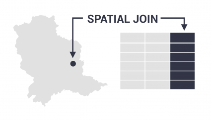
The Spatial Join tool inserts the columns from one feature table to another based on location or proximity.
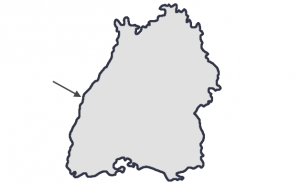
Let’s say you have a set of land parcels. Each land parcel has a point inside of it.
By running a spatial join, you can transfer attributes from the point table columns into the land parcel layer.
So that means that if the points have the owner’s name, this field gets transferred to the land parcels.
Types of Spatial Join
The spatial join tool uses geographic proximity to combine attributes. It moves the columns from the join features to the target features.
Before you run a spatial join, you have to select a spatial join type. That is, the proximity the spatial join will search for.
Based on their spatial relationships, here are the most common spatial join types.
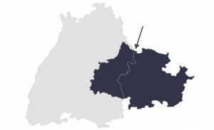
Intersect
Two features touch at any location
Within a distance
Two features are within a set distance
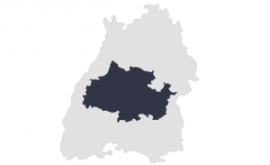
Completely within
The join feature is within the target feature
Identical
Both features match identically
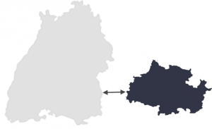
Closest
The join feature is closest to the target feature
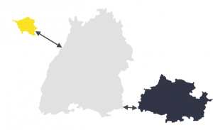
Depending on the spatial join type, it can affix one or several features into the target layer. In this case, you have to pick a “Join” operation that includes one-to-one or one-to-many.
Operations for Joining Features
Let’s say you have multiple features that you want to combine into a target feature. In this case, you’ll have to specify that it’s a one-to-many operation.
A one-to-one operation will join a single feature from the join features into the target features. This is usually the first record the spatial join tool finds.

But a one-to-many operation will join all the features. It does so by creating multiple overlapping records. Each duplicate record contains the records from the joining features.

For example, if you have 1 land parcel. This parcel has 3 points in it with 3 different owners. A spatial join will create 3 identical land parcels. But each record will have the landowner’s name on it.
READ MORE: Relate vs Join: Cardinality for Attribute Tables in ArcGIS
Use Cases and Examples
Spatial join is one of the top 7 geoprocessing tools in GIS. It’s just as common as clipping, buffering, appending, dissolving, and merging.
Here are some examples of practical uses of applying a spatial join:
- Students (points) reside in a school district (polygon) – This tool will transfer the school district name to each student if they are within the polygon.
- Well logs (points) are within a specific watershed (polygon) – You can run this tool to affix the watershed attributes to each well location.
- Every county (polygon) is responsible for maintaining its own roads (lines) – By running this tool, each road segment will add a column for the county it’s in.
So that’s all we have for spatial joining in GIS. What did we miss?
What would you like us to explain better? Please let us know with a comment below.


Very useful tutorial, thank you!
I am trying to join multiple layers to one target layer, a fishnet. I join them each as one to many, and have tried “intersect” and contain. But the fishnet seems to drop all but the most recent layer that I joined. I am using ArcGIS Pro.
It sounds like you need to use the Append Tool. Here’s more details how to use it – https://gisgeography.com/append-tool-gis/