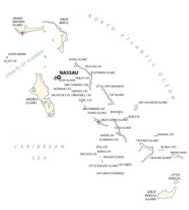
Map of the Bahamas – Islands and Cays
A map of the Bahamas featuring cities and transportation. The Bahamas is a chain of islands in the North Atlantic Ocean southeast of Florida.
A map of the Bahamas featuring cities and transportation. The Bahamas is a chain of islands in the North Atlantic Ocean southeast of Florida.
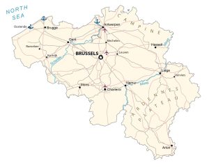
A Belgium map featuring major cites, roads and water – Belgium is in western Europe, along the North Sea, between France and the Netherlands.
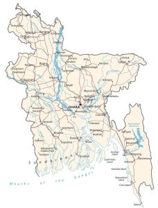
A Bangladesh map with cities, roads and water features – Bangladesh is in southern Asia and borders the Bay of Bengal between Burma and India.
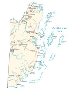
A Belize map with roads, major cities and waterways – Belize is in Central America and borders the Caribbean Sea between Guatemala and Mexico.
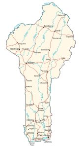
A Benin Map with transportation, major cities and hydrography – Benin is in Western Africa, bordering the countries of Nigeria and Togo.
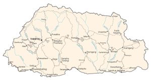
A Bhutan map with cities, roads and hydrgraphy – Bhutan is located in Southern Asia on the Himalayas’ eastern edge, between China and India.
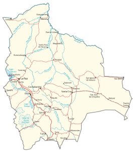
A Bolivia map containing major cities, transportation and hydrography – Bolivia is landlocked in central South America, southwest of Brazil.
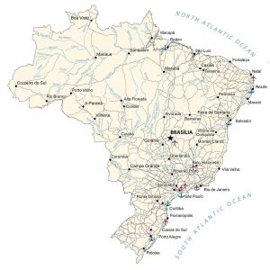
A map of Brazil featuring populated places, transportation and hydrography – Brazil is in eastern South America, bordering the Atlantic Ocean.
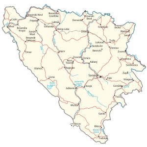
A Bosnia and Herzegovina Map with cities, roads and hydrography – B&H is located in southeast Europe and borders the Adriatic Sea and Croatia.
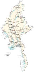
A Burma map featuring cities, roads and water features – Burma is in southeastern Asia bordering Bangladesh, Thailand, China and Thailand.