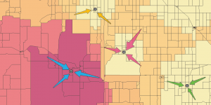
Huff Gravity Model: Store Customer Predictions
Huff Gravity Model uses store size and distance along with census tract population to understand the probability that consumers will patron retail stores.
Huff Gravity Model uses store size and distance along with census tract population to understand the probability that consumers will patron retail stores.
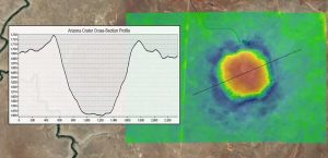
Topographic profiles are cross-sectional views showing elevation along a line with applications in engineering, hydrology, land use planning and more.
Maptitude prides itself as an affordable one-stop shop GIS on the market with a low learning curve. It shines in business and transportation.
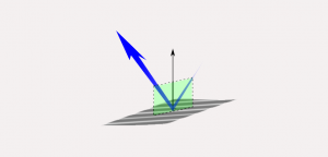
The EM radiation that makes it to Earth is called incident light. From here, Earth’s features reflect, absorb and transmit different amounts of energy.
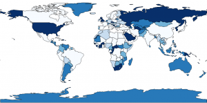
Equal intervals, quantile, natural breaks, pretty breaks- data classification methods generate different choropleth maps. We explain the types of maps here.
Companies, government, and the military embrace GeoMedia because of its solution-driven approach and its ability to extract actionable information.
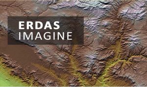
From passive to active remote sensing – photogrammetry to LiDAR, ERDAS Imagine loads you with all the necessary tools for more robust image analysis.
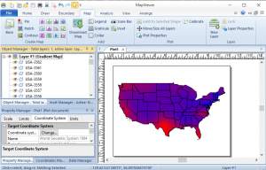
Golden Software MapViewer emphasizes scientific data mapping, modeling, and analysis. But it can also work with various thematic maps.
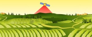
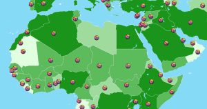
Today’s farmers use sophisticated agriculture technology because they can save time and money. Location-based GIS helps farmers solve the answer ‘where’.
GRASS GIS (Geographic Resources Analysis Support System) is one of the oldest public domain GIS software in existence – over 30 years old.