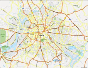
Map of Berlin, Germany
Our Berlin Map collection contains 3 maps in total – a road map, a reference map, and a list of things to do. Download and print them out.
Our Berlin Map collection contains 3 maps in total – a road map, a reference map, and a list of things to do. Download and print them out.

We will show you our Istanbul map collection. This set of 3 maps contains highways/roads, reference information, things to do, and much more.
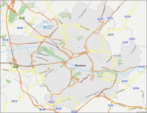
Grab your map and get ready to explore the city known for its Renaissance art and architecture. Download our free Florence map collection.
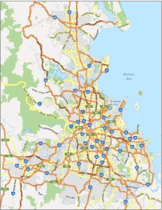
Today, we present to you a Brisbane map collection that brings together key information about the third most populous city in Australia.
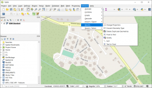
MMQGIS is a QGIS plugin that contains a collection of GIS tools to simplify data manipulation such as geocoding, importing, and exporting.
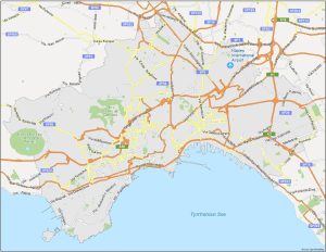
Download and navigate around with this Naples map collection which displays highways/roads, reference information, and things to do.
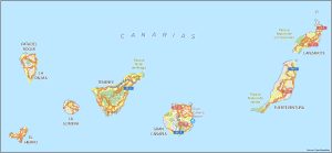
Download any of our maps featured in the Canary Islands collection. We show key information of this unique archipelago in the Atlantic Ocean.
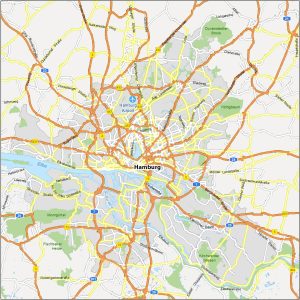
Get to know Hamburg, Germany like a local. Our Hamburg map collection shows highways, localities, things to do, and much more.
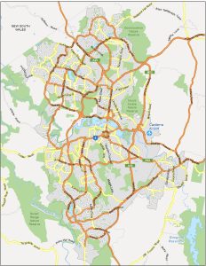
Use this map of Canberra to start your adventure in the capital city of Australia – a road map, neighborhood map, and list of things to do.
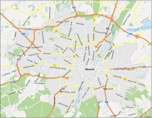
Are you looking for a map of Munich? You’re in luck because we’ve created a map collection of the third-largest city in Germany (Munich).