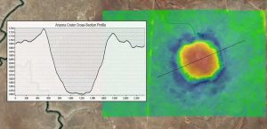
How To Create a Topographic Profile in ArcGIS
Topographic profiles are cross-sectional views showing elevation along a line with applications in engineering, hydrology, land use planning and more.
Topographic profiles are cross-sectional views showing elevation along a line with applications in engineering, hydrology, land use planning and more.
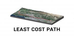
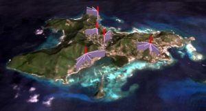
The least cost path finds the most cost-effective path, from a start point to a destination, making it a useful tool for linear routing.
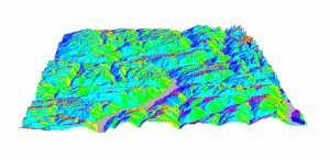
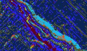
In the mountains, the terrain slopes are in all directions – east, west, north and south-facing. The compass direction that the slope faces is slope aspect.

You can take any image, and you can vectorize it with ArcScan. This means you’ll spend less time digitizing and more time doing other important things.
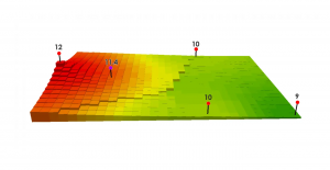
Inverse Distance Weighting (IDW) interpolation estimates unknown values with specifying search distance, closest points, power setting & barriers.
Tech-savvy companies are using the location-allocation tool to find optimal location and target market. Here’s an ArcGIS solution to locate your company.
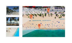
When you take a photo with your GPS on, it stores its physical location where the photo was taken. Geotagging assigns coordinates to photos.
Flow direction calculates the direction water will flow in its eight adjacent cells using slope from neighboring cells (in a raster grid cell)
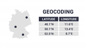
Geocoding takes an address, then translates it to a location on a map. It changes an address to lat long coordinates (latitude and longitude).
For raster resampling in GIS, you can use bilinear and cubic convolution for continuous data as well as nearest neighbor and majority for discrete data.