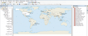
How To Use ArcGIS Desktop (ArcMap)
This is an overview how to use ArcGIS Desktop (ArcMap). We teach you the user interface, toolbars, licenses, menu bars, extensions, windows and more!
This is an overview how to use ArcGIS Desktop (ArcMap). We teach you the user interface, toolbars, licenses, menu bars, extensions, windows and more!
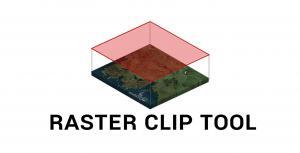
Learn how to clip rasters in ArGIS using the raster clip tool in ArcToolbox as well as the clip button as part of the Raster Functions.

The image analysis toolbar can generate NDVI maps in ArcGIS. NDVI shows areas of high and low vegetation and requires red and NIR bands.

Create thousands of maps instantly with data driven pages in ArcGIS. Learn more about adding dynamic text, zooming to extents and exporting PDF mapbooks

This guide shows how Mean Absolute Error in GIS is used. We give a step-by-step instructions how to calculate MAE in Excel and a quick formula to use.

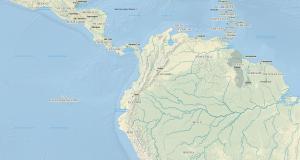
Configure your time series animation in ArcGIS with this tutorial. Visualize geographic events (snow melt, forest fire, disease) in time
Principal component analysis PCA identifies duplicate data over several datasets & aggregates essential information into groups called principal components.

Root Mean Square Error (RMSE) in GIS can be used to calculate how much error there is between predicted and observed values. (ex. error in a DEM)
Follow these quick 5 steps and turn Excel lat long coordinates into spatial data in ArcMap. Set to WGS 1984. Add table. Display XY Data. Export shapefile.

Spatial autocorrelation helps us understand the degree to which one object is similar to other nearby objects. Moran’s I is used to measure autocorrelation.